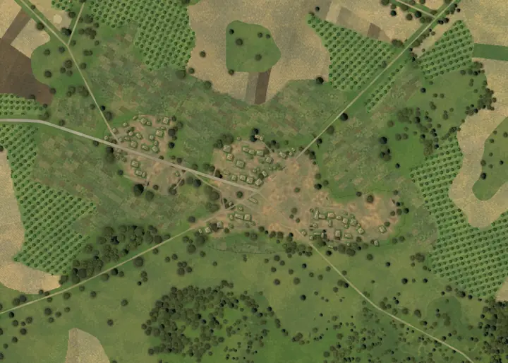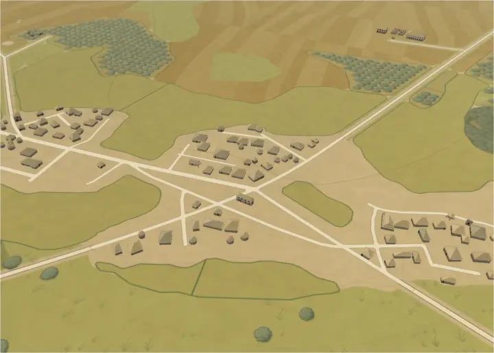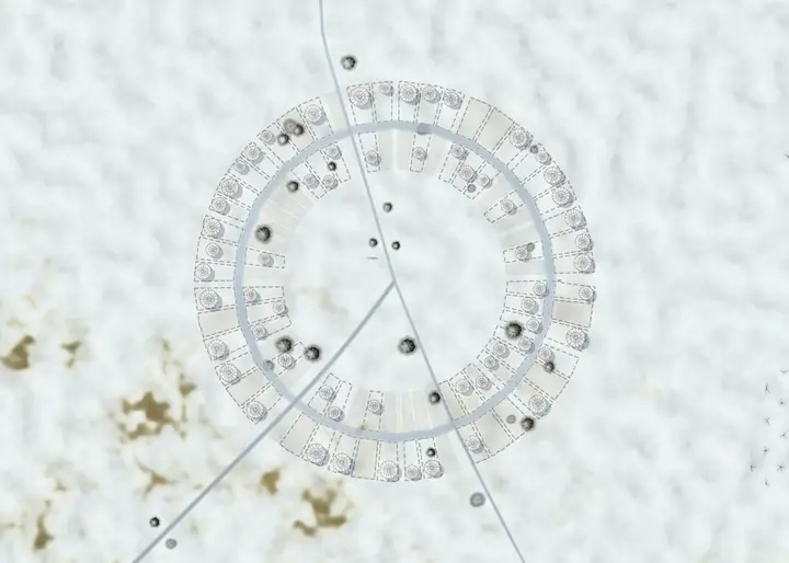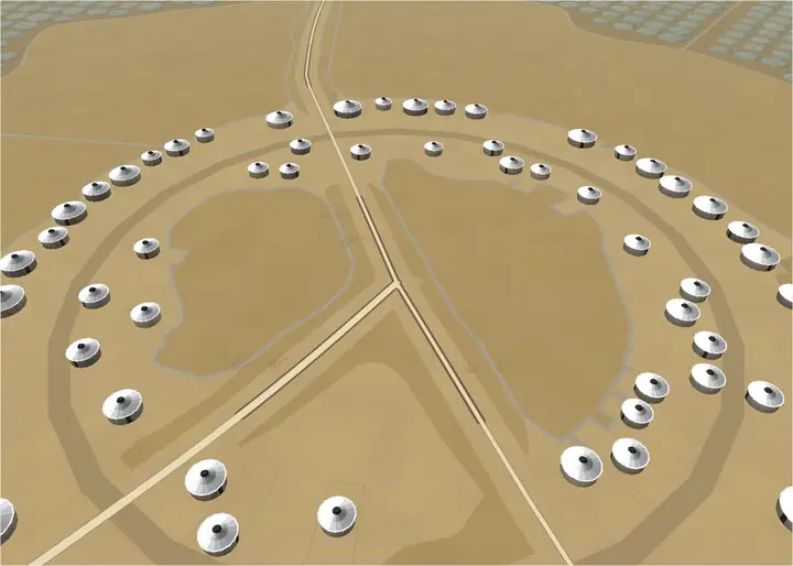
Architectural styles

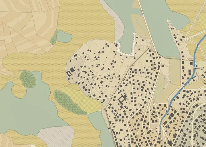
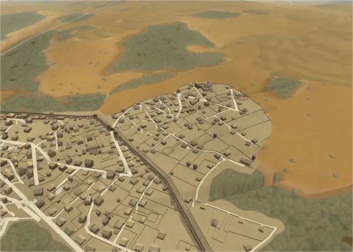
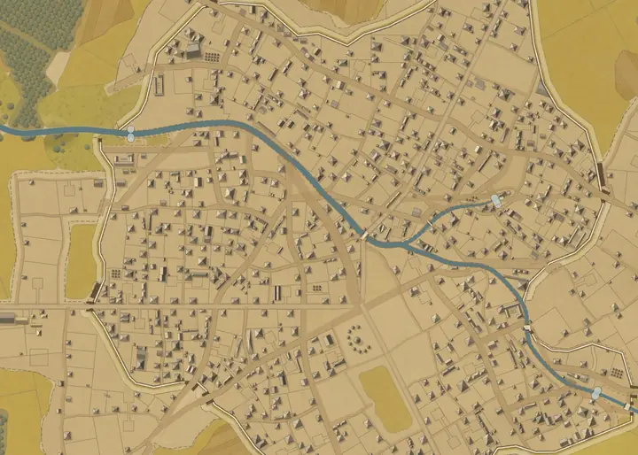
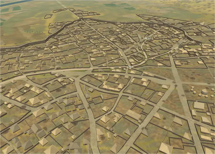
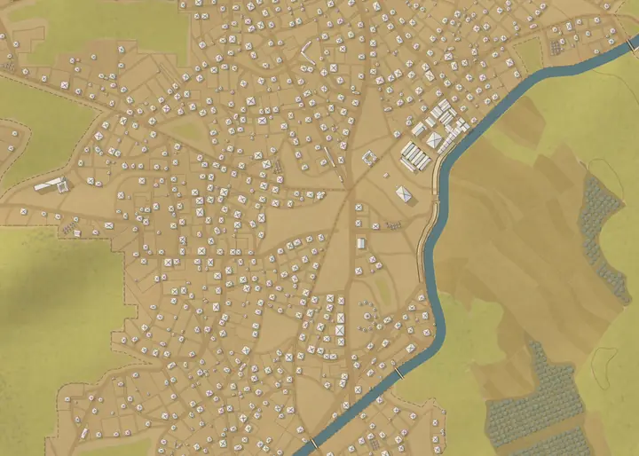
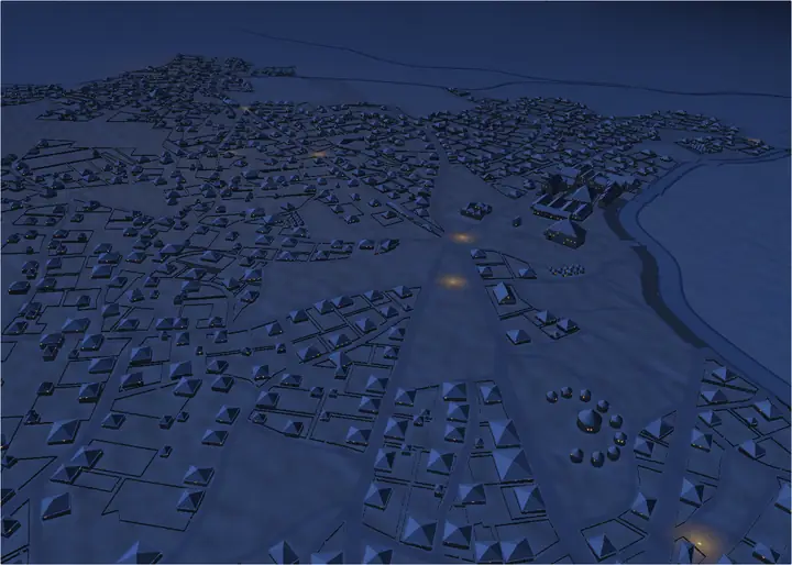
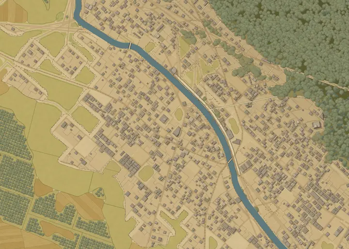
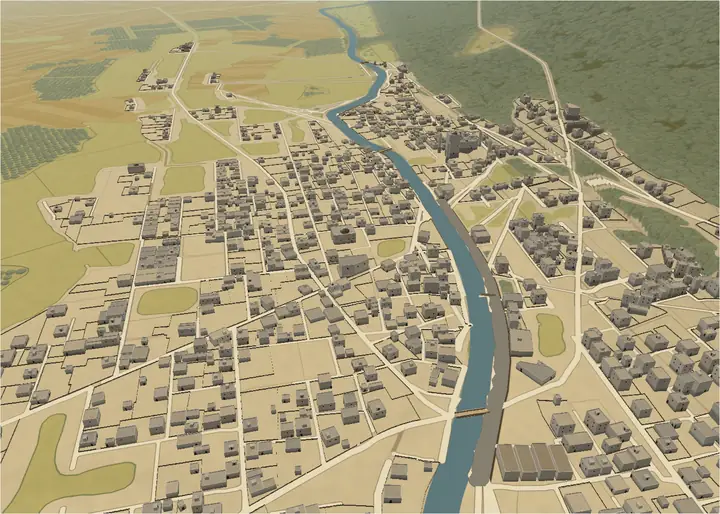
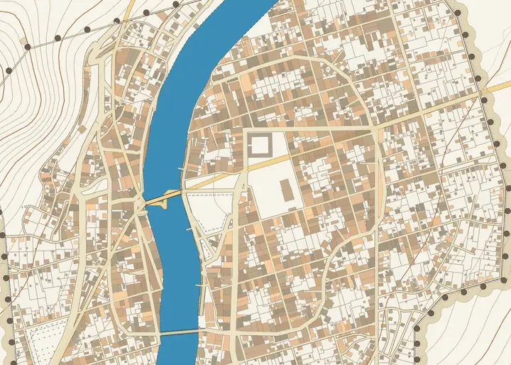
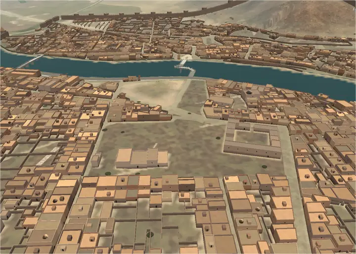
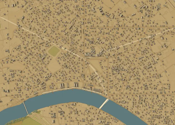
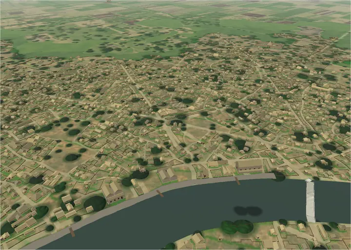
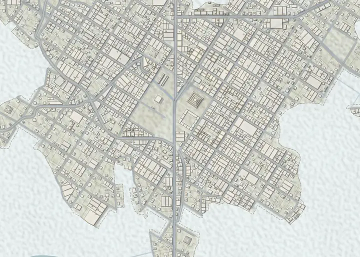
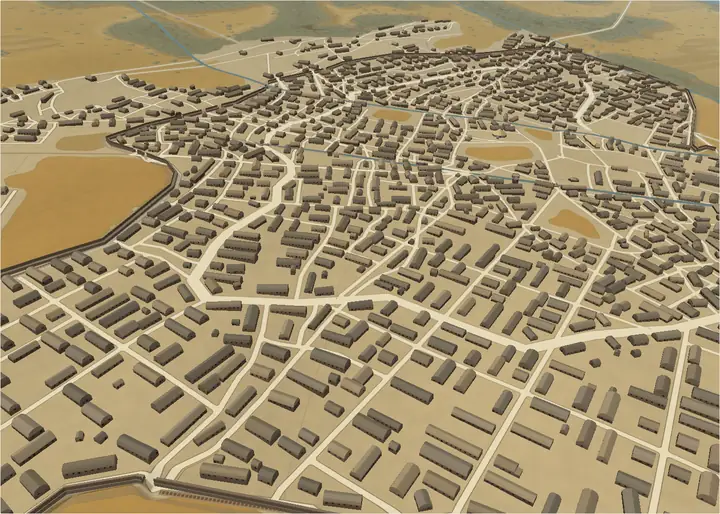
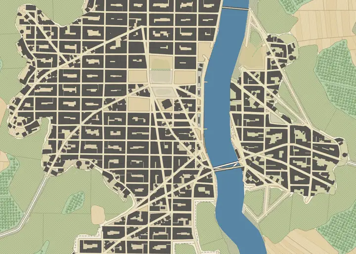
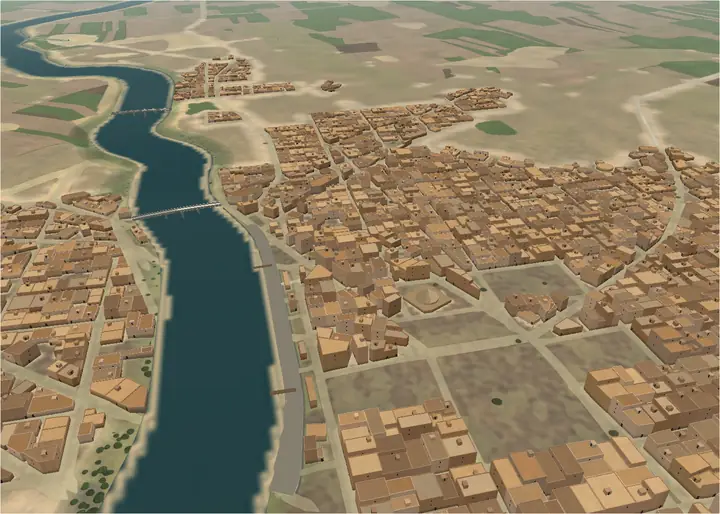
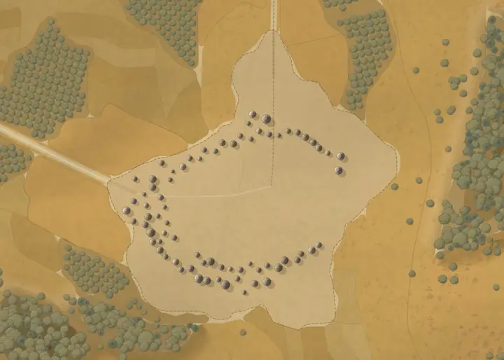
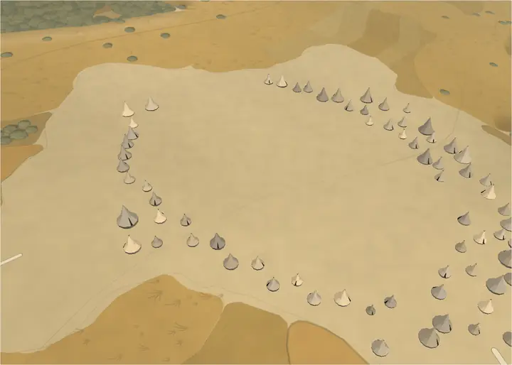
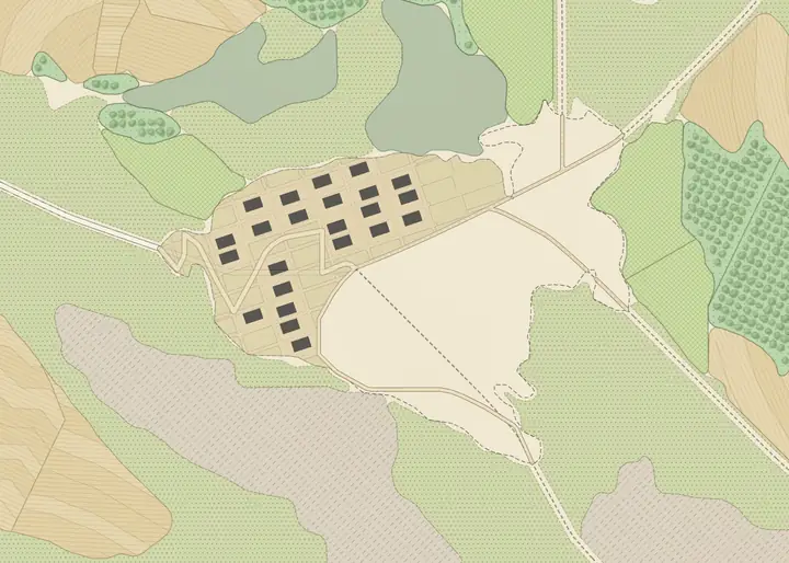
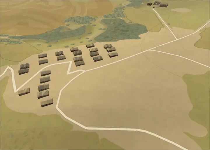
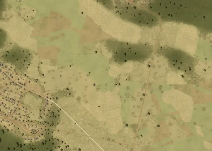
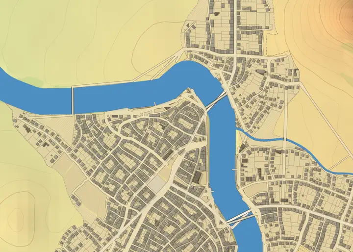
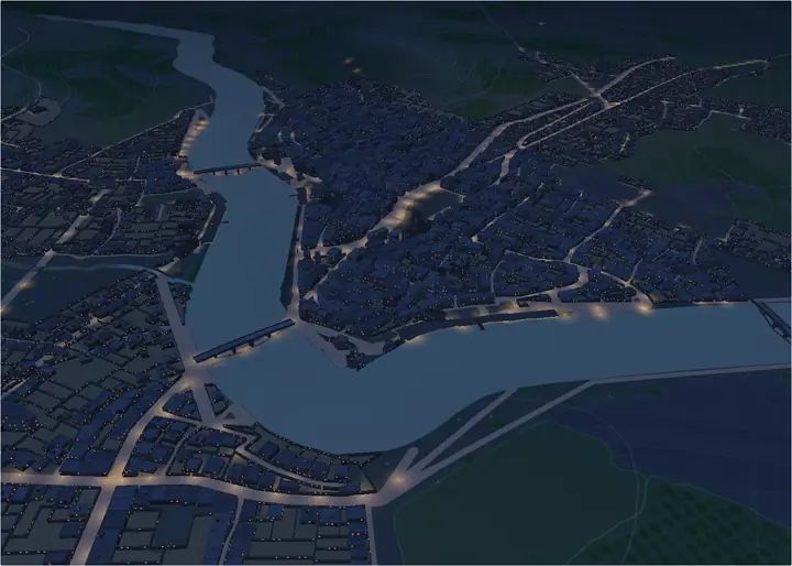
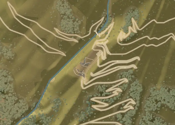
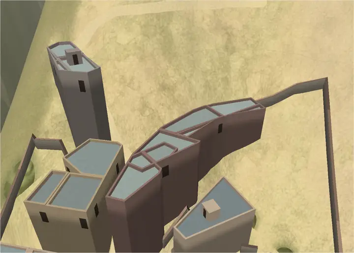
In Magna Urbis a culture is a data sheet. It tells the generator how streets are laid out, how plots are cut, which houses stand on them, which monuments the town builds and what the countryside around it looks like. There are 115 of them, from medieval organic towns to cyberpunk megacities.

115cultures
60historical
19fantasy and camps
27modern
9futuristic and alien
57farm types

How a style becomes a town

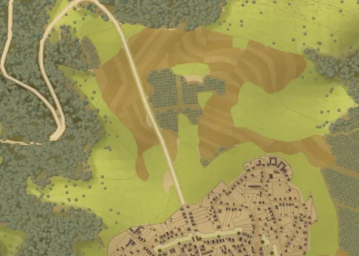
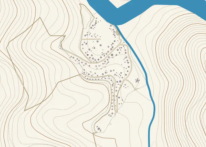
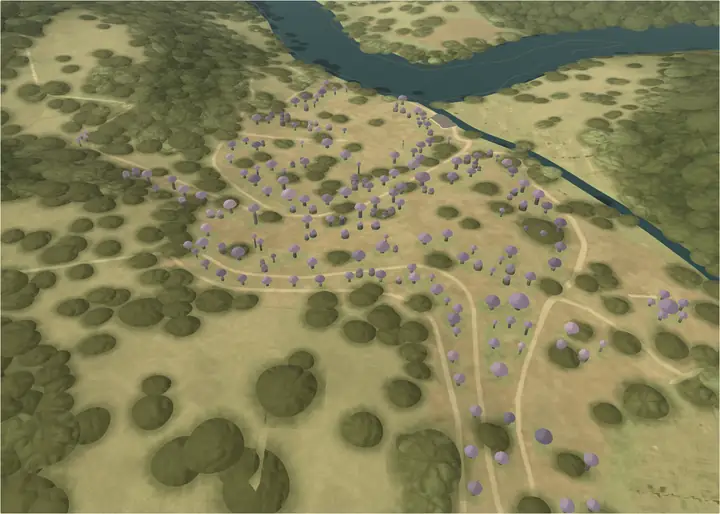
The sheet of a culture is read facet by facet. The street plan and the plots come from its urban recipes, the houses and roofs from its building tradition, the monuments from its programme, the farms and hamlets from its countryside entry. Each facet is consumed by one stage of the town pipeline.

A hybrid style is a sheet whose facets name different cultures, with weights: an old core, a planned extension, then suburbs can each speak another style.

The five facets of a culture sheet and the stages that read them. Hybrid sheets feed the same stages from several cultures. Culture sheetStreets and planpattern, walls, gatesPlotsfrontage, depth, fillMonumentsnucleus, servicesHouses and roofsplans, roofs, storeys, paletteCountrysidefarms, hamletsplanstreets, quartersparcelsplotsprogrammeroles per plotmassingvolumesformshouse shapesfarms and hamletssettlements stageHybrid style sheeteach facet takes its own weighted mix of cultures
The five facets of a culture sheet and the stages that read them. Hybrid sheets feed the same stages from several cultures.

Europe

16
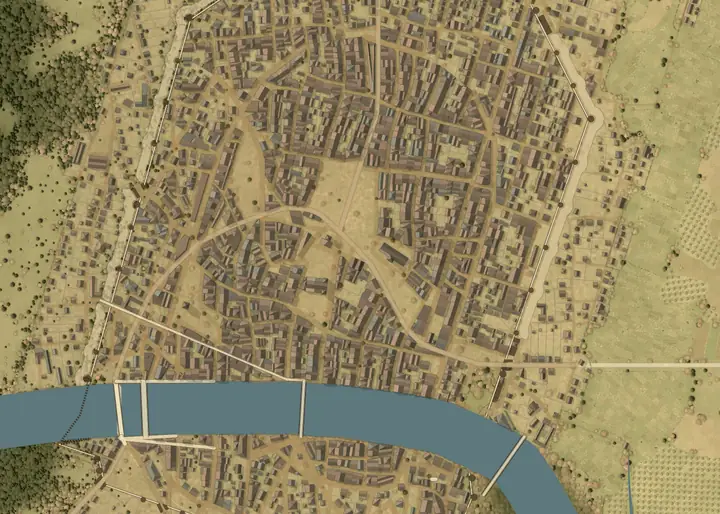
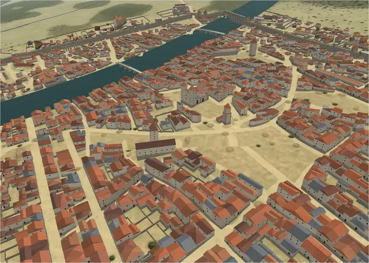
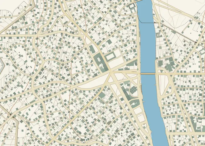
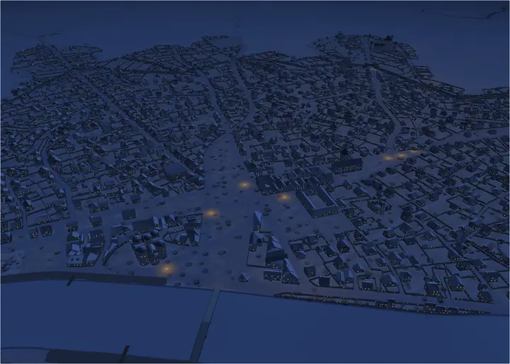
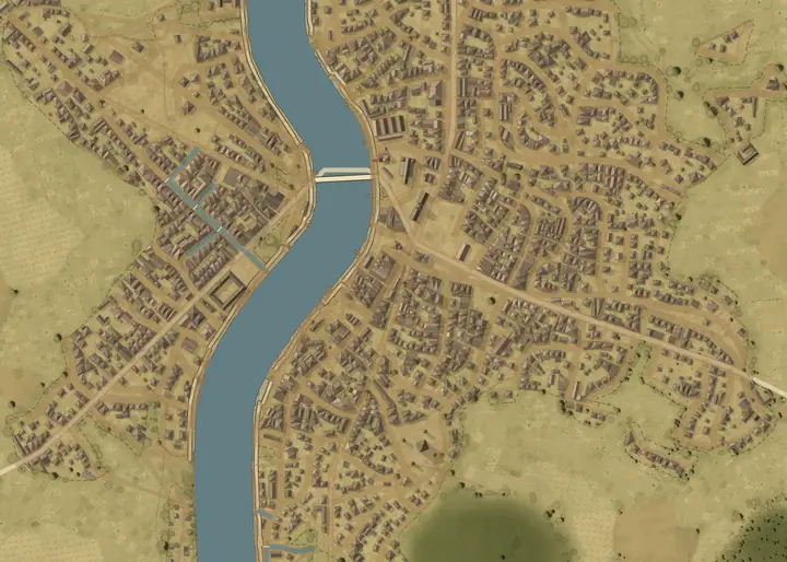
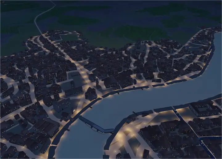
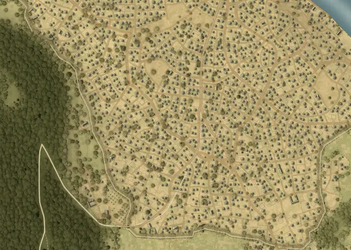
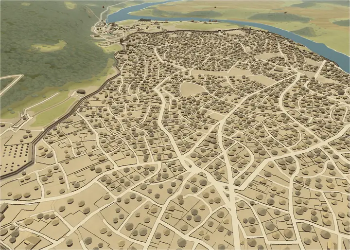
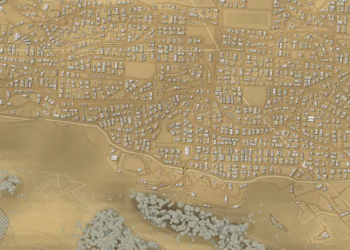
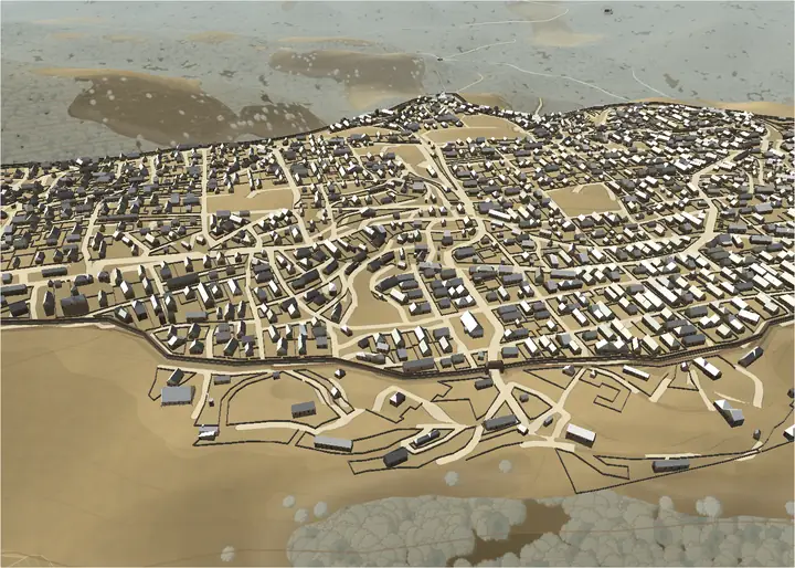
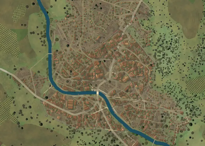
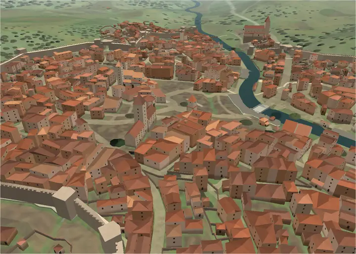
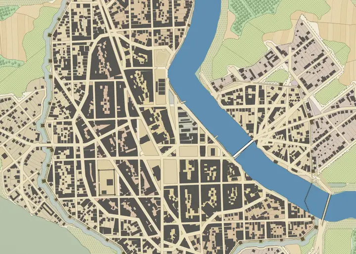
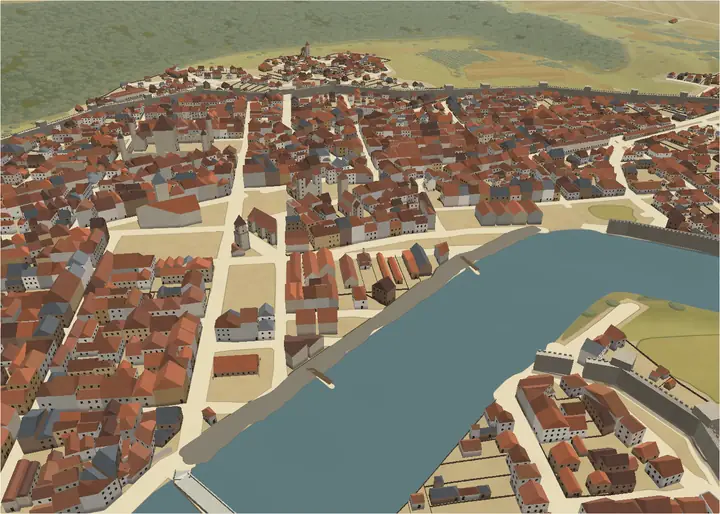
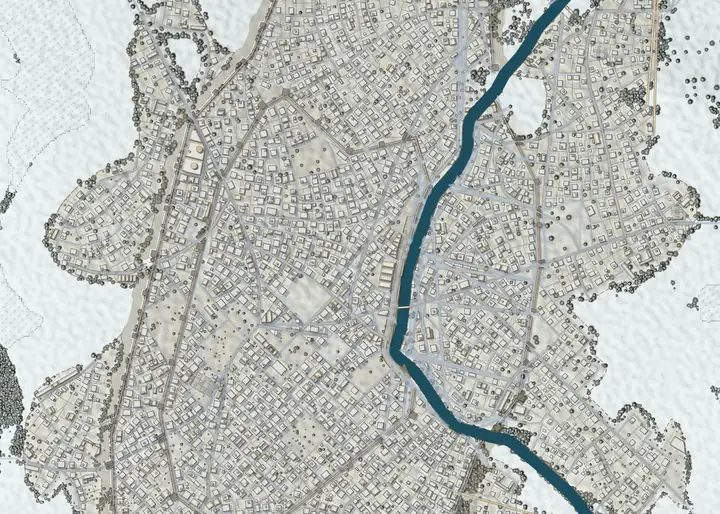
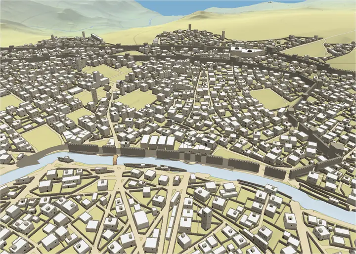
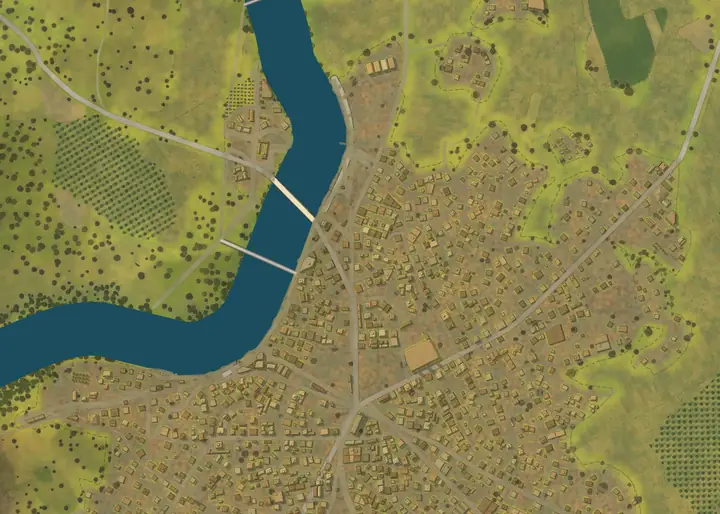
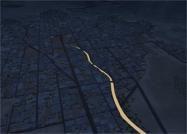
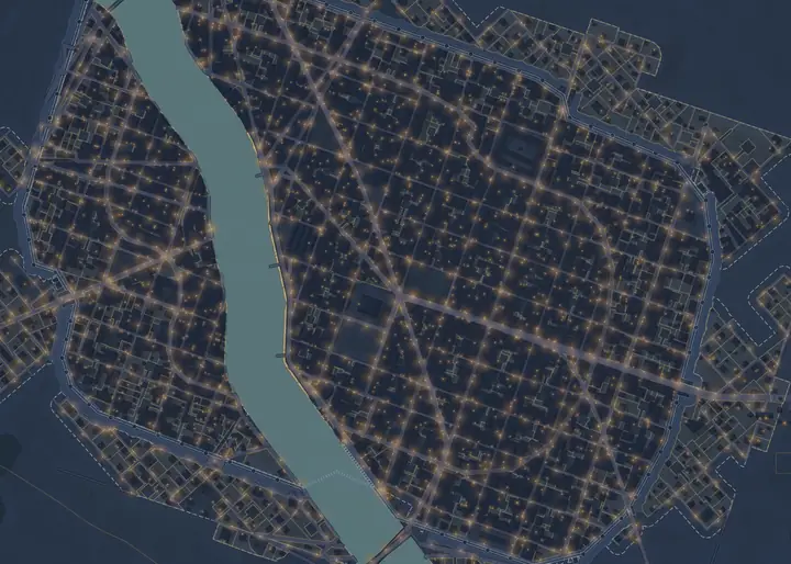
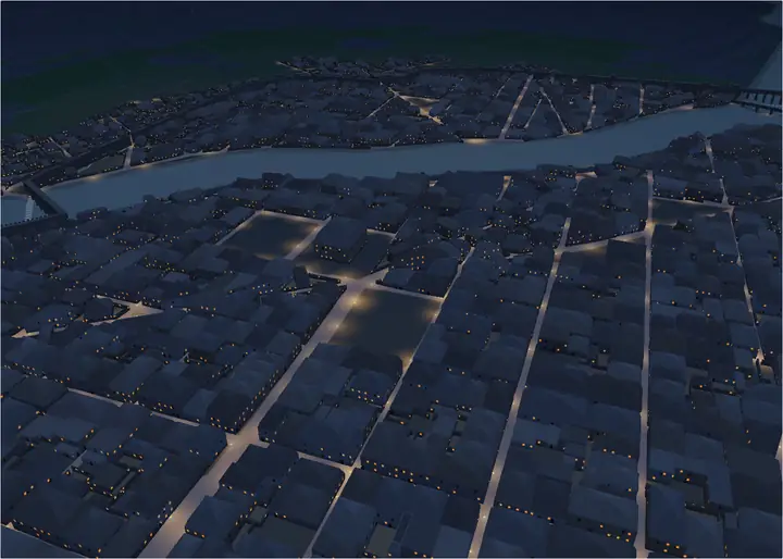
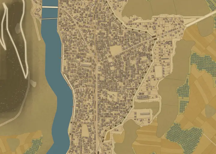
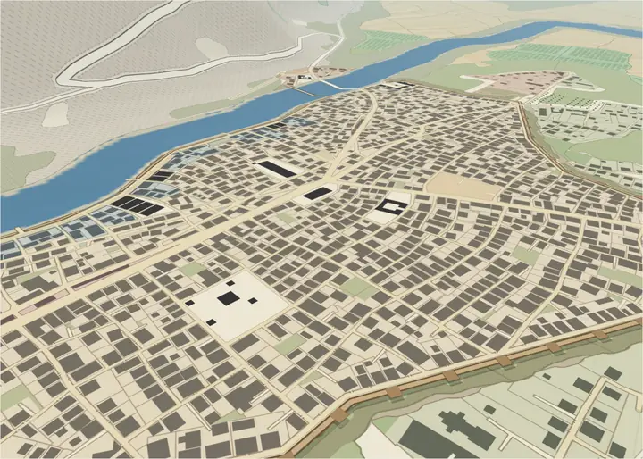
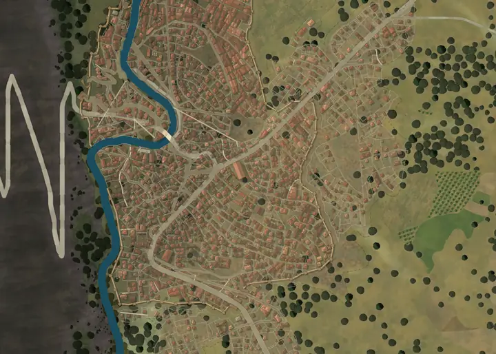
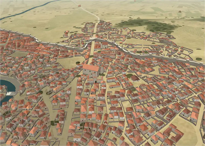
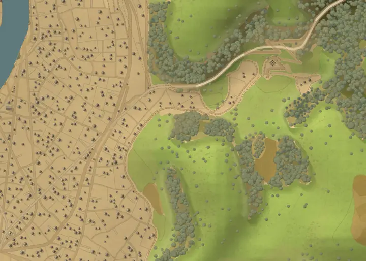
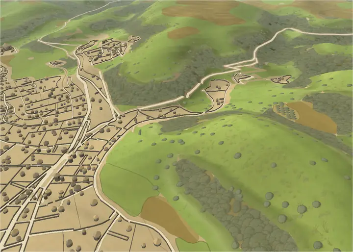
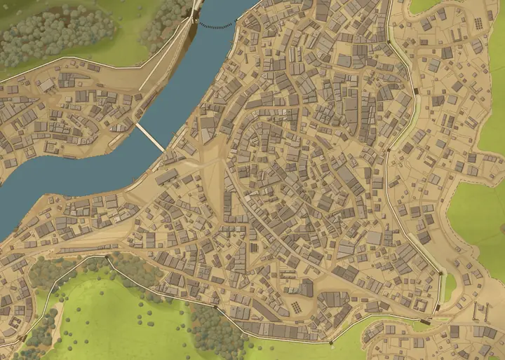
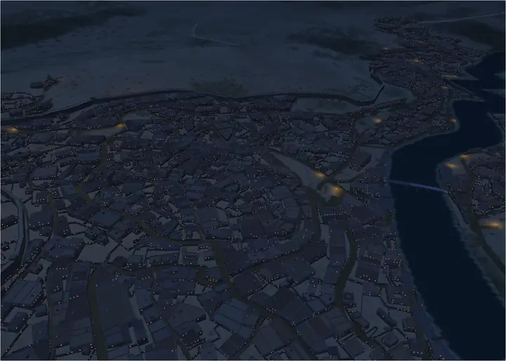
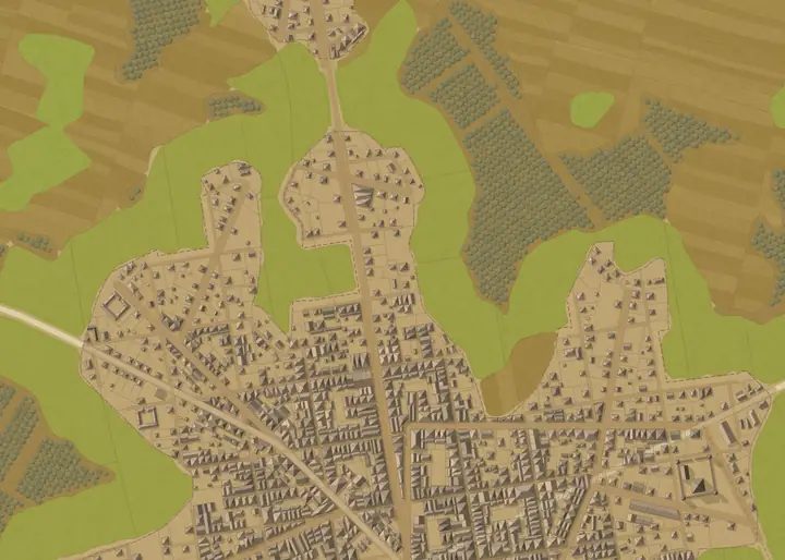
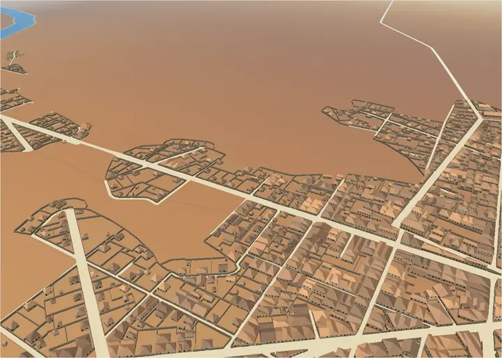
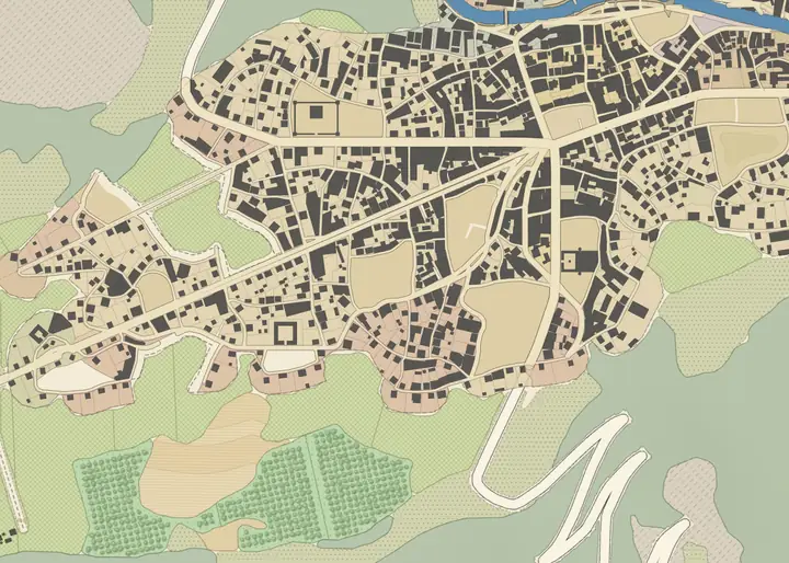
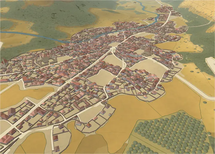
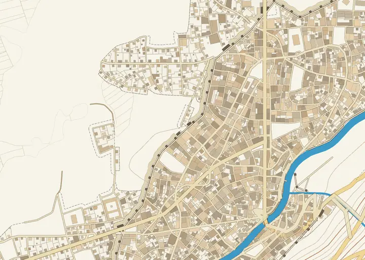
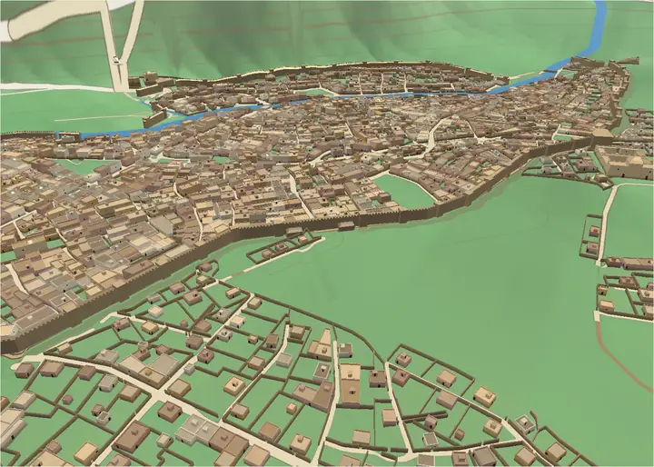
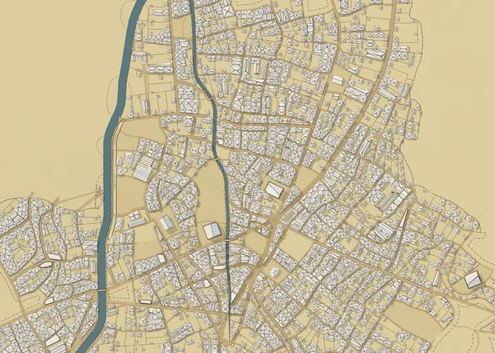
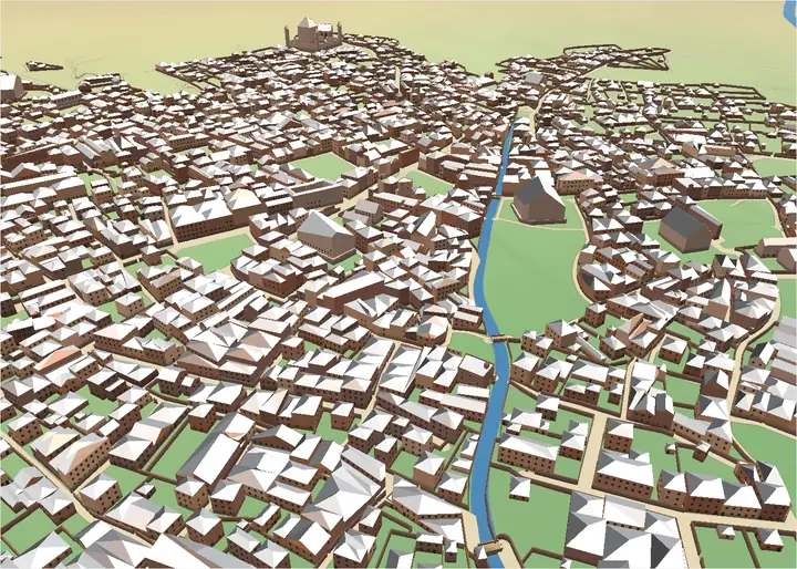
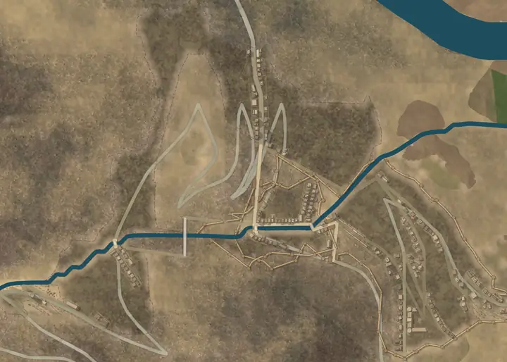
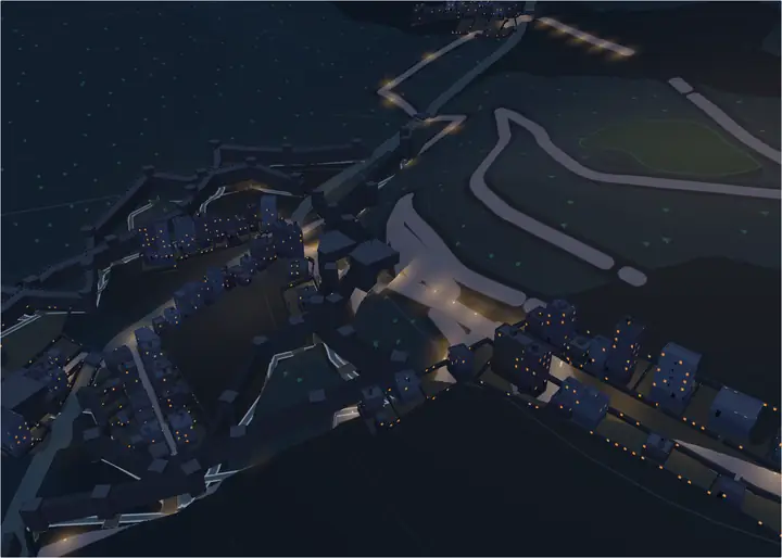
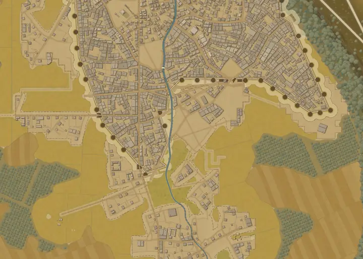
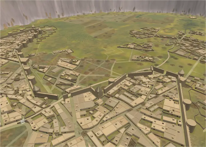
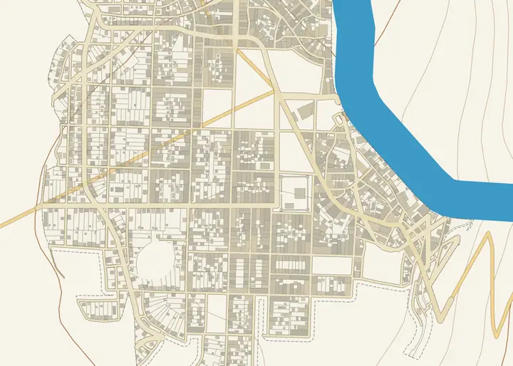
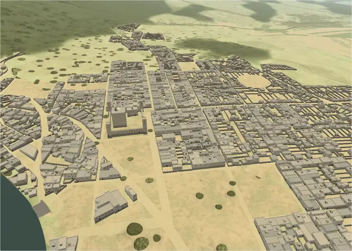
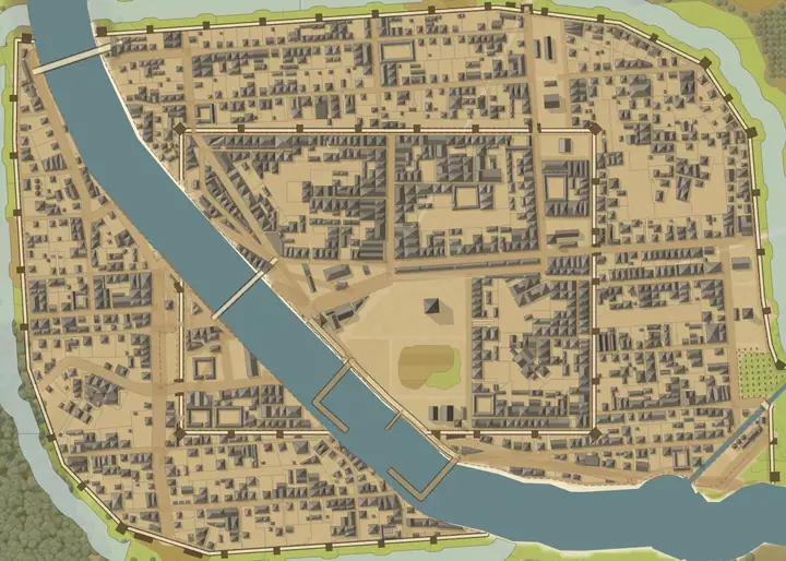
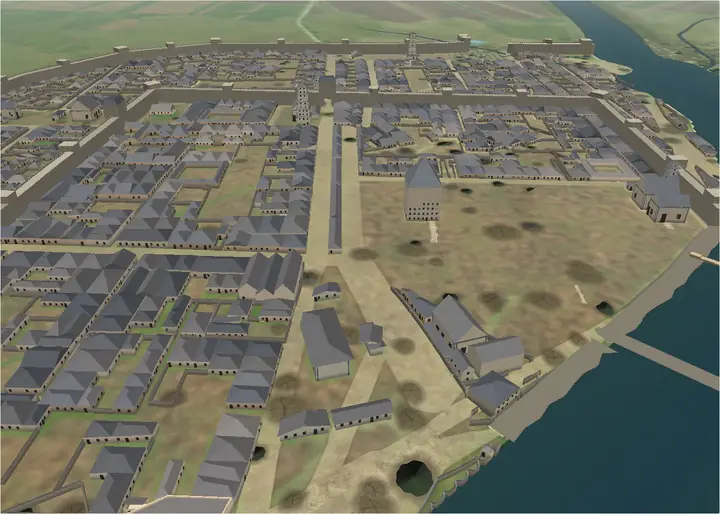
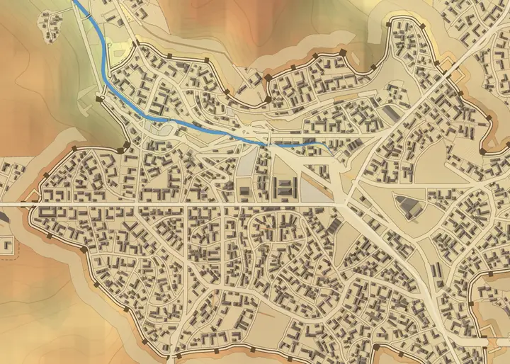
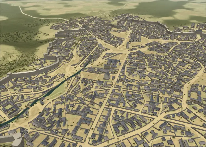
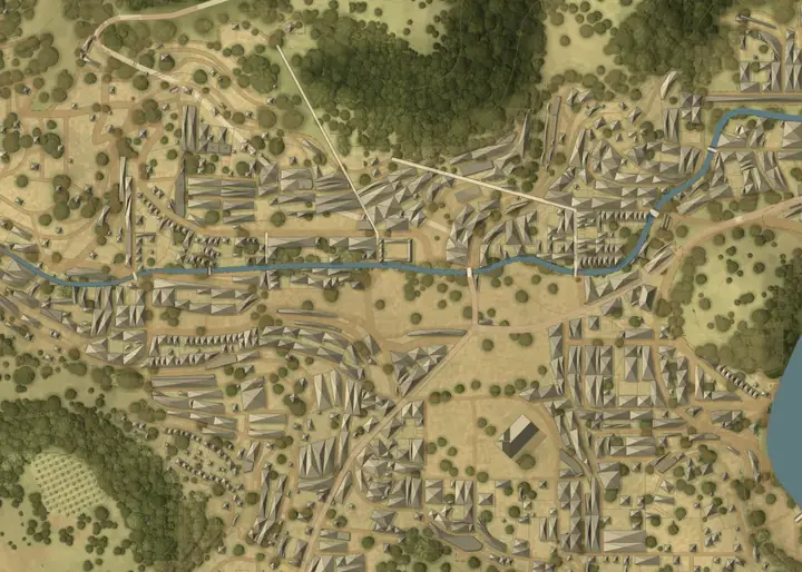
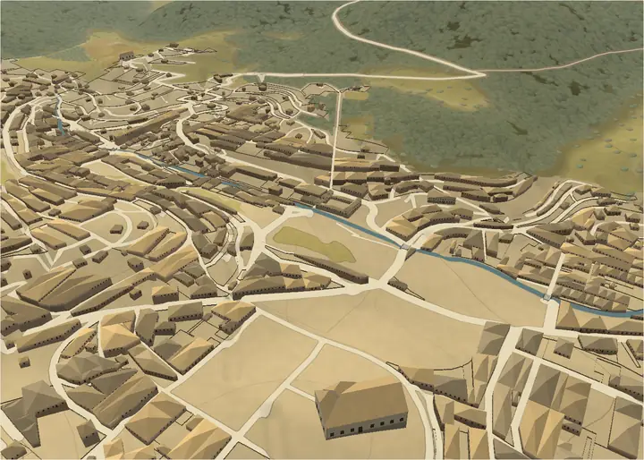
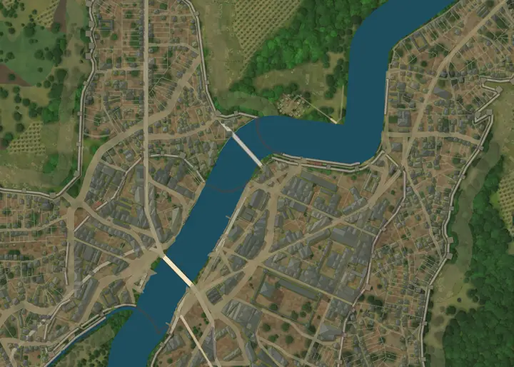
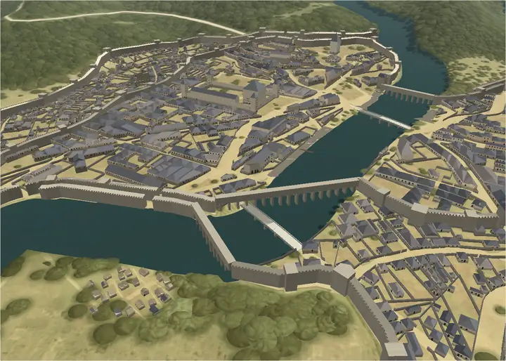
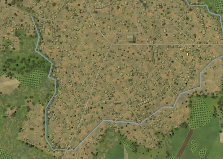
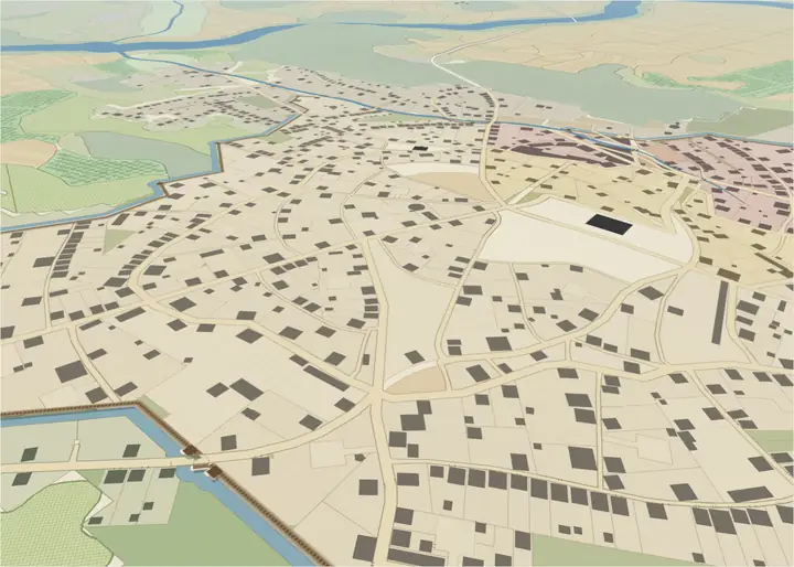
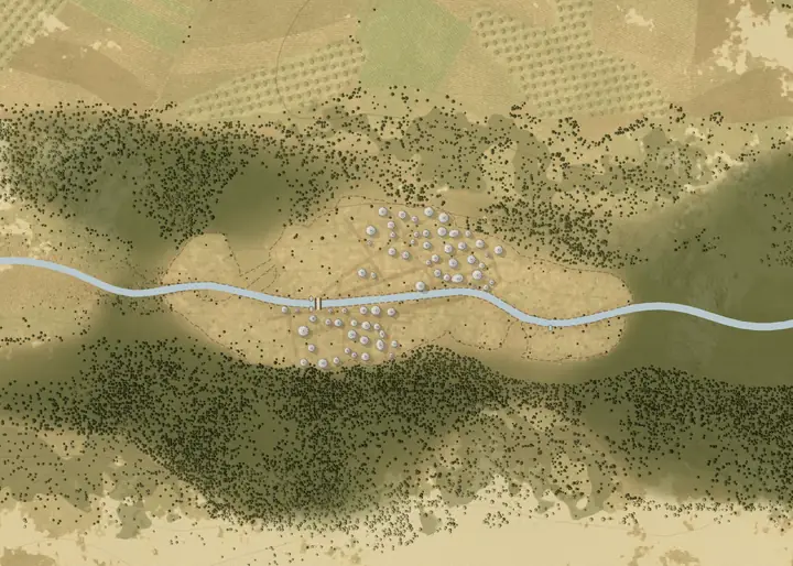
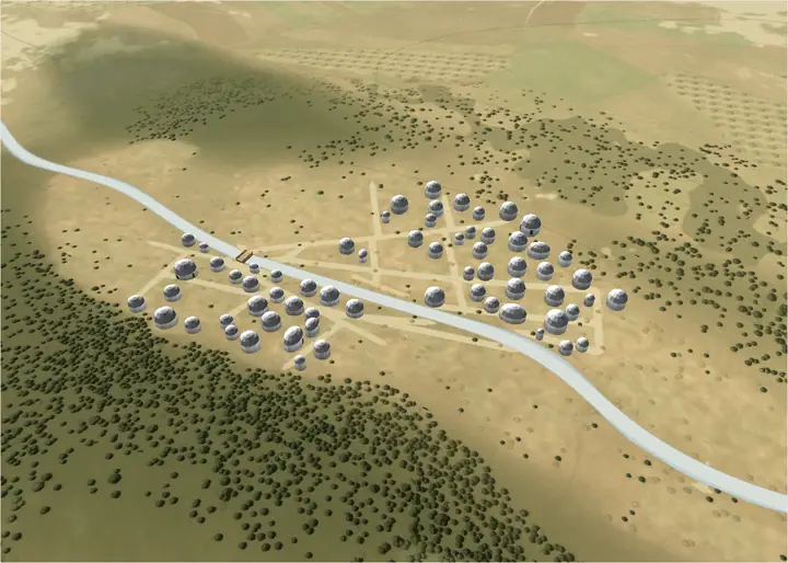
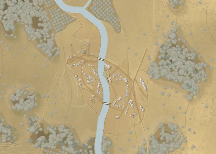
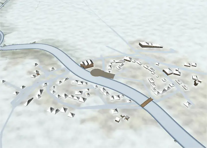
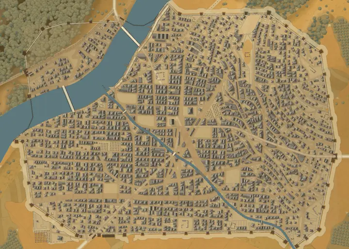
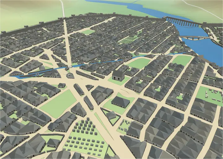
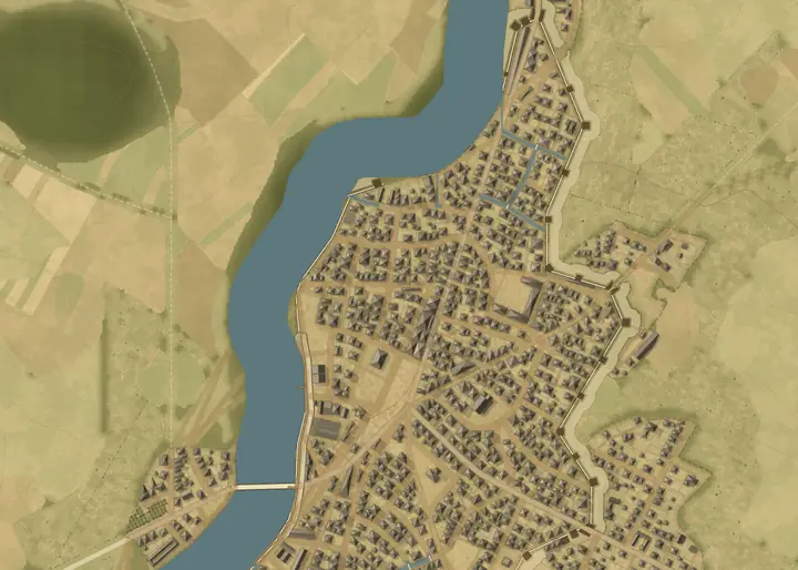
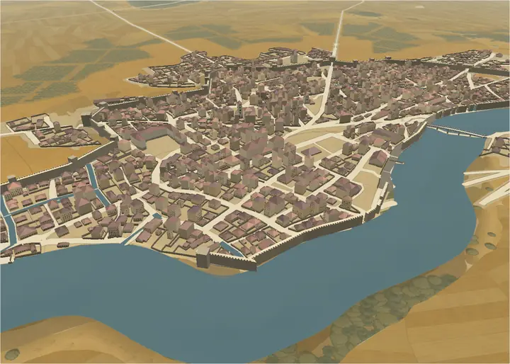
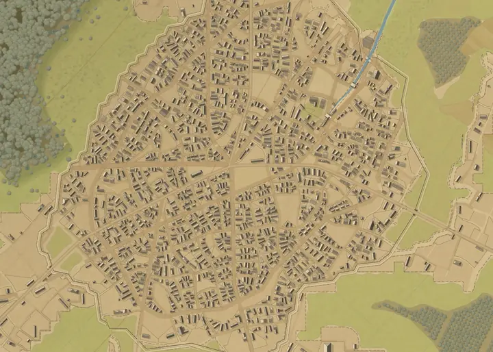
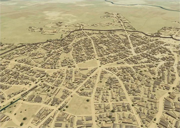
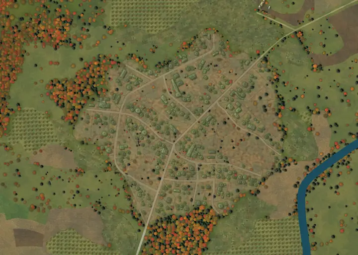
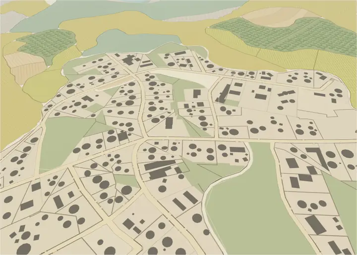
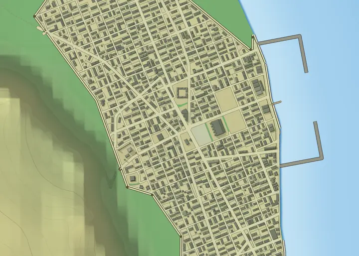
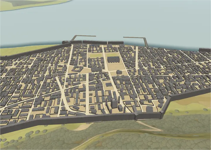
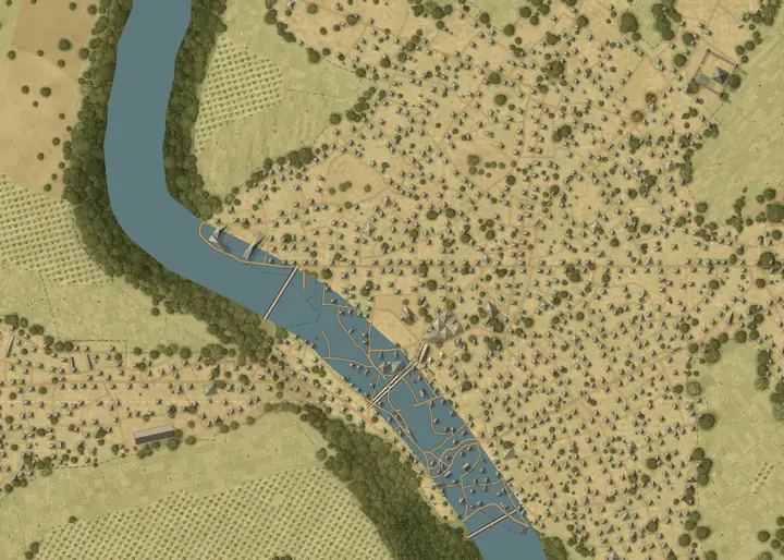
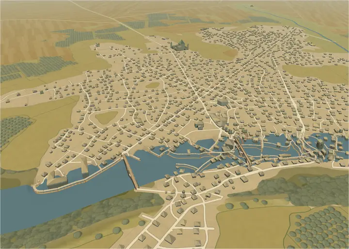
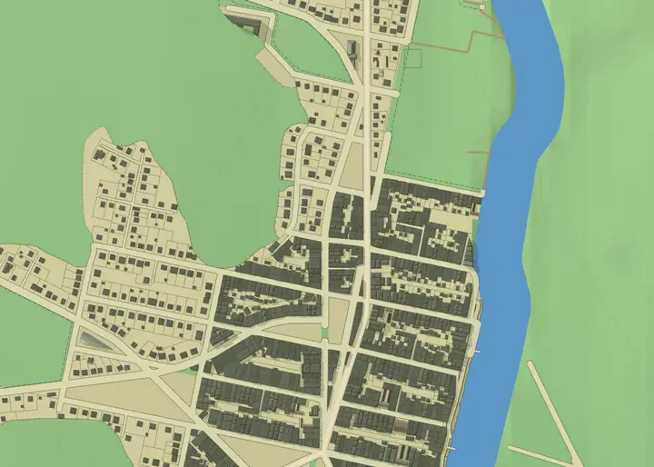
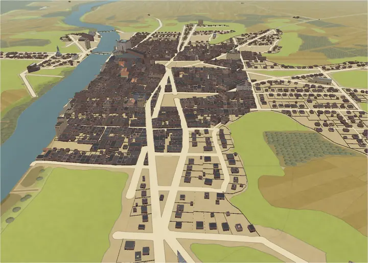
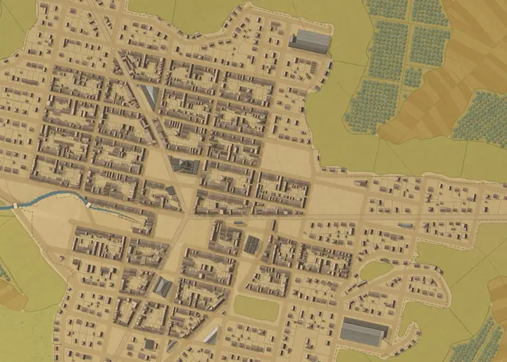
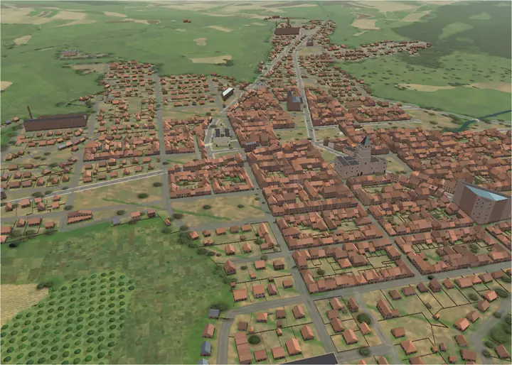
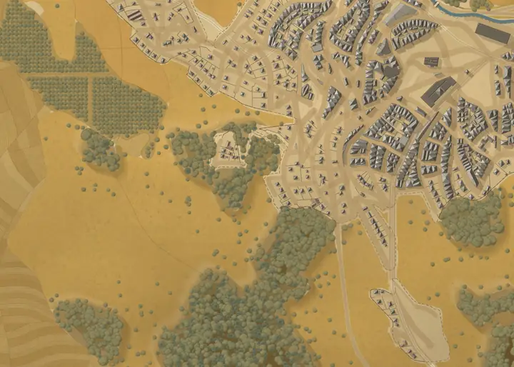
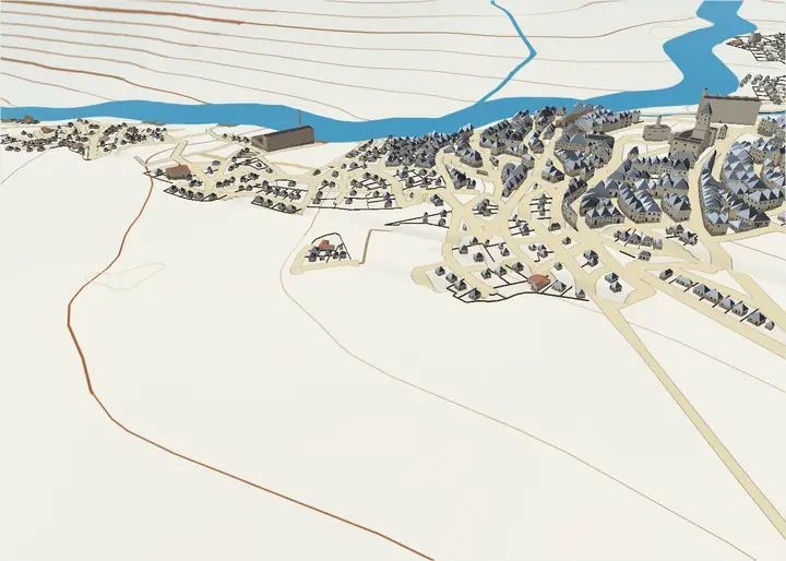
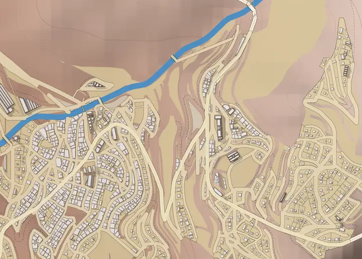
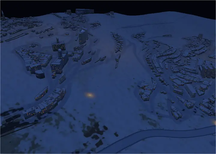
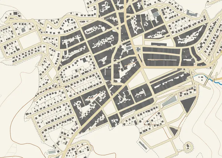
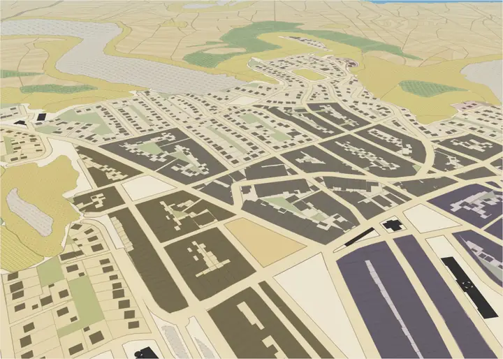
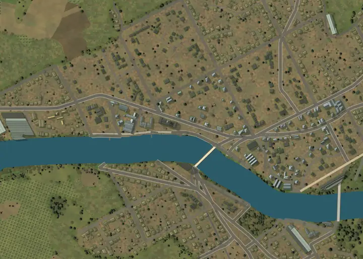
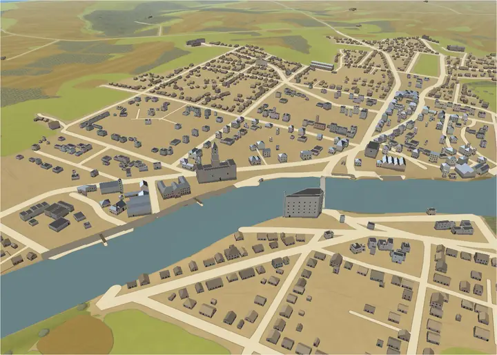
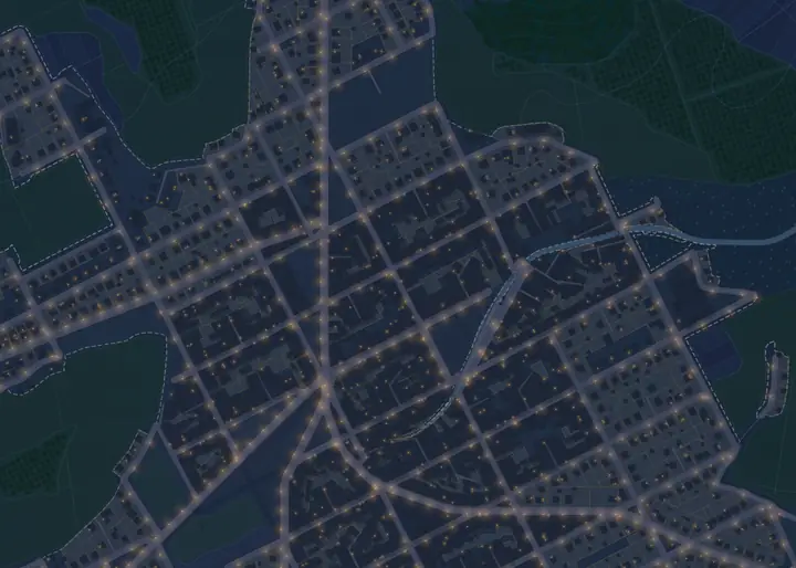
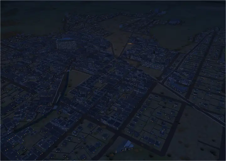
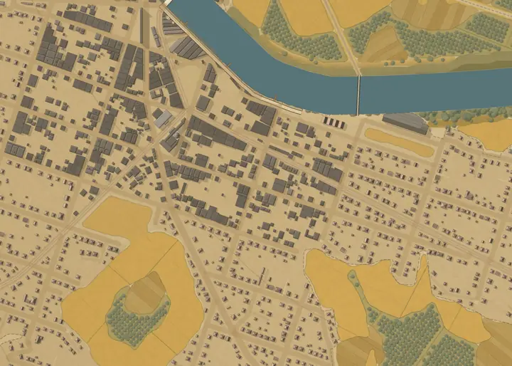
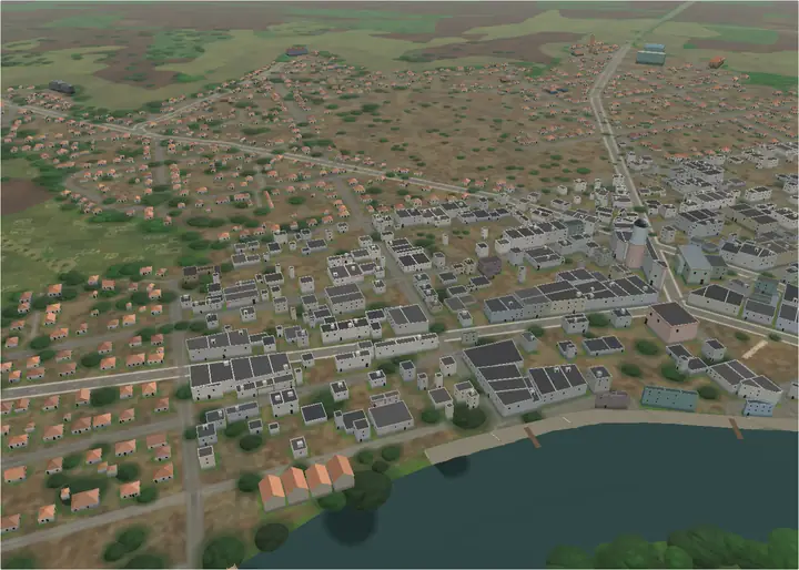
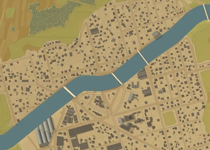
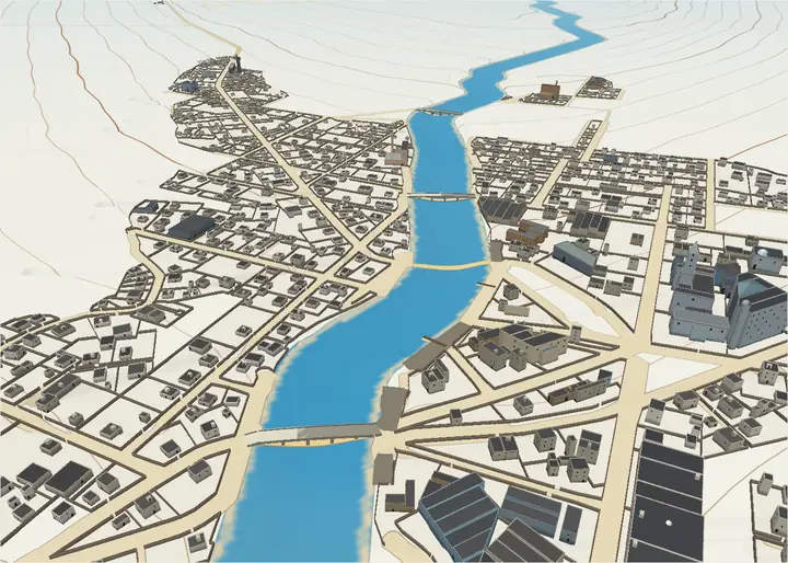
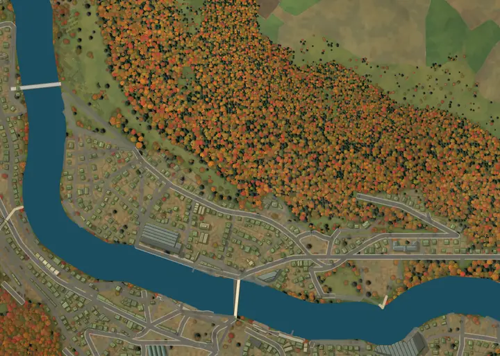
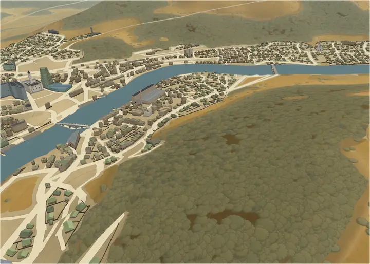
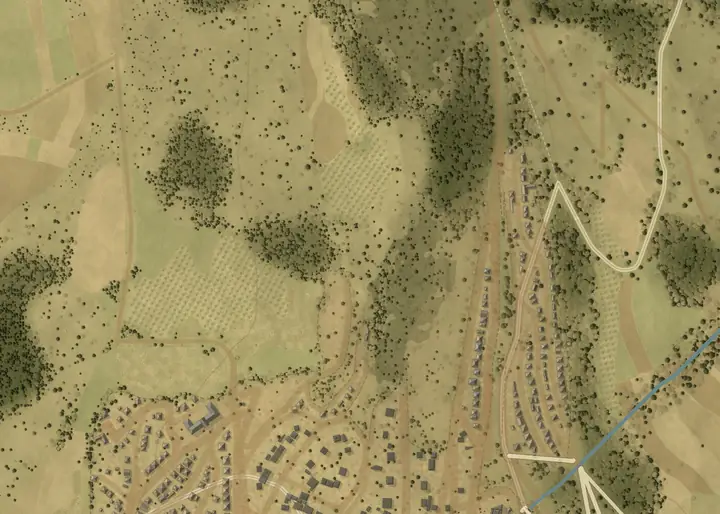
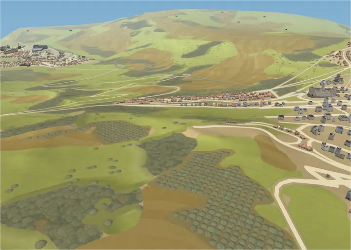
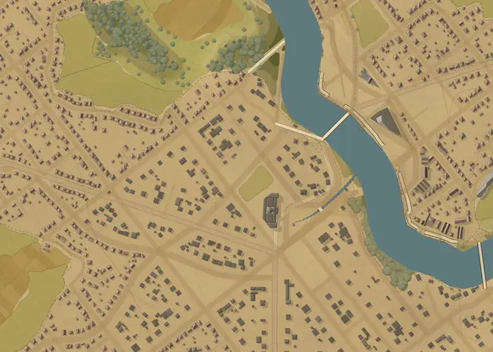
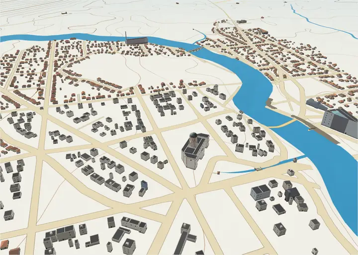
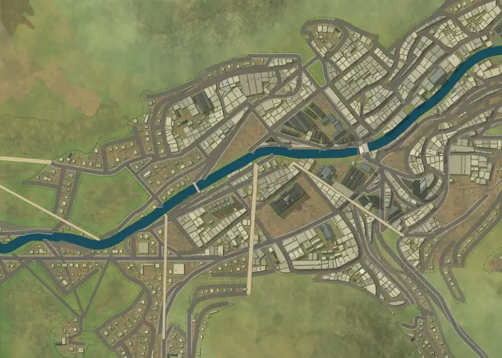
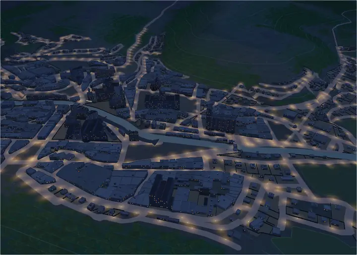
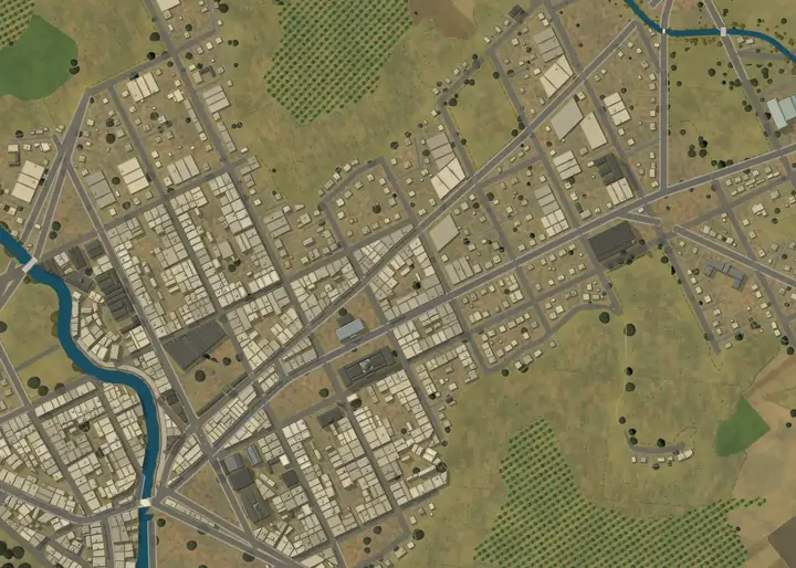
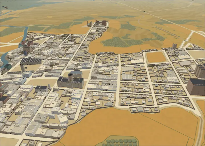
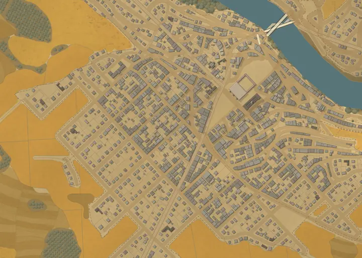
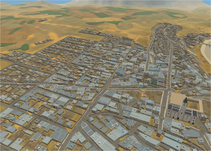
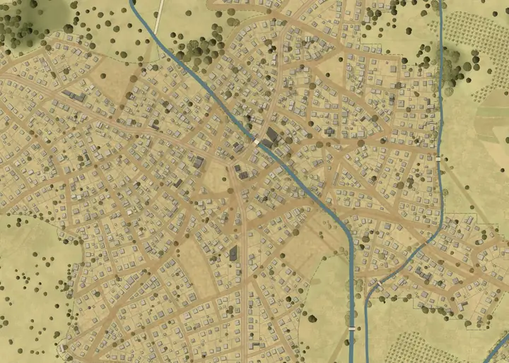
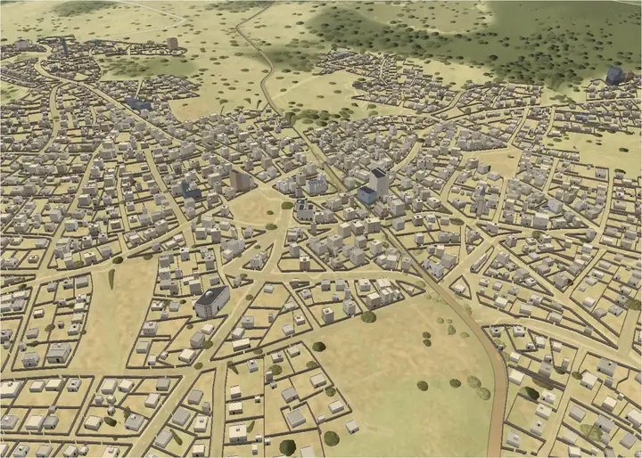
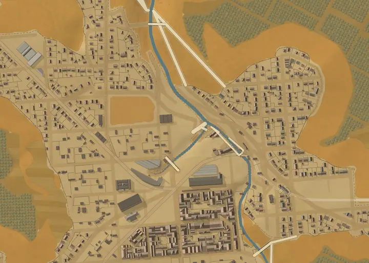
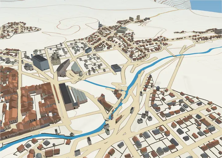
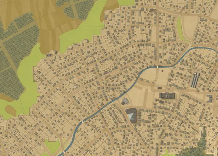
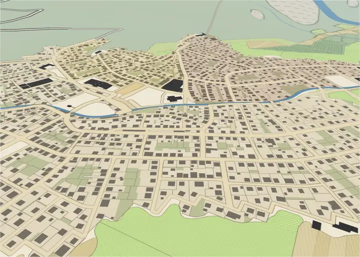
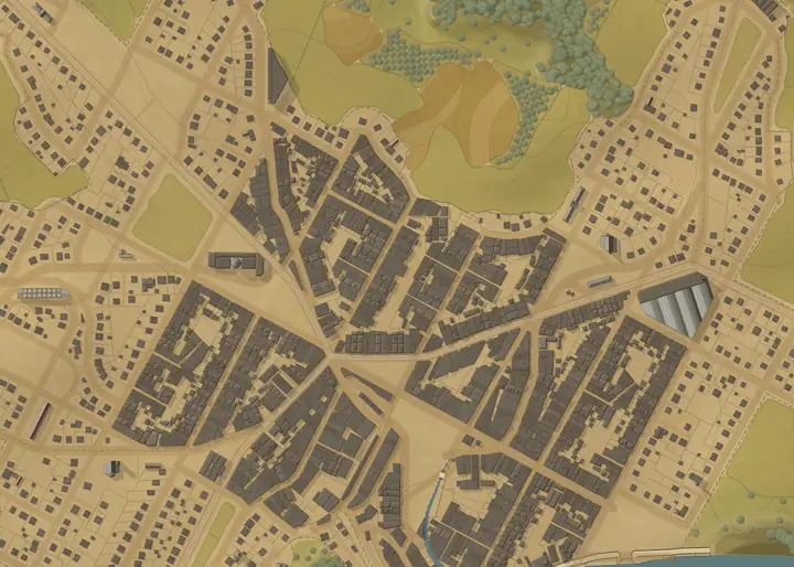
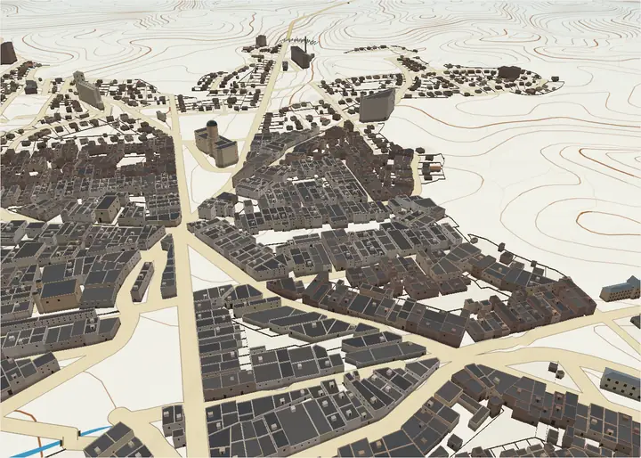
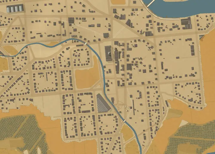
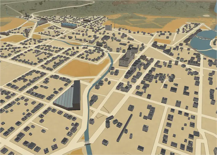
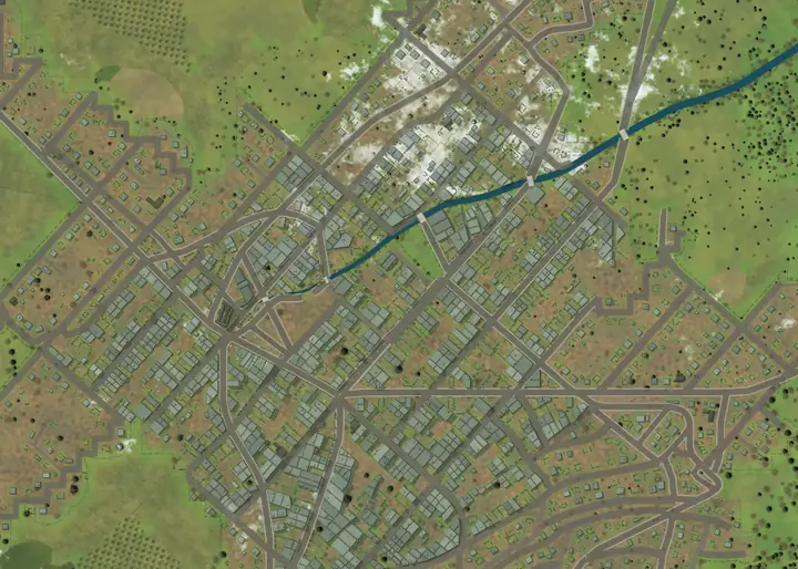
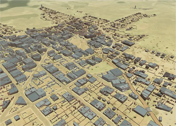
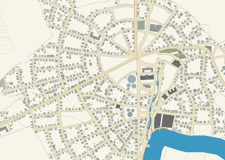
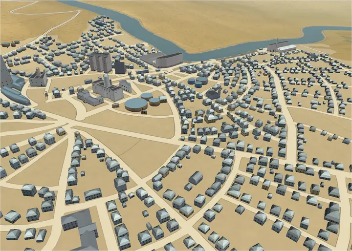
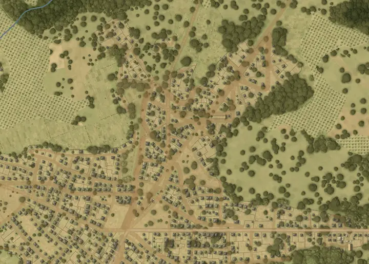
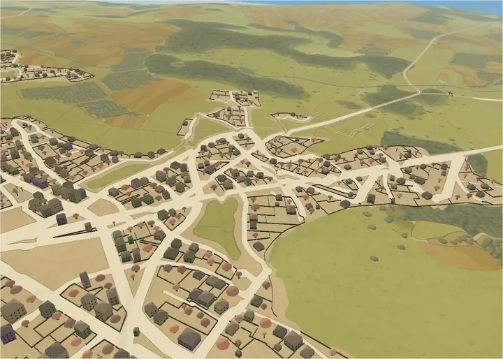
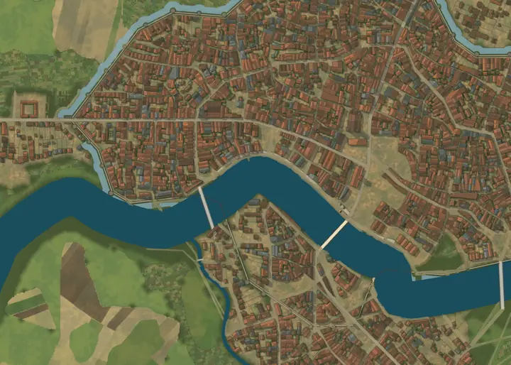
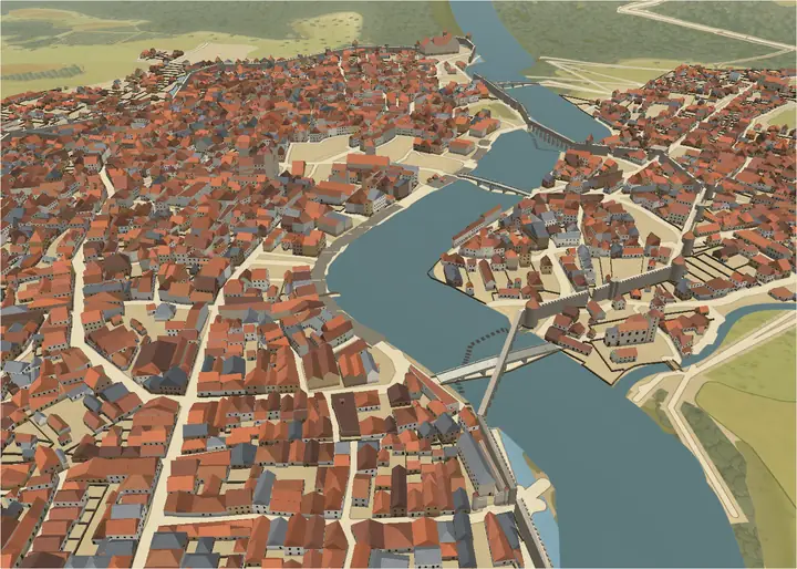
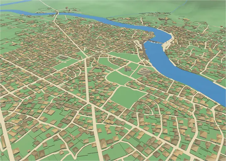
Medieval organic (Europe): top view of a generated townMedieval organic (Europe): three-dimensional view of a generated town

Medieval organic (Europe)

european-organicHistorical

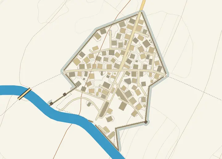
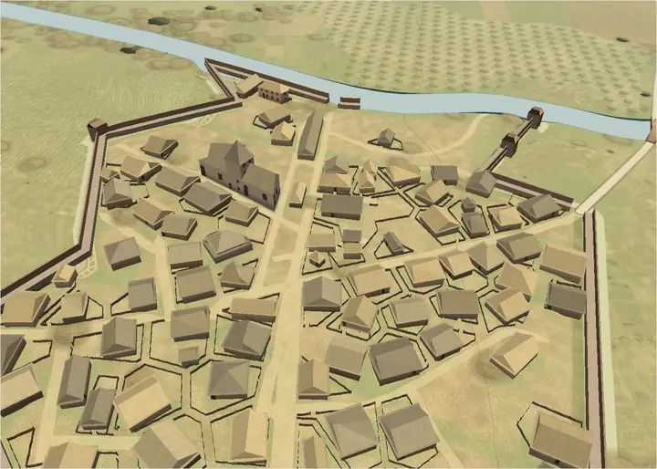
A medieval town grown by accretion: winding streets radiating from a market, narrow burgage plots under gabled timber houses, a parish church in each quarter.

Plan
organic
Enclosure
irregular
Storeys
2–4
Roof
gable
10 m · 5.5–9×24–422–4 ×
Numbers and details
ZonePeople per haFrontage (m)Plot depth (m)Coverage
Core1855.5–924–4290–96%
Middle ring1206.5–1130–5078–86%
Suburb557–1330–6064–74%
Village3518–4040–8012–30%

Home plans

  • bar
  • L-shape
  • cross
  • T-shape
  • courtyard
  • H-shape
Nucleus
market
Fortification
chosen by town size
Pitch
38°
Wall material
timber
Farm types
vierkanthof u-yard l-yard
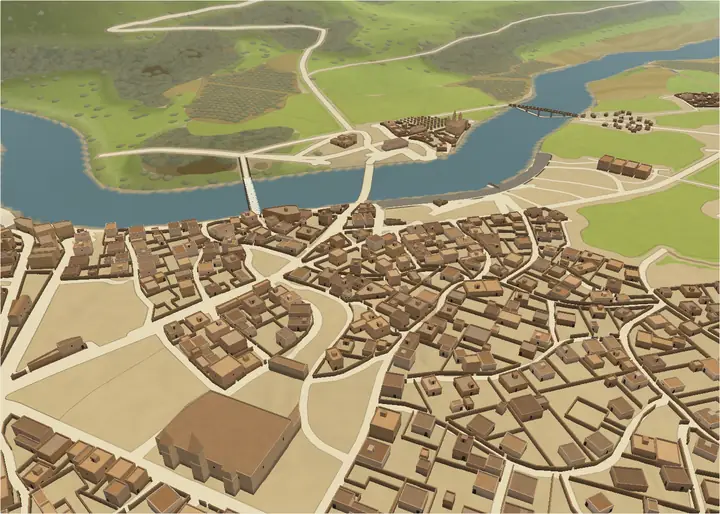
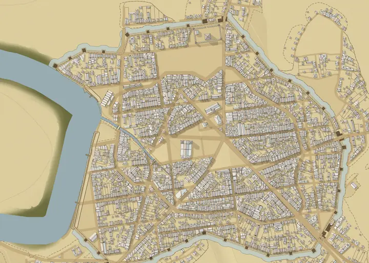
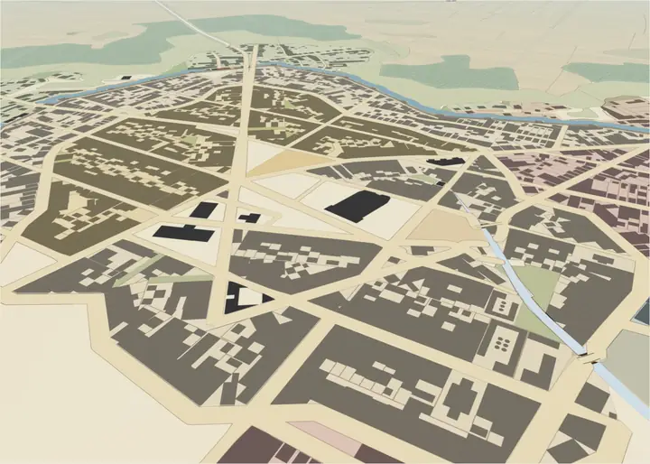
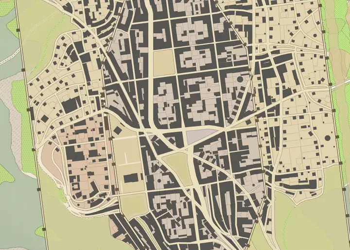
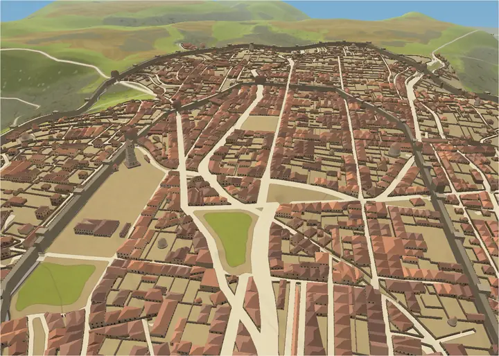
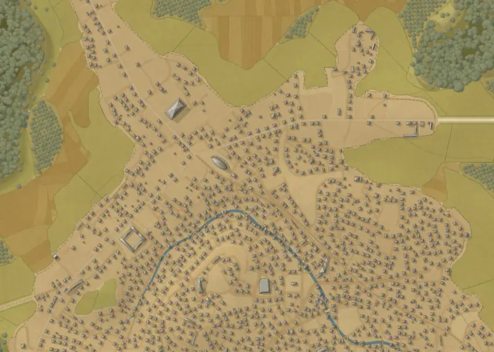
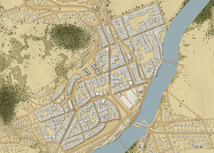
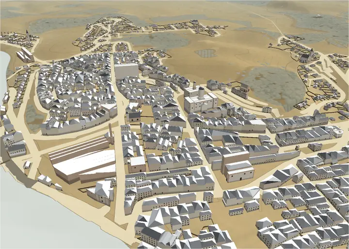
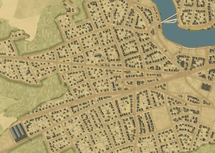
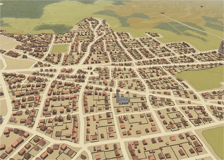
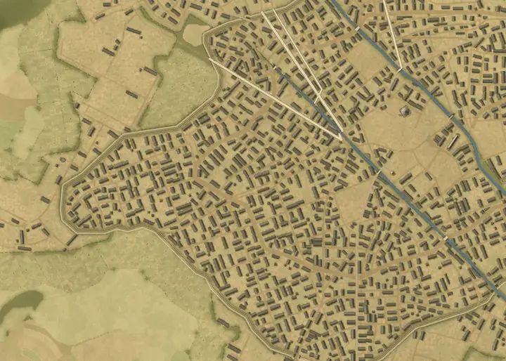
Bastide (planned grid): top view of a generated townBastide (planned grid): three-dimensional view of a generated town

Bastide (planned grid)

bastideHistorical

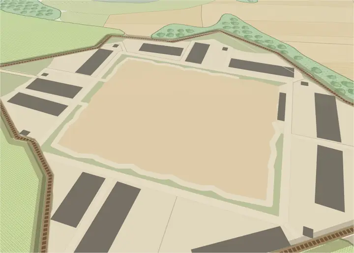
A planned town of the Middle Ages: a regular grid of rectangular blocks around an arcaded market square, a wall, and stone row houses with arcades.

Plan
grid
Enclosure
rectangular
Storeys
2–3
Roof
gable
10 m · 6–9×20–302–3 ×
Numbers and details
ZonePeople per haFrontage (m)Plot depth (m)Coverage
Core1506–920–3085–92%
Suburb557–1330–6064–74%
Village3518–4040–8012–30%

Home plans

  • bar
  • L-shape
  • T-shape
  • cross
  • courtyard
  • H-shape
Nucleus
market
Fortification
chosen by town size
Pitch
38°
Wall material
stone
Farm types
longere masseria l-yard
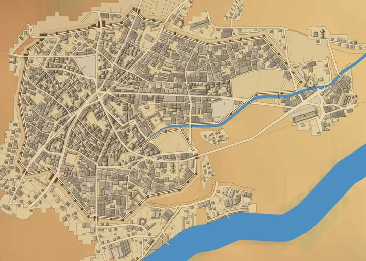
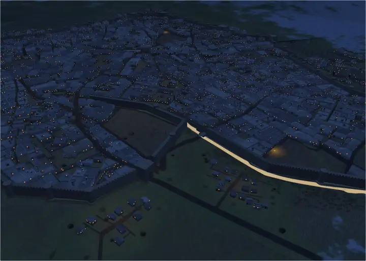
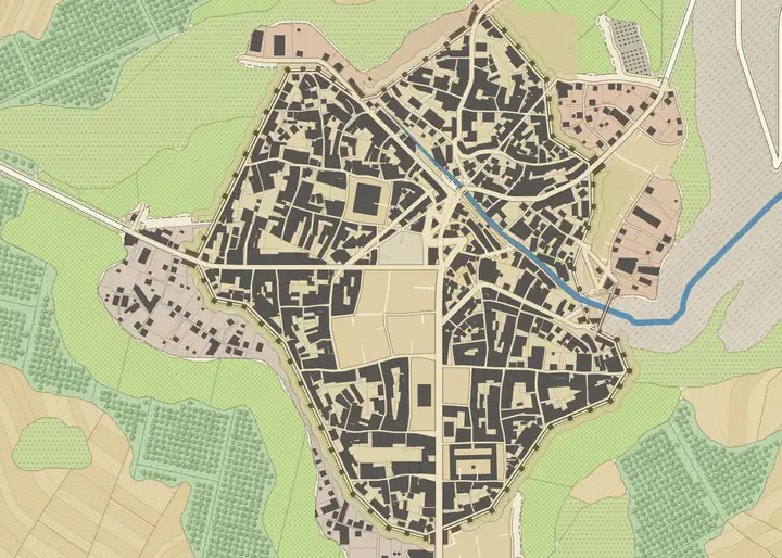
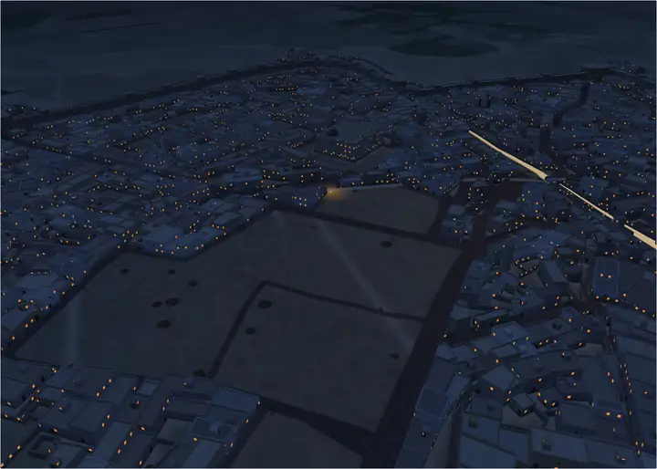
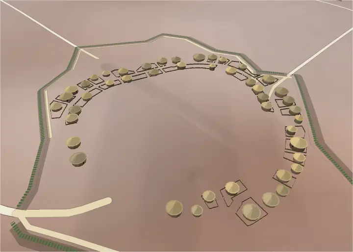
Roman castrum core: top view of a generated townRoman castrum core: three-dimensional view of a generated town

Roman castrum core

roman-coreHistorical

The core of a Roman colony: a castrum grid with a forum at the crossing of cardo and decumanus, a wall with gates, brick domus and insulae.

Plan
grid
Enclosure
rounded rectangle
Storeys
1–2
Roof
hip
10 m · 6–9×20–301–2 ×
Numbers and details
ZonePeople per haFrontage (m)Plot depth (m)Coverage
Core1606–920–3082–92%
Middle ring1206.5–1130–5078–86%
Suburb557–1330–6064–74%
Village3518–4040–8012–30%

Home plans

  • bar
  • L-shape
  • cross
  • T-shape
  • courtyard
  • H-shape
Nucleus
forum
Fortification
wall
Pitch
30°
Wall material
brick
Farm types
villa-rustica masseria l-yard
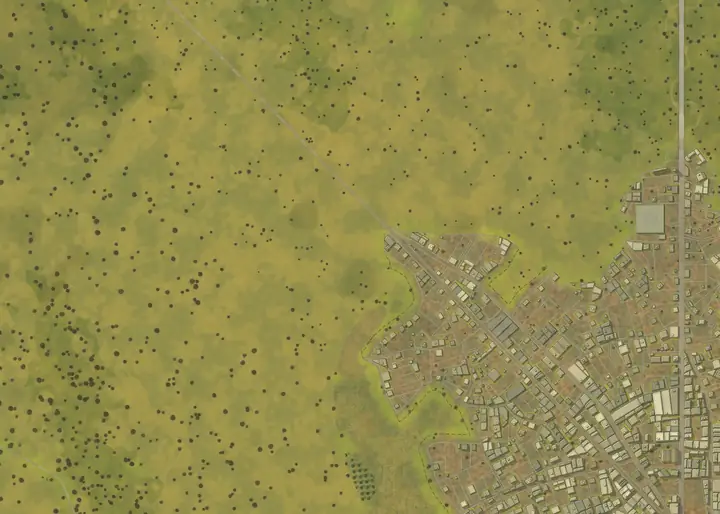
Russian kremlin and posad: top view of a generated townRussian kremlin and posad: three-dimensional view of a generated town

Russian kremlin and posad

russian-kremlinHistorical

A kremlin on its hill with the posad (trading quarter) around it: organic streets, a palisade and log izba houses under gabled roofs.

Plan
organic
Enclosure
irregular
Storeys
1–2
Roof
gable
20 m · 15–22×32–481–2 ×
Numbers and details
ZonePeople per haFrontage (m)Plot depth (m)Coverage
Core7515–2232–4830–42%
Middle ring5816–2636–5626–36%
Suburb3618–3040–6418–28%
Village2620–3645–8012–22%

Home plans

  • bar
  • L-shape
  • T-shape
  • cross
Nucleus
market
Fortification
palisade
Pitch
38°
Wall material
wood
Farm types
dvor haufenhof u-yard
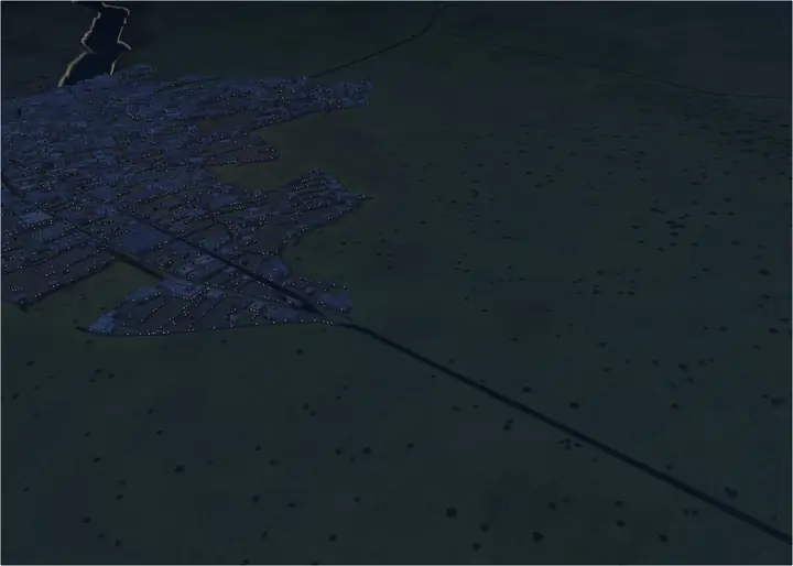
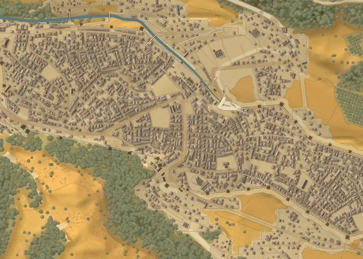
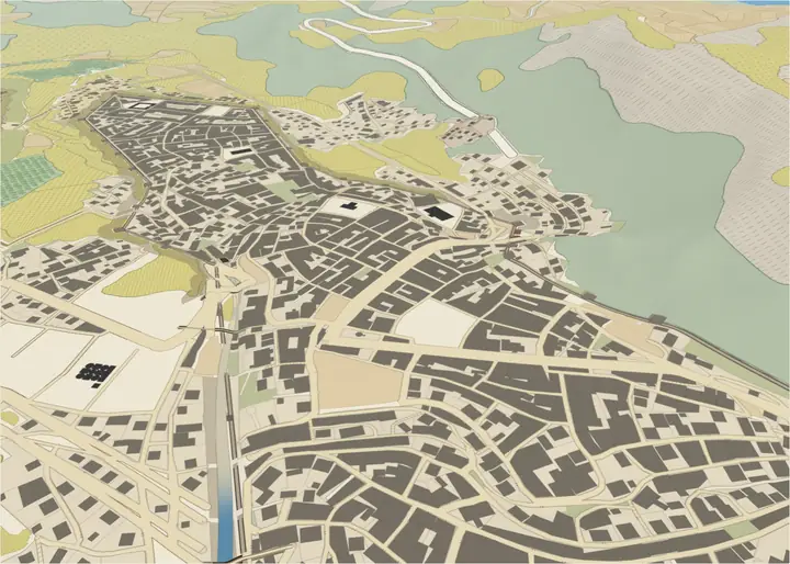
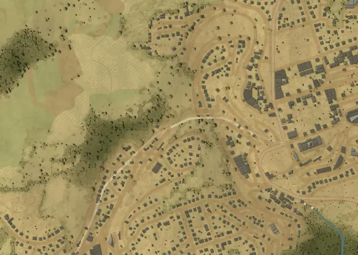
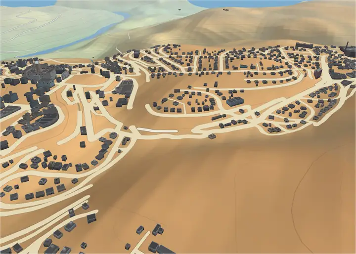
Byzantine hill town (Mystras): top view of a generated townByzantine hill town (Mystras): three-dimensional view of a generated town
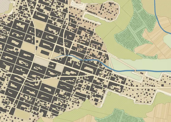
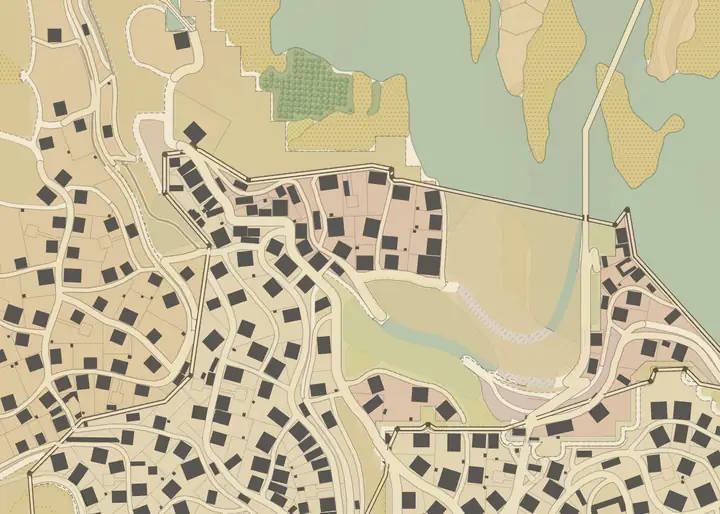
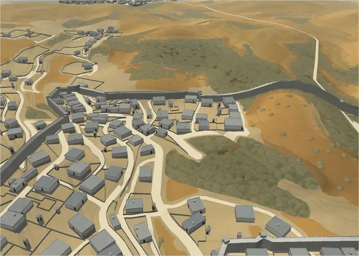
Byzantine hill town (Mystras)

byzantine-greekHistorical

A hill town in terraces on the slope (Mystras): stepped streets, stone houses of one to three storeys under tiled roofs, an organic wall.

Plan
terraced
Enclosure
irregular
Storeys
1–3
Roof
hip
5 m · 5–8×10–181–3 ×
Numbers and details
ZonePeople per haFrontage (m)Plot depth (m)Coverage
Core2005–810–1882–92%
Middle ring1505.5–912–2270–82%
Suburb707–1214–2845–58%
Village4012–2622–4018–32%

Home plans

  • bar
  • L-shape
  • T-shape
  • cross
  • courtyard
  • H-shape
Nucleus
market
Fortification
chosen by town size
Pitch
30°
Wall material
stone
Farm types
masseria tower-farm l-yard
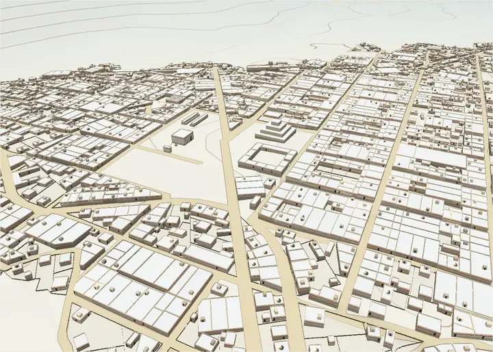
Venetian lagoon town: top view of a generated townVenetian lagoon town: three-dimensional view of a generated town

Venetian lagoon town

venetian-lagoonHistorical

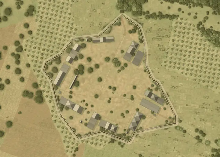
A lagoon town of tall brick houses (three to four storeys) on narrow plots, a market at its centre, no wall: the water is the defence.

Plan
organic
Enclosure
irregular
Storeys
3–4
Roof
hip
10 m · 5–8×16–283–4 ×
Numbers and details
ZonePeople per haFrontage (m)Plot depth (m)Coverage
Core2305–816–2888–95%
Middle ring1805.5–918–3280–90%
Suburb807–1220–3655–68%
Village4014–2828–5020–35%

Home plans

  • bar
  • L-shape
  • cross
  • T-shape
  • courtyard
  • H-shape
Nucleus
market
Fortification
none
Pitch
30°
Wall material
brick
Farm types
cascina masseria l-yard
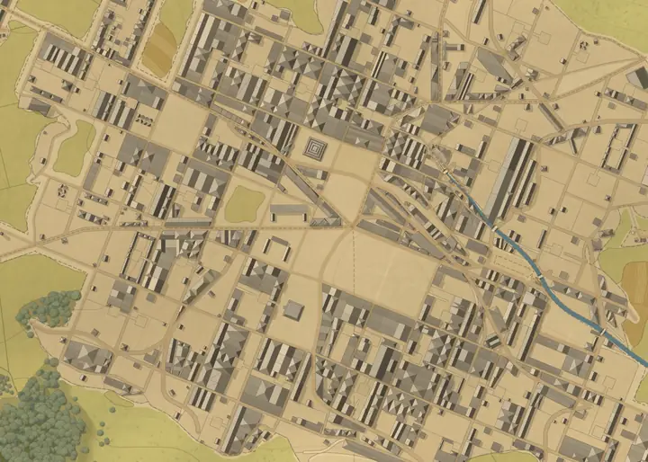
Hanseatic port (Lubeck): top view of a generated townHanseatic port (Lubeck): three-dimensional view of a generated town

Hanseatic port (Lubeck)

hanseaticHistorical

A Hanseatic port (Lübeck): a grid of streets bounded by a wall, tall brick gable houses of three to five storeys (Giebelhäuser) with deep merchant plots.

Plan
grid
Enclosure
irregular
Storeys
3–5
Roof
gable
10 m · 5.5–8×28–403–5 ×
Numbers and details
ZonePeople per haFrontage (m)Plot depth (m)Coverage
Core1905.5–828–4082–92%
Middle ring1606–8.528–4274–85%
Suburb557–1330–6064–74%
Village3516–3236–6015–30%

Home plans

  • bar
  • L-shape
  • cross
  • T-shape
  • courtyard
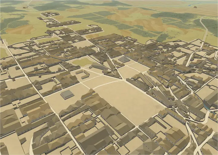
  • H-shape
Nucleus
market
Fortification
chosen by town size
Pitch
38°
Wall material
brick
Farm types
einhaus vierkanthof haufenhof
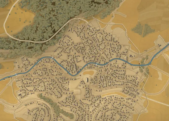
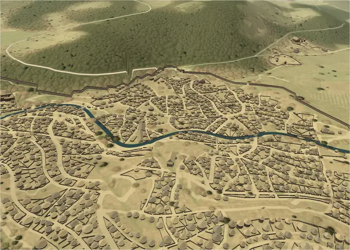
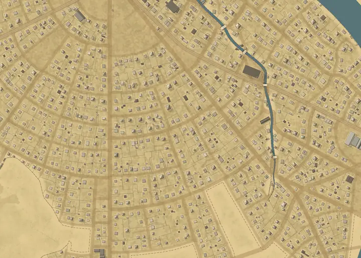
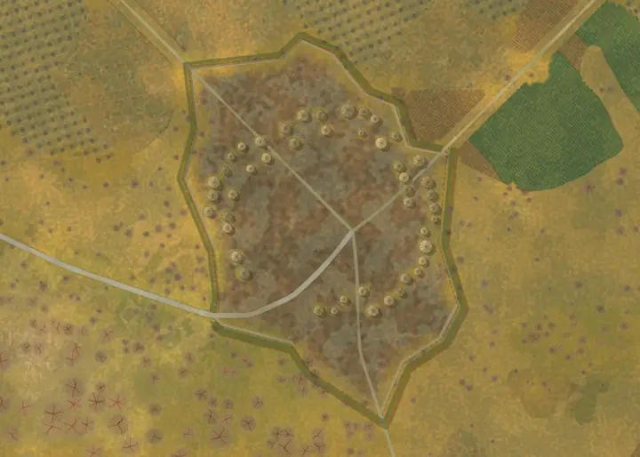
Barbarian: Celtic ringfort: top view of a generated townBarbarian: Celtic ringfort: three-dimensional view of a generated town

Barbarian: Celtic ringfort

barbarian-celticHistorical

A Celtic ringfort: round thatched wattle houses in concentric rings behind a palisade.

Plan
radial
Enclosure
circular
Storeys
1
Roof
cone
10 m · 5.5–9×24–421 ×
Numbers and details
ZonePeople per haFrontage (m)Plot depth (m)Coverage
Core705.5–924–4290–96%
Middle ring7612–1918–3040–64%
Suburb42.7512–1918–3032–56%
Village7018–4040–8012–30%

Home plans

  • bar
  • L-shape
  • cross
  • T-shape
  • courtyard
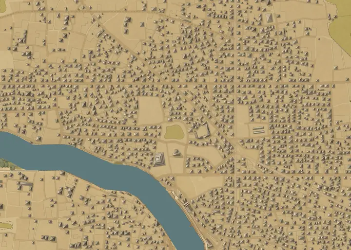
  • H-shape
Nucleus
none
Fortification
palisade
Pitch
55°
Wall material
wattle
Farm types
roundhouse haufenhof
Barbarian: Norse farmstead cluster: top view of a generated townBarbarian: Norse farmstead cluster: three-dimensional view of a generated town

Barbarian: Norse farmstead cluster

barbarian-norseHistorical

A cluster of Norse farmsteads: turf-roofed longhouses scattered around a common area, no wall.

Plan
dispersed
Enclosure
circular
Storeys
1
Roof
gable
10 m · 5.5–9×24–421 ×
Numbers and details
ZonePeople per haFrontage (m)Plot depth (m)Coverage
Core255.5–924–4290–96%
Middle ring809–1520–3440–64%
Suburb459–1520–3432–56%
Village2518–4040–8012–30%

Home plans

  • bar
  • L-shape
  • cross
  • T-shape
  • courtyard
  • H-shape
Nucleus
none
Fortification
none
Pitch
38°
Wall material
turf
Farm types
norse-longhouse haufenhof
Norse ring fortress (Trelleborg): top view of a generated townNorse ring fortress (Trelleborg): three-dimensional view of a generated town
Norse ring fortress (Trelleborg)

norse-ringfortHistorical

A Norse ring fortress (Trelleborg): a circular palisade, radial streets and long timber houses with gabled roofs.

Plan
radial
Enclosure
circular
Storeys
1
Roof
gable
10 m · 5.5–9×24–421 ×
Numbers and details
ZonePeople per haFrontage (m)Plot depth (m)Coverage
Core605.5–924–4290–96%
Middle ring8410–1620–3440–64%
Suburb47.2510–1620–3432–56%
Village6018–4040–8012–30%

Home plans

  • bar
  • L-shape
  • cross
  • T-shape
  • courtyard
  • H-shape
Nucleus
none
Fortification
palisade
Pitch
38°
Wall material
timber
Farm types
norse-longhouse haufenhof
Celtic oppidum: top view of a generated townCeltic oppidum: three-dimensional view of a generated town

Celtic oppidum

celtic-oppidumHistorical

A Celtic oppidum: an organic layout inside a long defensive wall, round thatched wattle houses.

Plan
organic
Enclosure
irregular
Storeys
1
Roof
cone
10 m · 5.5–9×24–421 ×
Numbers and details
ZonePeople per haFrontage (m)Plot depth (m)Coverage
Core455.5–924–4290–96%
Middle ring8012–1818–3040–64%
Suburb4512–1818–3032–56%
Village4518–4040–8012–30%

Home plans

  • bar
  • L-shape
  • cross
  • T-shape
  • courtyard
  • H-shape
Nucleus
none
Fortification
wall
Pitch
55°
Wall material
wattle
Farm types
roundhouse haufenhof
Italy: commune with piazza and towers: top view of a generated townItaly: commune with piazza and towers: three-dimensional view of a generated town

Italy: commune with piazza and towers

italian-comuneHistorical

A civic piazza at the heart, successive rings of walls (cerchie), massive blocks of narrow arcaded houses; borghi along the roads outside the gates.

Plan
organic
Enclosure
irregular
Storeys
3–5
Roof
hip
10 m · 7.5–10×17–283–5 ×
Numbers and details
ZonePeople per haFrontage (m)Plot depth (m)Coverage
Core3647.5–1017–2888–96%
Middle ring2528–1120–3478–88%
Suburb848–1224–4450–65%
Village4914–3030–6015–30%

Home plans

  • bar
  • L-shape
  • courtyard
  • T-shape
  • cross
Nucleus
market
Fortification
wall
Pitch
22°
Wall material
brick
Roof cover
tile
Farm types
cascina masseria l-yard
Flanders: cloth town with a belfry: top view of a generated townFlanders: cloth town with a belfry: three-dimensional view of a generated town

Flanders: cloth town with a belfry

flemish-cloth-townHistorical

A Grand-Place and the belfry of the cloth hall, canals (reien) and successive walls; gabled street houses and deep plots for dyers and fullers.

Plan
organic
Enclosure
irregular
Storeys
3–4
Roof
gable
10 m · 6–8×26–443–4 ×
Numbers and details
ZonePeople per haFrontage (m)Plot depth (m)Coverage
Core2106–826–4485–94%
Middle ring1606.2–930–5074–86%
Suburb607–1230–5645–60%
Village3516–3240–7015–30%

Home plans

  • bar
  • L-shape
  • cross
  • T-shape
  • courtyard
  • H-shape
Nucleus
clock tower
Fortification
wall
Pitch
52°
Wall material
brick
Roof cover
tile
Farm types
einhaus longere vierkanthof
Central Europe: rynek town: top view of a generated townCentral Europe: rynek town: three-dimensional view of a generated town

Central Europe: rynek town

rynek-townHistorical

A founded town (Magdeburg law): a large square market with a hall and town hall, a checkerboard of streets, deep burgher plots; suburbs along the roads.

Plan
grid
Enclosure
oval
Storeys
2–4
Roof
gable
10 m · 7–10×28–402–4 ×
Numbers and details
ZonePeople per haFrontage (m)Plot depth (m)Coverage
Core1707–1028–4082–92%
Middle ring1407.5–1130–4470–82%
Suburb558–1432–5640–55%
Village3518–4040–8012–30%

Home plans

  • bar
  • L-shape
  • cross
  • T-shape
  • courtyard
  • H-shape
Nucleus
market
Fortification
wall
Pitch
45°
Wall material
brick
Roof cover
tile
Farm types
dvor vierkanthof u-yard
Slavs: palisaded gord and podgrodzie: top view of a generated townSlavs: palisaded gord and podgrodzie: three-dimensional view of a generated town

Slavs: palisaded gord and podgrodzie

slavic-gordHistorical

A wood-and-earth gord on the height, a craft podgrodzie at its foot, streets paved with logs and large courtyards of log houses.

Plan
radial
Enclosure
oval
Storeys
1–2
Roof
gable
10 m · 12–18×26–401–2 ×
Numbers and details
ZonePeople per haFrontage (m)Plot depth (m)Coverage
Core8012–1826–4032–45%
Middle ring6014–2230–5026–38%
Suburb3516–2836–6016–26%
Village2520–3645–8010–20%

Home plans

  • bar
  • L-shape
  • T-shape
Nucleus
castle
Fortification
palisade
Pitch
42°
Wall material
wood
Roof cover
thatch
Farm types
dvor haufenhof u-yard
Caucasus: Georgian and Armenian fortified town: top view of a generated townCaucasus: Georgian and Armenian fortified town: three-dimensional view of a generated town

Caucasus: Georgian and Armenian fortified town

caucasian-highlandHistorical

A church in a fortified enclosure at the summit, tight stone houses in terraces, alleys and stairs following the contours.

Plan
terraced
Enclosure
irregular
Storeys
2–3
Roof
flat
5 m · 6–10×12–202–3 ×
Numbers and details
ZonePeople per haFrontage (m)Plot depth (m)Coverage
Core1956–1012–2075–88%
Middle ring1506.5–1114–2462–78%
Suburb697–1216–3040–55%
Village4012–2422–4018–32%

Home plans

  • bar
  • L-shape
  • courtyard
  • T-shape
Nucleus
sacred precinct
Fortification
wall
Wall material
stone
Roof cover
earth
Farm types
tower-farm kancha

Africa

12
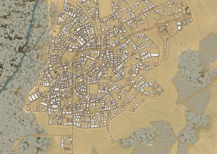
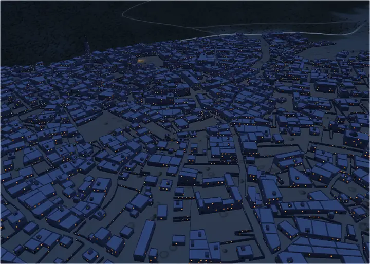
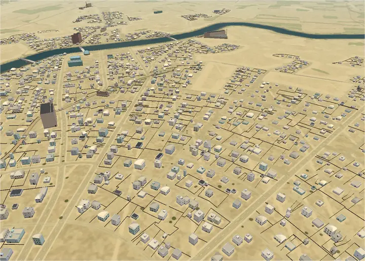
Medina (North Africa): top view of a generated townMedina (North Africa): three-dimensional view of a generated town

Medina (North Africa)

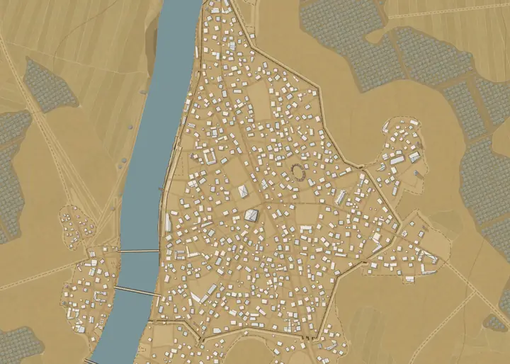
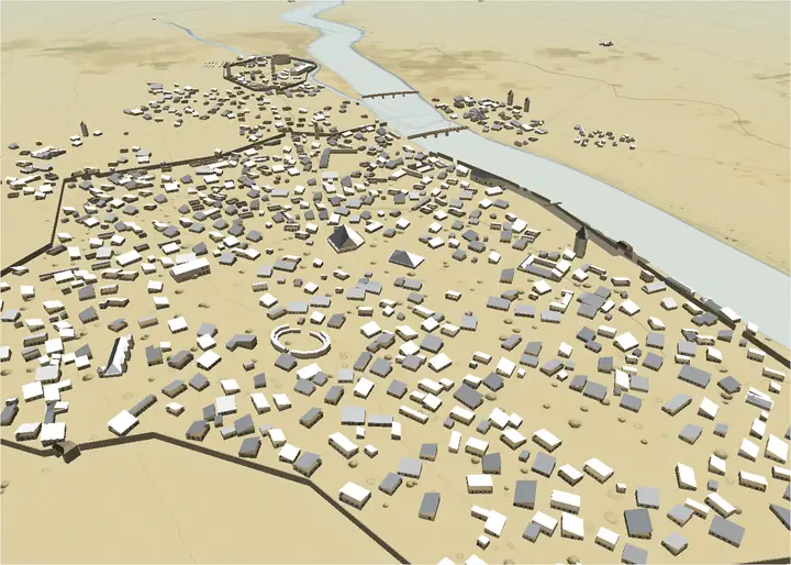
medinaHistorical

A walled Maghrebi town: a dense maze of covered lanes and dead ends around the great mosque and the souk, flat-roofed courtyard houses of mud and plaster.

Plan
organic
Enclosure
irregular
Storeys
1
Roof
flat
5 m · 4.6–6×5–81 ×
Numbers and details
ZonePeople per haFrontage (m)Plot depth (m)Coverage
Core3304.6–65–893–98%
Middle ring2506.5–1130–5088–95%
Suburb907–1330–6060–75%
Village6018–4040–8050–70%

Home plans

  • bar
  • L-shape
  • courtyard
  • T-shape
Nucleus
mosque
Fortification
wall
Wall material
mud
Farm types
ksar masseria
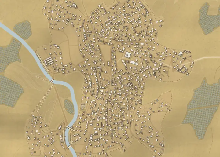
Sahelian mud town (Djenne): top view of a generated townSahelian mud town (Djenne): three-dimensional view of a generated town

Sahelian mud town (Djenne)

sahelHistorical

A Sahelian mud town (Djenné): a great mud-brick mosque at its centre, flat-roofed Sudano-Sahelian houses of one or two storeys, irregular lanes.

Plan
organic
Enclosure
irregular
Storeys
1–2
Roof
flat
10 m · 5.5–9×24–421–2 ×
Numbers and details
ZonePeople per haFrontage (m)Plot depth (m)Coverage
Core2405.5–924–4284–92%
Middle ring16012–1816–2650–62%
Suburb7014–2218–3032–45%
Village4516–2820–3425–40%

Home plans

  • bar
  • L-shape
  • courtyard
  • T-shape
Nucleus
mud-brick mosque
Fortification
none
Wall material
mud
Farm types
sahel-compound
Kraal (African homestead): top view of a generated townKraal (African homestead): three-dimensional view of a generated town

Kraal (African homestead)

kraalHistorical

An African kraal: beehive thatched huts arranged radially around a central cattle pen.

Plan
radial
Enclosure
circular
Storeys
1
Roof
cone
10 m · 5.5–9×24–421 ×
Numbers and details
ZonePeople per haFrontage (m)Plot depth (m)Coverage
Core2005.5–924–4290–96%
Middle ring7213–2018–3040–64%
Suburb40.513–2018–3032–56%
Village20018–4040–8012–30%

Home plans

  • bar
  • L-shape
  • cross
  • T-shape
  • courtyard
  • H-shape
Nucleus
none
Fortification
none
Pitch
55°
Wall material
thatch
Farm types
kraal
Swahili stone town (Lamu / Zanzibar): top view of a generated townSwahili stone town (Lamu / Zanzibar): three-dimensional view of a generated town

Swahili stone town (Lamu / Zanzibar)

swahili-stone-townHistorical

A Swahili stone town (Lamu, Zanzibar): flat-roofed coral-stone houses of two to three storeys on organic lanes, a mosque at the centre.

Plan
organic
Enclosure
irregular
Storeys
2–3
Roof
flat
10 m · 5.5–9×24–422–3 ×
Numbers and details
ZonePeople per haFrontage (m)Plot depth (m)Coverage
Core2805.5–924–4282–90%
Middle ring2306.5–1130–5078–87%
Suburb807–1330–6056–70%
Village5518–4040–8050–66%

Home plans

  • bar
  • L-shape
  • courtyard
  • T-shape
Nucleus
mosque
Fortification
none
Wall material
coral-stone
Farm types
shamba masseria l-yard
Egypt: planned Nile city: top view of a generated townEgypt: planned Nile city: three-dimensional view of a generated town

Egypt: planned Nile city

egyptian-plannedHistorical

Compact rectilinear quarters oriented on the valley; sacred complexes remain reserves, with no temple generation.

Plan
grid
Enclosure
rectangular
Storeys
1–2
Roof
flat
10 m · 5–9×17–281–2 ×
Numbers and details
ZonePeople per haFrontage (m)Plot depth (m)Coverage
Core1605–917–2882–92%
Middle ring1506–1018–3280–90%
Suburb5512–2228–5038–52%
Village3512–2228–5012–30%

Home plans

  • bar
  • L-shape
  • courtyard
  • T-shape
Nucleus
none
Fortification
none
Wall material
earth
Roof cover
earth
Farm types
izbah ksar masseria
Nubia: fortified town: top view of a generated townNubia: fortified town: three-dimensional view of a generated town

Nubia: fortified town

nubian-fortifiedHistorical

Brick blocks within a compact wall, tied to the banks of the Nile.

Plan
grid
Enclosure
rounded rectangle
Storeys
1–2
Roof
dome
10 m · 6–9×20–301–2 ×
Numbers and details
ZonePeople per haFrontage (m)Plot depth (m)Coverage
Core1606–920–3082–92%
Middle ring1506–920–3280–90%
Suburb557–1330–6038–52%
Village3518–4040–8012–30%

Home plans

  • bar
  • L-shape
  • cross
  • T-shape
  • courtyard
  • H-shape
Nucleus
none
Fortification
wall
Wall material
earth
Roof cover
earth
Farm types
izbah sahel-compound
Maghreb: oasis ksar: top view of a generated townMaghreb: oasis ksar: three-dimensional view of a generated town

Maghreb: oasis ksar

ksar-oasisHistorical

A very compact core with defensive approaches and alleys; distinct from the kasbah and from the urban medina.

Plan
organic
Enclosure
rounded rectangle
Storeys
2–3
Roof
flat
5 m · 4.6–6×5–82–3 ×
Numbers and details
ZonePeople per haFrontage (m)Plot depth (m)Coverage
Core3304.6–65–893–98%
Middle ring2504.6–6.55–990–97%
Suburb907–1330–6060–75%
Village6018–4040–8050–70%

Home plans

  • bar
  • L-shape
  • courtyard
  • T-shape
Nucleus
none
Fortification
wall
Wall material
earth
Roof cover
earth
Farm types
ksar masseria
Yoruba: compound city: top view of a generated townYoruba: compound city: three-dimensional view of a generated town

Yoruba: compound city

yorubaHistorical

Large lineage enclosures, quarters and market axes; no copy of the late palaces of Abomey.

Plan
organic
Enclosure
irregular
Storeys
1
Roof
hip
20 m · 20–38×24–421 ×
Numbers and details
ZonePeople per haFrontage (m)Plot depth (m)Coverage
Core24020–3824–4235–60%
Middle ring19025–4630–5025–50%
Suburb8040–7530–6012–30%
Village5040–7540–8012–30%

Home plans

  • bar
  • L-shape
  • T-shape
Nucleus
none
Fortification
chosen by town size
Pitch
40°
Wall material
earth
Roof cover
thatch
Farm types
agbo-ile sahel-compound
Al-Andalus: Iberian medina with courtyards: top view of a generated townAl-Andalus: Iberian medina with courtyards: three-dimensional view of a generated town

Al-Andalus: Iberian medina with courtyards

al-andalusHistorical

A souk and great mosque at the centre, courtyard houses served by dead-end adarves, arrabales outside the walls and landscaped cármenes at the edge.

Plan
organic
Enclosure
irregular
Storeys
1–2
Roof
hip
5 m · 4.8–7×7–121–2 ×
Numbers and details
ZonePeople per haFrontage (m)Plot depth (m)Coverage
Core3004.8–77–1290–97%
Middle ring2207–1214–2480–90%
Suburb808–1418–3455–70%
Village4514–3024–5035–55%

Home plans

  • bar
  • L-shape
  • courtyard
  • T-shape
  • cross
Nucleus
mosque
Fortification
wall
Pitch
24°
Wall material
plaster
Roof cover
tile
Farm types
cortijo ksar masseria
Ethiopia: highland city (Aksum, Lalibela): top view of a generated townEthiopia: highland city (Aksum, Lalibela): three-dimensional view of a generated town

Ethiopia: highland city (Aksum, Lalibela)

ethiopian-highlandHistorical

A circular church enclosure on the height, family compounds of round houses surrounded by hedges, curving paths; stelae and rock-hewn churches remain reserves.

Plan
organic
Enclosure
irregular
Storeys
1
Roof
cone
10 m · 12–20×18–301 ×
Numbers and details
ZonePeople per haFrontage (m)Plot depth (m)Coverage
Core13012–2018–3025–40%
Middle ring10515–2622–3618–32%
Suburb5018–3226–4410–22%
Village3020–4030–608–18%

Home plans

  • bar
  • L-shape
  • T-shape
Nucleus
sacred precinct
Fortification
none
Pitch
38°
Wall material
wood
Roof cover
thatch
Farm types
tukul sahel-compound
Zimbabwe: dry-stone enclosure: top view of a generated townZimbabwe: dry-stone enclosure: three-dimensional view of a generated town

Zimbabwe: dry-stone enclosure

great-zimbabweHistorical

A great royal dry-stone enclosure at the centre, compounds of daga huts ringed by curving low walls, settlement loosening towards the valley.

Plan
organic
Enclosure
oval
Storeys
1
Roof
cone
20 m · 28–38×30–421 ×
Numbers and details
ZonePeople per haFrontage (m)Plot depth (m)Coverage
Core6028–3830–4222–36%
Middle ring4530–4232–4618–30%
Suburb2532–4634–5012–22%
Village2034–5036–5610–20%

Home plans

  • bar
  • L-shape
  • T-shape
Nucleus
royal enclosure
Fortification
none
Pitch
38°
Wall material
wood
Roof cover
thatch
Farm types
dhaka-homestead kraal
Hausa: city-state within an earth wall (Kano): top view of a generated townHausa: city-state within an earth wall (Kano): three-dimensional view of a generated town

Hausa: city-state within an earth wall (Kano)

hausa-kanoHistorical

A great mosque, the emir’s palace and the Kurmi market at the centre; courtyard compounds behind a vestibule (zaure), dead-end alleys, a vast earth wall enclosing fields and ponds.

Plan
organic
Enclosure
irregular
Storeys
1–2
Roof
flat
20 m · 19–26×20–301–2 ×
Numbers and details
ZonePeople per haFrontage (m)Plot depth (m)Coverage
Core14019–2620–3045–62%
Middle ring11019–2820–3238–55%
Suburb5020–3222–3625–40%
Village3522–4026–4420–35%

Home plans

  • bar
  • L-shape
  • courtyard
  • T-shape
Nucleus
mosque
Fortification
wall
Wall material
earth
Roof cover
earth
Farm types
sahel-compound

Middle East and South Asia

12
Indian temple town: top view of a generated townIndian temple town: three-dimensional view of a generated town

Indian temple town

indian-templeHistorical

A temple town on a square grid: the temple precinct sits at the centre, with long rows of narrow brick houses around courtyards (mutram).

Plan
grid
Enclosure
square
Storeys
1–2
Roof
hip
10 m · 5–8×18–261–2 ×
Numbers and details
ZonePeople per haFrontage (m)Plot depth (m)Coverage
Core1905–818–2680–90%
Middle ring1606–920–2872–82%
Suburb557–1330–6038–52%
Village3518–4040–8012–30%

Home plans

  • bar
  • L-shape
  • cross
  • T-shape
  • courtyard
  • H-shape
Nucleus
temple
Fortification
none
Pitch
30°
Wall material
brick
Farm types
indian-court thinnai
Persian city (Isfahan): top view of a generated townPersian city (Isfahan): three-dimensional view of a generated town

Persian city (Isfahan)

persianHistorical

A Persian city around a great maidan (square), with bazaar shops under brick domes and vaulted passages, protected by a wall.

Plan
organic
Enclosure
irregular
Storeys
1
Roof
dome
5 m · 4.6–6×5–81 ×
Numbers and details
ZonePeople per haFrontage (m)Plot depth (m)Coverage
Core3304.6–65–893–98%
Middle ring2006.5–1130–5082–90%
Suburb807–1330–6060–72%
Village5018–4040–8050–65%

Home plans

  • bar
  • L-shape
  • cross
  • T-shape
  • courtyard
  • H-shape
Nucleus
maidan
Fortification
wall
Pitch
90°
Wall material
brick
Farm types
bustan ksar masseria
Ottoman town (Bursa): top view of a generated townOttoman town (Bursa): three-dimensional view of a generated town

Ottoman town (Bursa)

ottomanHistorical

An Ottoman town: organic streets around the market (çarşı), dukkan shops and timber houses under tiled hip roofs, no town wall.

Plan
organic
Enclosure
irregular
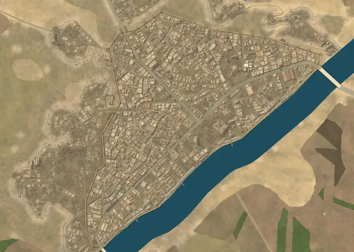
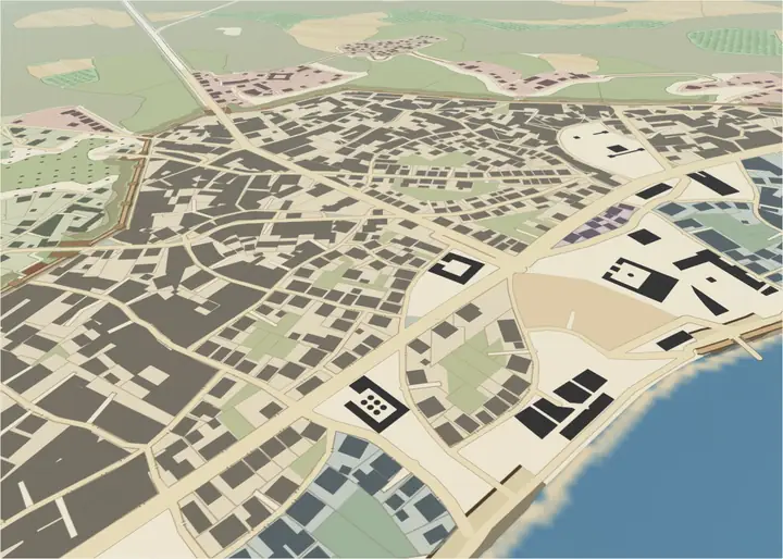
Storeys
1–2
Roof
hip
5 m · 4.6–6×5–81–2 ×
Numbers and details
ZonePeople per haFrontage (m)Plot depth (m)Coverage
Core3304.6–65–893–98%
Middle ring1109–1522–3645–58%
Suburb5510–1824–4232–45%
Village3216–3230–5515–30%

Home plans

  • bar
  • L-shape
  • courtyard
  • T-shape
Nucleus
market
Fortification
none
Pitch
30°
Wall material
wood
Farm types
u-yard masseria ksar
Mesopotamia: courtyard quarters: top view of a generated townMesopotamia: courtyard quarters: three-dimensional view of a generated town

Mesopotamia: courtyard quarters

mesopotamianHistorical

Massive courtyard blocks, market streets and alleys; canals and temples are not synthesised by this recipe.

Plan
organic
Enclosure
irregular
Storeys
1–2
Roof
flat
5 m · 4.6–6×5–81–2 ×
Numbers and details
ZonePeople per haFrontage (m)Plot depth (m)Coverage
Core3304.6–65–893–98%
Middle ring2504.6–6.55–990–97%
Suburb907–1330–6060–75%
Village6018–4040–8050–70%

Home plans

  • bar
  • L-shape
  • courtyard
  • T-shape
Nucleus
none
Fortification
wall
Wall material
earth
Roof cover
earth
Farm types
izbah ksar masseria
Levant: fortified tell town: top view of a generated townLevant: fortified tell town: three-dimensional view of a generated town

Levant: fortified tell town

levantine-tellHistorical

Slope streets and walls adapted to the relief; the existing tell belongs to the scenery.

Plan
terraced
Enclosure
irregular
Storeys
1–2
Roof
flat
5 m · 5–8×10–181–2 ×
Numbers and details
ZonePeople per haFrontage (m)Plot depth (m)Coverage
Core2005–810–1882–92%
Middle ring1505.5–912–2270–82%
Suburb707–1214–2845–58%
Village4012–2622–4018–32%

Home plans

  • bar
  • L-shape
  • courtyard
  • T-shape
Nucleus
none
Fortification
wall
Wall material
earth
Roof cover
earth
Farm types
izbah masseria l-yard
Tibet and Ladakh: terraced settlement: top view of a generated townTibet and Ladakh: terraced settlement: three-dimensional view of a generated town

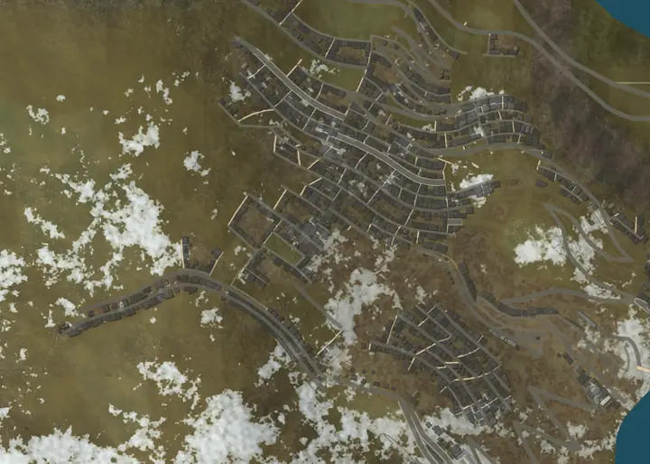
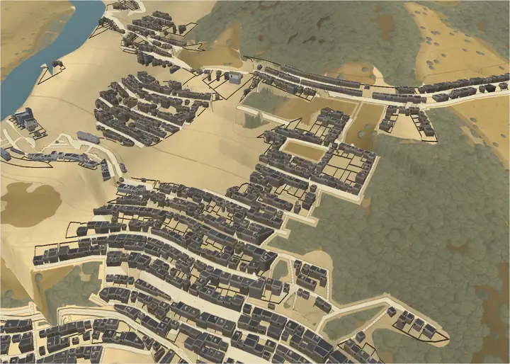
Tibet and Ladakh: terraced settlement

himalayan-terracesHistorical

Alleys following the contours, compact blocks and stairs; no automatic late dzong.

Plan
terraced
Enclosure
terraced
Storeys
2–3
Roof
flat
5 m · 5–8×10–182–3 ×
Numbers and details
ZonePeople per haFrontage (m)Plot depth (m)Coverage
Core2005–810–1882–92%
Middle ring1505.5–912–2270–82%
Suburb707–1214–2845–58%
Village4012–2622–4018–32%

Home plans

  • bar
  • L-shape
  • courtyard
  • T-shape
Nucleus
none
Fortification
none
Wall material
stone
Roof cover
earth
Farm types
kancha tower-farm
Newar Nepal: city of ritual squares: top view of a generated townNewar Nepal: city of ritual squares: three-dimensional view of a generated town

Newar Nepal: city of ritual squares

newarHistorical

Dense blocks around courtyards and ritual squares; palace pavilions are not generated here.

Plan
organic
Enclosure
irregular
Storeys
3–4
Roof
hip
10 m · 5.5–9×24–423–4 ×
Numbers and details
ZonePeople per haFrontage (m)Plot depth (m)Coverage
Core1855.5–924–4290–96%
Middle ring1206.5–1130–5078–86%
Suburb557–1330–6064–74%
Village3518–4040–8012–30%

Home plans

  • bar
  • L-shape
  • cross
  • T-shape
  • courtyard
  • H-shape
Nucleus
none
Fortification
none
Pitch
30°
Wall material
brick
Roof cover
tile
Farm types
newar-farm indian-court
Indus: Harappan city: top view of a generated townIndus: Harappan city: three-dimensional view of a generated town

Indus: Harappan city

indus-plannedHistorical

A hierarchical grid, blocks of courtyard houses and lanes; drainage networks are not yet produced.

Plan
grid
Enclosure
rectangular
Storeys
1–2
Roof
flat
10 m · 6–9×20–301–2 ×
Numbers and details
ZonePeople per haFrontage (m)Plot depth (m)Coverage
Core1606–920–3082–92%
Middle ring1506–920–3280–90%
Suburb557–1330–6038–52%
Village3518–4040–8012–30%

Home plans

  • bar
  • L-shape
  • courtyard
  • T-shape
Nucleus
none
Fortification
wall
Wall material
brick
Roof cover
earth
Farm types
indian-court izbah
Hadhramaut: vertical city of tower houses (Shibam): top view of a generated townHadhramaut: vertical city of tower houses (Shibam): three-dimensional view of a generated town

Hadhramaut: vertical city of tower houses (Shibam)

hadhrami-towerHistorical

A compact rectangular wall on a mound in the valley, tower houses of five to eight storeys almost touching, small squares and alleys; palm groves outside the walls.

Plan
organic
Enclosure
rectangular
Storeys
4–7
Roof
flat
5 m · 7–11×9–154–7 ×
Numbers and details
ZonePeople per haFrontage (m)Plot depth (m)Coverage
Core4507–119–1592–98%
Village4512–2618–3630–50%

Home plans

  • bar
  • L-shape
  • courtyard
  • T-shape
Nucleus
mosque
Fortification
wall
Wall material
earth
Roof cover
earth
Farm types
tower-farm ksar masseria
Rajputana: city below the fort (Jaisalmer, Amber): top view of a generated townRajputana: city below the fort (Jaisalmer, Amber): three-dimensional view of a generated town

Rajputana: city below the fort (Jaisalmer, Amber)

rajput-fortHistorical

A royal fort on the spur, a bazaar between the gates, courtyard havelis in narrow alleys; a pond (talab) and stepwells as service reserves.

Plan
organic
Enclosure
irregular
Storeys
1–3
Roof
flat
5 m · 5–8×12–201–3 ×
Numbers and details
ZonePeople per haFrontage (m)Plot depth (m)Coverage
Core2605–812–2085–95%
Middle ring19013–2522–3278–90%
Suburb7010–2020–3450–65%
Village4016–3226–5025–40%

Home plans

  • bar
  • L-shape
  • courtyard
  • T-shape
Nucleus
castle
Fortification
wall
Wall material
stone
Roof cover
plaster
Farm types
dhani indian-court
South India: temple city with concentric streets (Madurai): top view of a generated townSouth India: temple city with concentric streets (Madurai): three-dimensional view of a generated town

South India: temple city with concentric streets (Madurai)

dravidian-templeHistorical

The temple enclosure and its gopurams at the centre, concentric square processional streets (masi, avani, chitrai), rows of narrow deep houses; a sacred tank.

Plan
grid
Enclosure
square
Storeys
1–3
Roof
flat
10 m · 5.5–8×24–401–3 ×
Numbers and details
ZonePeople per haFrontage (m)Plot depth (m)Coverage
Core2005.5–824–4080–90%
Middle ring1606–926–4272–84%
Suburb607–1330–5640–55%
Village3516–3440–8012–30%

Home plans

  • bar
  • L-shape
  • courtyard
  • T-shape
Nucleus
temple
Fortification
none
Wall material
stone
Roof cover
plaster
Farm types
thinnai indian-court
Tibet: monastic town on a slope: top view of a generated townTibet: monastic town on a slope: three-dimensional view of a generated town

Tibet: monastic town on a slope

tibetan-monasteryHistorical

A monastery and assembly hall at the top of the slope, cells and flat-roofed houses stepping down, a pilgrimage circuit (kora) around; no automatic dzong.

Plan
terraced
Enclosure
terraced
Storeys
2–4
Roof
flat
10 m · 12–17×14–212–4 ×
Numbers and details
ZonePeople per haFrontage (m)Plot depth (m)Coverage
Core30012–1714–2160–80%
Middle ring22012.5–1814–2350–70%
Suburb10013–1915–2635–50%
Village6014–2818–3620–35%

Home plans

  • bar
  • L-shape
  • courtyard
  • T-shape
Nucleus
temple
Fortification
none
Wall material
stone
Roof cover
earth
Farm types
tower-farm kancha

East and South-East Asia

7
Chinese walled city: top view of a generated townChinese walled city: three-dimensional view of a generated town

Chinese walled city

chineseHistorical

A walled city on a strict square grid with a drum tower at its centre; walled courtyard houses (siheyuan) under tiled hip roofs.

Plan
grid
Enclosure
square
Storeys
1
Roof
hip
10 m · 14–22×22–341 ×
Numbers and details
ZonePeople per haFrontage (m)Plot depth (m)Coverage
Core17014–2222–3450–62%
Middle ring16011–1720–3060–72%
Suburb5514–2222–3440–55%
Village3518–4040–8012–30%

Home plans

  • bar
  • L-shape
  • cross
  • T-shape
  • courtyard
  • H-shape
Nucleus
drum tower
Fortification
wall
Pitch
30°
Wall material
brick
Farm types
chinese-court
Japanese castle town (jōkamachi): top view of a generated townJapanese castle town (jōkamachi): three-dimensional view of a generated town

Japanese castle town (jōkamachi)

japanese-jokamachiHistorical

A castle town: the lord’s castle commands a web of organic streets, with samurai yashiki and merchant quarters packed below it, under tiled hip roofs.

Plan
organic
Enclosure
irregular
Storeys
1
Roof
hip
10 m · 5.5–9×24–421 ×
Numbers and details
ZonePeople per haFrontage (m)Plot depth (m)Coverage
Core705.5–924–4225–35%
Middle ring1804.5–7.522–3670–80%
Suburb555–8.520–3262–72%
Village3518–4040–8012–30%

Home plans

  • bar
  • L-shape
  • courtyard
  • T-shape
Nucleus
castle
Fortification
none
Pitch
30°
Wall material
wood
Farm types
minka
Korean walled town (Hanyang): top view of a generated townKorean walled town (Hanyang): three-dimensional view of a generated town

Korean walled town (Hanyang)

koreanHistorical

A walled Korean town (Hanyang): hanok houses of wood under tiled hip roofs, a market at the centre, organic streets within the wall.

Plan
organic
Enclosure
irregular
Storeys
1
Roof
hip
10 m · 14–22×20–301 ×
Numbers and details
ZonePeople per haFrontage (m)Plot depth (m)Coverage
Core15014–2220–3050–60%
Middle ring12015–2422–3245–55%
Suburb6016–2622–3432–45%
Village3520–3426–4020–35%

Home plans

  • bar
  • L-shape
  • courtyard
  • T-shape
Nucleus
market
Fortification
chosen by town size
Pitch
30°
Wall material
wood
Farm types
hanok
Khmer city (Angkor): top view of a generated townKhmer city (Angkor): three-dimensional view of a generated town

Khmer city (Angkor)

khmerHistorical

A Khmer city (Angkor): rectangular blocks bounded by a moat, houses of wood on stilts under gabled roofs, no inner wall.

Plan
grid
Enclosure
rectangular
Storeys
1
Roof
gable
10 m · 5.5–9×24–421 ×
Numbers and details
ZonePeople per haFrontage (m)Plot depth (m)Coverage
Core625.5–924–4290–96%
Village6218–4040–8012–30%

Home plans

  • bar
  • L-shape
  • T-shape
  • cross
Nucleus
none
Fortification
none
Pitch
38°
Wall material
wood
Farm types
stilt
Java: city of courts and enclosures: top view of a generated townJava: city of courts and enclosures: three-dimensional view of a generated town

Java: city of courts and enclosures

javanese-courtsHistorical

Large enclosures, public squares and separate courts; this recipe does not confuse Java with the temples of India.

Plan
grid
Enclosure
rectangular
Storeys
1
Roof
pyramid
10 m · 5–8×18–261 ×
Numbers and details
ZonePeople per haFrontage (m)Plot depth (m)Coverage
Core1905–818–2620–42%
Middle ring1606–920–2815–35%
Suburb557–1330–608–20%
Village3518–4040–808–20%

Home plans

  • bar
  • L-shape
  • courtyard
  • T-shape
Nucleus
none
Fortification
none
Pitch
34°
Wall material
wood
Roof cover
tile
Farm types
joglo stilt
Burma: royal city of Pagan: top view of a generated townBurma: royal city of Pagan: three-dimensional view of a generated town

Burma: royal city of Pagan

baganHistorical

A square walled city with the palace on the riverbank, stilt houses in large planted enclosures, monasteries and stupas scattered over the plain.

Plan
grid
Enclosure
square
Storeys
1–2
Roof
hip
10 m · 14–22×20–321–2 ×
Numbers and details
ZonePeople per haFrontage (m)Plot depth (m)Coverage
Core9014–2220–3225–40%
Middle ring7016–2624–3820–34%
Suburb3518–3228–4812–24%
Village2520–4032–608–18%

Home plans

  • bar
  • L-shape
  • courtyard
  • T-shape
Nucleus
temple
Fortification
wall
Pitch
32°
Wall material
wood
Roof cover
tile
Farm types
stilt
Vietnam: citadel and merchant quarter (Thăng Long): top view of a generated townVietnam: citadel and merchant quarter (Thăng Long): three-dimensional view of a generated town

Vietnam: citadel and merchant quarter (Thăng Long)

vietnamese-citadelHistorical

A square moated citadel with cardinal gates, courtyard houses in enclosures; outside the walls, the merchant quarter of the “36 streets” with narrow deep tube houses.

Plan
grid
Enclosure
square
Storeys
1–2
Roof
hip
20 m · 25–34×36–481–2 ×
Numbers and details
ZonePeople per haFrontage (m)Plot depth (m)Coverage
Core14025–3436–4840–55%
Middle ring2206–926–4680–90%
Suburb608–1330–4630–45%
Village3524–4436–6015–30%

Home plans

  • bar
  • L-shape
  • courtyard
  • T-shape
Nucleus
castle
Fortification
wall
Pitch
30°
Wall material
wood
Roof cover
tile
Farm types
nha-ba-gian stilt

Americas

9
Aztec city (Tenochtitlan): top view of a generated townAztec city (Tenochtitlan): three-dimensional view of a generated town

Aztec city (Tenochtitlan)

aztecHistorical

A ceremonial city on a square grid: a sacred precinct at the centre, flat-roofed adobe calli houses grouped in compounds.

Plan
grid
Enclosure
square
Storeys
1
Roof
flat
10 m · 6–9×20–301 ×
Numbers and details
ZonePeople per haFrontage (m)Plot depth (m)Coverage
Core2106–920–3060–72%
Middle ring1706–920–3252–64%
Suburb707–1330–6038–50%
Village5018–4040–8035–50%

Home plans

  • bar
  • L-shape
  • courtyard
  • T-shape
Nucleus
sacred precinct
Fortification
none
Wall material
adobe
Farm types
calli-court solar
Inca city (Cusco): top view of a generated townInca city (Cusco): three-dimensional view of a generated town

Inca city (Cusco)

incaHistorical

A stone city on terraces: trapezoidal compounds (kancha) laid out on a rectilinear plan around the ushnu platform, gabled stone houses.

Plan
terraced
Enclosure
rectangular
Storeys
1–2
Roof
gable
10 m · 6–9×20–301–2 ×
Numbers and details
ZonePeople per haFrontage (m)Plot depth (m)Coverage
Core1306–920–3042–52%
Middle ring1156–920–3240–50%
Suburb557–1330–6030–40%
Village4518–4040–8030–42%

Home plans

  • bar
  • L-shape
  • T-shape
  • cross
  • courtyard
  • H-shape
Nucleus
ushnu platform
Fortification
none
Pitch
38°
Wall material
stone
Farm types
kancha
Maya city (ceremonial core, sacbeob): top view of a generated townMaya city (ceremonial core, sacbeob): three-dimensional view of a generated town

Maya city (ceremonial core, sacbeob)

mayaHistorical

A Maya city: a ceremonial core joined by causeways (sacbeob), thatched round wattle houses scattered in compounds around it.

Plan
dispersed
Enclosure
circular
Storeys
1
Roof
cone
10 m · 5.5–9×24–421 ×
Numbers and details
ZonePeople per haFrontage (m)Plot depth (m)Coverage
Core405.5–924–4290–96%
Village4018–4040–8012–30%

Home plans

  • bar
  • L-shape
  • cross
  • T-shape
  • courtyard
  • H-shape
Nucleus
none
Fortification
none
Pitch
55°
Wall material
wattle
Farm types
solar
Native American: Iroquoian longhouse village: top view of a generated townNative American: Iroquoian longhouse village: three-dimensional view of a generated town

Native American: Iroquoian longhouse village

native-iroquoianHistorical

An Iroquoian longhouse village: bark longhouses with barrel roofs in rows along a line, inside an oval palisade.

Plan
linear
Enclosure
oval
Storeys
1
Roof
barrel vault
10 m · 5.5–9×24–421 ×
Numbers and details
ZonePeople per haFrontage (m)Plot depth (m)Coverage
Core3505.5–924–4290–96%
Middle ring11212–1822–4040–64%
Suburb6312–1822–4032–56%
Village35018–4040–8012–30%

Home plans

  • bar
  • L-shape
  • cross
  • T-shape
  • courtyard
  • H-shape
Nucleus
none
Fortification
palisade
Pitch
40°
Wall material
bark
Farm types
native-longhouse
Native American: Pueblo: top view of a generated townNative American: Pueblo: three-dimensional view of a generated town

Native American: Pueblo

native-puebloHistorical

A Pueblo: adobe rooms stacked in terraces up to five storeys, around an open plaza.

Plan
terraced
Enclosure
terraced
Storeys
1–5
Roof
flat
10 m · 5.5–9×24–421–5 ×
Numbers and details
ZonePeople per haFrontage (m)Plot depth (m)Coverage
Core2505.5–924–4290–96%
Middle ring1927–1214–2476–89%
Suburb1087–1214–2464–77%
Village11012–2018–3058–78%

Home plans

  • bar
  • L-shape
  • courtyard
  • T-shape
Nucleus
none
Fortification
none
Wall material
adobe
Farm types
pueblo-ranch
Native American: Plains tipi camp: top view of a generated townNative American: Plains tipi camp: three-dimensional view of a generated town

Native American: Plains tipi camp

native-plainsHistorical

A Plains tipi camp: hide tipis in a radial circle around a central open space; no walls.

Plan
radial
Enclosure
circular
Storeys
1
Roof
tent
10 m · 5.5–9×24–421 ×
Numbers and details
ZonePeople per haFrontage (m)Plot depth (m)Coverage
Core805.5–924–4290–96%
Middle ring5612–1816–2840–64%
Suburb31.512–1816–2832–56%
Village8018–4040–8012–30%

Home plans

  • bar
  • L-shape
  • T-shape
Nucleus
none
Fortification
none
Pitch
40°
Wall material
hide
Roof cover
hide
Farm types
tipi-camp ail
Mississippian: centre with a palisaded plaza: top view of a generated townMississippian: centre with a palisaded plaza: three-dimensional view of a generated town

Mississippian: centre with a palisaded plaza

mississippianHistorical

An open plaza, paths and large blocks of houses and gardens; artificial mounds are still to be integrated with the relief.

Plan
radial
Enclosure
oval
Storeys
1
Roof
hip
10 m · 5.5–9×24–421 ×
Numbers and details
ZonePeople per haFrontage (m)Plot depth (m)Coverage
Core1855.5–924–4220–40%
Middle ring1206.5–1130–5015–30%
Suburb557–1330–606–16%
Village3518–4040–806–16%

Home plans

  • bar
  • L-shape
  • T-shape
Nucleus
none
Fortification
palisade
Pitch
40°
Wall material
earth
Roof cover
thatch
Farm types
wattle-homestead solar
Northwest Coast: plank-house village: top view of a generated townNorthwest Coast: plank-house village: three-dimensional view of a generated town

Northwest Coast: plank-house village

pnw-plank-villageHistorical

A row of large cedar-plank clan houses, painted fronts and poles facing the beach, canoes and drying racks on the shore.

Plan
linear
Enclosure
oval
Storeys
1
Roof
gable
10 m · 13–20×28–381 ×
Numbers and details
ZonePeople per haFrontage (m)Plot depth (m)Coverage
Core12513–2028–3835–50%
Village12515–2430–4620–35%

Home plans

  • bar
  • L-shape
  • cross
  • T-shape
  • courtyard
  • H-shape
Nucleus
none
Fortification
none
Pitch
38°
Wall material
cedar-plank
Farm types
plank-house norse-longhouse haufenhof
Guaraní: village of great houses (tekoha): top view of a generated townGuaraní: village of great houses (tekoha): three-dimensional view of a generated town

Guaraní: village of great houses (tekoha)

guarani-villageHistorical

A few large communal houses (óga guasu) around a dance plaza, a palisade and a ring of manioc and maize clearings.

Plan
radial
Enclosure
circular
Storeys
1
Roof
gable
10 m · 12–20×26–381 ×
Numbers and details
ZonePeople per haFrontage (m)Plot depth (m)Coverage
Core25012–2026–3820–35%
Village25014–2428–4414–26%

Home plans

  • bar
  • L-shape
  • cross
  • T-shape
  • courtyard
  • H-shape
Nucleus
none
Fortification
palisade
Pitch
38°
Wall material
thatch
Farm types
maloca-clearing solar

Oceania

2
Māori: terraced fortified pā: top view of a generated townMāori: terraced fortified pā: three-dimensional view of a generated town

Māori: terraced fortified pā

maori-paHistorical

A hill or spur cut into terraces defended by ditches and palisades, a marae and meeting house on the high platform, whare and pataka packed on the steps.

Plan
terraced
Enclosure
irregular
Storeys
1–2
Roof
gable
5 m · 7–12×10–161–2 ×
Numbers and details
ZonePeople per haFrontage (m)Plot depth (m)Coverage
Core3007–1210–1625–40%
Village30010–1814–2412–25%

Home plans

  • bar
  • L-shape
  • T-shape
Nucleus
none
Fortification
palisade
Pitch
42°
Wall material
wood
Roof cover
thatch
Farm types
kainga solar
Australia: Budj Bim stone village: top view of a generated townAustralia: Budj Bim stone village: three-dimensional view of a generated town

Australia: Budj Bim stone village

budj-bimHistorical

Dry-stone huts grouped on the lava flows near eel channels and traps; the dams remain scenery.

Plan
dispersed
Enclosure
irregular
Storeys
1
Roof
cone
10 m · 8–13×10–161 ×
Numbers and details
ZonePeople per haFrontage (m)Plot depth (m)Coverage
Core2008–1310–1618–32%
Village1209–1612–2012–22%

Home plans

  • bar
  • L-shape
  • T-shape
Nucleus
none
Fortification
none
Pitch
40°
Wall material
stone
Roof cover
thatch
Farm types
stone-huts kraal

Steppe and North

5
Nomad camp (steppe ordu): top view of a generated townNomad camp (steppe ordu): three-dimensional view of a generated town

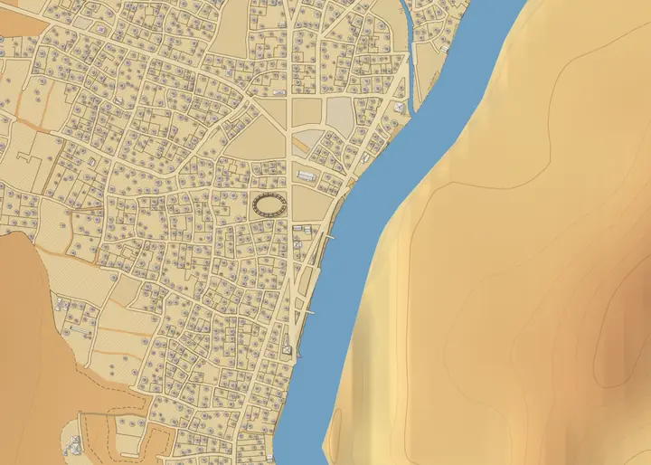
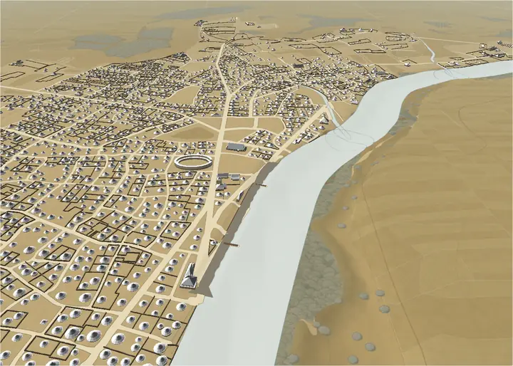
Nomad camp (steppe ordu)

nomad-campCamp

A steppe nomad camp (ordu): felt gers (yurts) in a radial circle around a central tent.

Plan
radial
Enclosure
circular
Storeys
1
Roof
dome
10 m · 5.5–9×24–421 ×
Numbers and details
ZonePeople per haFrontage (m)Plot depth (m)Coverage
Core605.5–924–4290–96%
Middle ring6412–1818–3040–64%
Suburb3612–1818–3032–56%
Village6018–4040–8012–30%

Home plans

  • bar
  • L-shape
  • cross
  • T-shape
  • courtyard
  • H-shape
Nucleus
none
Fortification
none
Pitch
90°
Wall material
felt
Farm types
ail
Central Asia: oasis caravan city: top view of a generated townCentral Asia: oasis caravan city: three-dimensional view of a generated town

Central Asia: oasis caravan city

oasis-caravanHistorical

Caravan axes between gates, a market core and large enclosures; irrigation and citadel remain future reserves.

Plan
organic
Enclosure
rounded rectangle
Storeys
1–2
Roof
flat
5 m · 4.6–6×5–81–2 ×
Numbers and details
ZonePeople per haFrontage (m)Plot depth (m)Coverage
Core3304.6–65–893–98%
Middle ring2504.6–6.55–990–97%
Suburb907–1330–6060–75%
Village6018–4040–8050–70%

Home plans

  • bar
  • L-shape
  • courtyard
  • T-shape
Nucleus
none
Fortification
wall
Wall material
earth
Roof cover
earth
Farm types
ksar bustan masseria
Mongols: ordu, a princely camp of yurts: top view of a generated townMongols: ordu, a princely camp of yurts: three-dimensional view of a generated town

Mongols: ordu, a princely camp of yurts

mongol-orduHistorical

The khan’s tent at the centre, open to the south, rings and rows of clan yurts, wide lanes for wagons; beyond a threshold, a fixed walled capital on a checkerboard (Karakorum).

Plan
radial
Enclosure
circular
Storeys
1
Roof
tent
10 m · 10–16×12–201 ×
Numbers and details
ZonePeople per haFrontage (m)Plot depth (m)Coverage
Core22010–1612–2012–25%
Middle ring11013–2218–2830–45%
Suburb6012–2016–2812–25%
Village22012–2014–266–15%

Home plans

  • bar
  • L-shape
  • T-shape
Nucleus
none
Fortification
none
Pitch
30°
Wall material
hide
Roof cover
felt
Farm types
ail
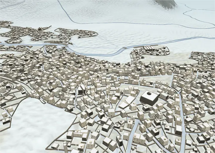
Arctic: Inuit winter camp: top view of a generated townArctic: Inuit winter camp: three-dimensional view of a generated town

Arctic: Inuit winter camp

inuit-campCamp

A group of igloos and skin tents near the shore or the pack ice, a communal house (qaggiq) at the centre, caches and drying racks around.

Plan
dispersed
Enclosure
circular
Storeys
1
Roof
dome
10 m · 8–13×9–141 ×
Numbers and details
ZonePeople per haFrontage (m)Plot depth (m)Coverage
Core1638–139–1415–30%
Village1639–1610–1810–22%

Home plans

  • bar
  • L-shape
  • cross
  • T-shape
  • courtyard
  • H-shape
Nucleus
none
Fortification
none
Pitch
90°
Wall material
snow
Farm types
winter-house ail
Siberia: reindeer herders’ chum camp: top view of a generated townSiberia: reindeer herders’ chum camp: three-dimensional view of a generated town

Siberia: reindeer herders’ chum camp

siberian-campCamp

Conical tents in an open arc, sledges and caches on posts behind, reindeer pens at the edge; a log village from a few hundred inhabitants.

Plan
radial
Enclosure
circular
Storeys
1
Roof
tent
10 m · 9–14×10–151 ×
Numbers and details
ZonePeople per haFrontage (m)Plot depth (m)Coverage
Core2109–1410–1512–25%
Village14410–1812–208–18%

Home plans

  • bar
  • L-shape
  • T-shape
Nucleus
none
Fortification
none
Pitch
36°
Wall material
hide
Roof cover
hide
Farm types
chum-camp ail

Fantasy peoples

16
Elven forest town: top view of a generated townElven forest town: three-dimensional view of a generated town

Elven forest town

elvenFantasy

A forest town of living wood: organic paths between tree houses and domed pavilions, a sacred grove at the centre, a hedge instead of a wall.

Plan
organic
Enclosure
irregular
Storeys
1–3
Roof
dome
10 m · 5.5–9×24–421–3 ×
Numbers and details
ZonePeople per haFrontage (m)Plot depth (m)Coverage
Core905.5–924–4210–18%
Middle ring756.5–1130–508–15%
Village3518–4040–805–10%

Home plans

  • bar
  • L-shape
  • cross
  • T-shape
  • courtyard
  • H-shape
Nucleus
sacred grove
Fortification
hedge
Pitch
90°
Wall material
living-wood
Farm types
elven-glade haufenhof
Dwarven hold: top view of a generated townDwarven hold: three-dimensional view of a generated town

Dwarven hold

dwarvenFantasy

A mountain hold: terraced halls cut into rock behind a straight stone wall, flat roofs, rooms of massive stone.

Plan
terraced
Enclosure
rectangular
Storeys
1–2
Roof
flat
10 m · 9–17×18–301–2 ×
Numbers and details
ZonePeople per haFrontage (m)Plot depth (m)Coverage
Core1709–1718–3078–88%
Suburb557–1330–6038–52%
Village3518–4040–8012–30%

Home plans

  • bar
  • L-shape
  • courtyard
  • T-shape
Nucleus
none
Fortification
wall
Wall material
rock
Farm types
kancha l-yard
Necropolis (city of the dead): top view of a generated townNecropolis (city of the dead): three-dimensional view of a generated town

Necropolis (city of the dead)

necropolisFantasy

A city of the dead on a regular grid: mausoleums in hip-roofed stone, a wall, and a mortuary temple at the centre.

Plan
grid
Enclosure
rectangular
Storeys
1
Roof
hip
10 m · 6–9×20–301 ×
Numbers and details
ZonePeople per haFrontage (m)Plot depth (m)Coverage
Core2606–920–3030–40%
Middle ring2406–920–3228–38%
Village20018–4040–8025–35%

Home plans

  • bar
  • L-shape
  • T-shape
  • cross
  • courtyard
  • H-shape
Nucleus
mortuary temple
Fortification
wall
Pitch
30°
Wall material
stone
Farm types
l-yard ksar masseria
Wizard city: top view of a generated townWizard city: three-dimensional view of a generated town

Wizard city

wizard-cityFantasy

A wizard city on a radial plan: a tower at the centre, a circular wall, stone houses of two to four storeys under hip roofs.

Plan
radial
Enclosure
circular
Storeys
2–4
Roof
hip
10 m · 7–11×24–422–4 ×
Numbers and details
ZonePeople per haFrontage (m)Plot depth (m)Coverage
Core1607–1124–4278–88%
Middle ring1208–1230–5066–78%
Suburb557–1330–6064–74%
Village3516–3040–8015–30%

Home plans

  • bar
  • L-shape
  • T-shape
  • cross
  • courtyard
  • H-shape
Nucleus
wizard’s tower
Fortification
wall
Pitch
30°
Wall material
stone
Farm types
mage-steading vierkanthof u-yard
Gnomish canal town: top view of a generated townGnomish canal town: three-dimensional view of a generated town

Gnomish canal town

gnomishFantasy

A gnomish canal town: very tall narrow brick houses (five to seven storeys) under pyramidal roofs, a clock tower at the centre.

Plan
organic
Enclosure
irregular
Storeys
5–7
Roof
pyramid
5 m · 4.5–6×14–225–7 ×
Numbers and details
ZonePeople per haFrontage (m)Plot depth (m)Coverage
Core2804.5–614–2288–95%
Middle ring2204.5–6.515–2484–92%
Suburb905–816–2660–72%
Village4510–2020–3425–40%

Home plans

  • bar
  • L-shape
  • cross
  • T-shape
  • courtyard
  • H-shape
Nucleus
clock tower
Fortification
chosen by town size
Pitch
45°
Wall material
brick
Farm types
gnome-croft vierkanthof u-yard
Stilt town (marsh folk): top view of a generated townStilt town (marsh folk): three-dimensional view of a generated town

Stilt town (marsh folk)

stilt-townFantasy

A scattered village of marsh folk on stilts: round thatched houses standing over the water, no centre and no enclosure.

Plan
dispersed
Enclosure
circular
Storeys
1
Roof
cone
10 m · 5.5–9×24–421 ×
Numbers and details
ZonePeople per haFrontage (m)Plot depth (m)Coverage
Core1205.5–924–4290–96%
Village12018–4040–8012–30%

Home plans

  • bar
  • L-shape
  • cross
  • T-shape
  • courtyard
  • H-shape
Nucleus
none
Fortification
none
Pitch
55°
Wall material
thatch
Farm types
stilt
Barbarian: Germanic village: top view of a generated townBarbarian: Germanic village: three-dimensional view of a generated town

Barbarian: Germanic village

barbarianFantasy

A Germanic village: byre-houses with thatched gabled roofs scattered in a circle of fields, no wall.

Plan
dispersed
Enclosure
circular
Storeys
1
Roof
gable
10 m · 5.5–9×24–421 ×
Numbers and details
ZonePeople per haFrontage (m)Plot depth (m)Coverage
Core605.5–924–4290–96%
Middle ring8810–1620–3440–64%
Suburb49.510–1620–3432–56%
Village6018–4040–8012–30%

Home plans

  • bar
  • L-shape
  • cross
  • T-shape
  • courtyard
  • H-shape
Nucleus
none
Fortification
none
Pitch
38°
Wall material
thatch
Farm types
einhaus haufenhof norse-longhouse
Orcish war camp: top view of a generated townOrcish war camp: three-dimensional view of a generated town

Orcish war camp

orcishFantasy

An orcish war camp: huts of hide on a conical frame scattered in a circle, no order and no wall.

Plan
dispersed
Enclosure
circular
Storeys
1
Roof
cone
10 m · 5.5–9×24–421 ×
Numbers and details
ZonePeople per haFrontage (m)Plot depth (m)Coverage
Core905.5–924–4290–96%
Middle ring10410–1816–2840–64%
Suburb58.510–1816–2832–56%
Village9018–4040–8012–30%

Home plans

  • bar
  • L-shape
  • cross
  • T-shape
  • courtyard
  • H-shape
Nucleus
none
Fortification
none
Pitch
55°
Wall material
hide
Farm types
orc-steading kraal
Halfling shire: top view of a generated townHalfling shire: three-dimensional view of a generated town

Halfling shire

halflingFantasy

A halfling shire: smials (houses dug into hillsides) under turf domes, scattered in a circle, with small gardens.

Plan
dispersed
Enclosure
circular
Storeys
1
Roof
dome
10 m · 5.5–9×24–421 ×
Numbers and details
ZonePeople per haFrontage (m)Plot depth (m)Coverage
Core325.5–924–4290–96%
Middle ring6812–2018–3040–64%
Suburb38.2512–2018–3032–56%
Village3218–4040–8012–30%

Home plans

  • bar
  • L-shape
  • cross
  • T-shape
  • courtyard
  • H-shape
Nucleus
none
Fortification
none
Pitch
90°
Wall material
turf
Farm types
smial-garden vierkanthof u-yard
Drow enclave: top view of a generated townDrow enclave: three-dimensional view of a generated town

Drow enclave

drow-enclaveFantasy

A drow enclave: dark-stone courtyard houses of two to three storeys with flat roofs, on organic lanes around a central precinct.

Plan
organic
Enclosure
irregular
Storeys
2–3
Roof
flat
10 m · 5.5–9×24–422–3 ×
Numbers and details
ZonePeople per haFrontage (m)Plot depth (m)Coverage
Core2605.5–924–4282–90%
Middle ring2106.5–1130–5078–87%
Suburb857–1330–6050–65%
Village7018–4040–8045–62%

Home plans

  • bar
  • L-shape
  • courtyard
  • T-shape
Nucleus
sacred precinct
Fortification
none
Wall material
dark-stone
Farm types
fungal-farm
Duergar industrial hold: top view of a generated townDuergar industrial hold: three-dimensional view of a generated town

Duergar industrial hold

duergar-holdFantasy

A duergar industrial hold: terraced dark-stone halls with flat roofs, behind a straight wall, around a central precinct.

Plan
terraced
Enclosure
rectangular
Storeys
1–2
Roof
flat
10 m · 10–15×24–341–2 ×
Numbers and details
ZonePeople per haFrontage (m)Plot depth (m)Coverage
Core22010–1524–3480–90%
Suburb10014–2028–4060–72%
Village8514–2228–4255–68%

Home plans

  • bar
  • L-shape
  • courtyard
  • T-shape
Nucleus
sacred precinct
Fortification
wall
Wall material
dark-stone
Farm types
fungal-farm
Myconid colony: top view of a generated townMyconid colony: three-dimensional view of a generated town

Myconid colony

myconid-colonyFantasy

A myconid colony: domed fungal dwellings in a radial plan around a central precinct, no wall.

Plan
radial
Enclosure
circular
Storeys
1
Roof
dome
10 m · 5.5–9×24–421 ×
Numbers and details
ZonePeople per haFrontage (m)Plot depth (m)Coverage
Core1105.5–924–4215–24%
Village5512–2832–608–15%

Home plans

  • bar
  • L-shape
  • cross
  • T-shape
  • courtyard
  • H-shape
Nucleus
sacred precinct
Fortification
none
Pitch
90°
Wall material
fungal
Farm types
spore-farm
Lizardfolk: lake city on stilts: top view of a generated townLizardfolk: lake city on stilts: three-dimensional view of a generated town

Lizardfolk: lake city on stilts

lizardfolk-swampFantasy

The morphology of pile-dwelling villages: platforms on stilts linked by winding walkways around a sacred pool; no wide streets.

Plan
dispersed
Enclosure
irregular
Storeys
1
Roof
cone
10 m · 9–14×14–221 ×
Numbers and details
ZonePeople per haFrontage (m)Plot depth (m)Coverage
Core1319–1414–2230–45%
Middle ring1169–1514–2326–40%
Suburb8010–1615–2420–34%
Village6510–1816–2616–30%

Home plans

  • bar
  • L-shape
  • T-shape
Nucleus
sacred precinct
Fortification
none
Pitch
40°
Wall material
stone
Roof cover
thatch
Farm types
lizard-mound stilt
Merfolk: tidal village of shore and sea caves: top view of a generated townMerfolk: tidal village of shore and sea caves: three-dimensional view of a generated town

Merfolk: tidal village of shore and sea caves

merfolk-tidalFantasy

The morphology of lagoons and islets (Nan Madol, pile villages): houses on platforms at water level, stair-alleys to the caves, a tidal shrine at the centre.

Plan
organic
Enclosure
irregular
Storeys
1–2
Roof
dome
10 m · 8–13×12–201–2 ×
Numbers and details
ZonePeople per haFrontage (m)Plot depth (m)Coverage
Core1768–1312–2040–55%
Middle ring1528.5–1413–2134–50%
Suburb969–1514–2225–40%
Village7210–1815–2418–32%

Home plans

  • bar
  • L-shape
  • T-shape
  • cross
  • courtyard
  • H-shape
Nucleus
temple
Fortification
none
Wall material
stone
Roof cover
stone
Farm types
stilt
Giants: megalithic town: top view of a generated townGiants: megalithic town: three-dimensional view of a generated town

Giants: megalithic town

giant-holdFantasy

The morphology of a ring fort at ×2–3 scale: the jarl’s great hall at the centre, oversized streets and enclosures, a cyclopean wall; the houses remain human recipes (a known gap).

Plan
radial
Enclosure
circular
Storeys
2–3
Roof
gable
20 m · 20–32×40–602–3 ×
Numbers and details
ZonePeople per haFrontage (m)Plot depth (m)Coverage
Core2520–3240–6025–40%
Middle ring2222–3442–6422–36%
Suburb1524–3644–6816–28%
Village1226–4046–7212–24%

Home plans

  • bar
  • L-shape
  • T-shape
  • cross
  • courtyard
  • H-shape
Nucleus
castle
Fortification
wall
Pitch
40°
Wall material
stone
Roof cover
stone
Farm types
giant-steading norse-longhouse haufenhof
Goblins: hillside warren: top view of a generated townGoblins: hillside warren: three-dimensional view of a generated town

Goblins: hillside warren

goblin-warrenFantasy

The morphology of semi-subterranean house villages: mounds dug out in clusters, highly branched dead-end tunnels following the slope, a stake palisade; no ordered square.

Plan
organic
Enclosure
irregular
Storeys
1
Roof
cone
10 m · 17–24×15–221 ×
Numbers and details
ZonePeople per haFrontage (m)Plot depth (m)Coverage
Core32017–2415–2218–68%
Middle ring26017–2515–2318–68%
Suburb14018–2616–2418–68%
Village9018–2816–2618–68%

Home plans

  • bar
  • L-shape
  • T-shape
Nucleus
none
Fortification
palisade
Pitch
40°
Wall material
stone
Roof cover
thatch
Farm types
goblin-burrow haufenhof roundhouse

Modern cities

27
American grid city (Chicago, Manhattan): top view of a generated townAmerican grid city (Chicago, Manhattan): three-dimensional view of a generated town

American grid city (Chicago, Manhattan)

american-gridModern

Orthogonal grid of long rectangular blocks between avenues and cross streets; brick and stone row houses and walk-up tenements on narrow deep lots; a vertical business core of commercial blocks and setback towers; station, factories, warehouses and elevators near the water. No town wall.

Plan
grid
Enclosure
rectangular
Storeys
3–6
Roof
gable
10 m · 6–9×28–323–6 ×
Numbers and details
ZonePeople per haFrontage (m)Plot depth (m)Coverage
Core2406–928–3285–95%
Middle ring2385.5–7.628–3265–80%
Suburb4512–1724–3020–32%
Village3512–2436–6012–28%

Home plans

  • bar
  • L-shape
  • T-shape
  • courtyard
Nucleus
market
Fortification
none
Pitch
46°
Wall material
brick
Roof cover
slate
Height ladder
midrise
Farm types
haufenhof l-yard einhaus
Industrial Victorian city (Manchester, Liverpool): top view of a generated townIndustrial Victorian city (Manchester, Liverpool): three-dimensional view of a generated town

Industrial Victorian city (Manchester, Liverpool)

industrial-victorianModern

Brick terraces and back-to-back rows on a tight grid of narrow streets; mills with their chimneys, warehouses, canals and railway yards; a civic core of town hall, exchange and covered market. No town wall.

Plan
grid
Enclosure
rectangular
Storeys
2–3
Roof
gable
5 m · 4.5–6×12–182–3 ×
Numbers and details
ZonePeople per haFrontage (m)Plot depth (m)Coverage
Core3004.5–612–1870–85%
Middle ring2384.5–612–1865–80%
Suburb4512–1724–3020–32%
Village4010–1830–5015–30%

Home plans

  • bar
  • L-shape
  • T-shape
  • courtyard
Nucleus
market
Fortification
none
Pitch
38°
Wall material
brick
Roof cover
slate
Height ladder
midrise
Farm types
l-yard longere
Haussmannian boulevard city (Paris): top view of a generated townHaussmannian boulevard city (Paris): three-dimensional view of a generated town

Haussmannian boulevard city (Paris)

haussmannianModern

Straight boulevards and radiating avenues cut through closed blocks; continuous stone apartment fronts of equal height under zinc mansards; squares at the crossings, a station, an opera and a great department store.

Plan
grid
Enclosure
rectangular
Storeys
5–7
Roof
hip
10 m · 12–20×16–245–7 ×
Numbers and details
ZonePeople per haFrontage (m)Plot depth (m)Coverage
Core32012–2016–2475–88%
Middle ring23812–1816–2470–85%
Suburb4512–1724–3020–32%
Village3512–2436–6012–28%

Home plans

  • bar
  • L-shape
  • courtyard
  • T-shape
Nucleus
market
Fortification
none
Pitch
30°
Wall material
ashlar
Roof cover
zinc
Height ladder
boulevard
Farm types
longere u-yard
Belle Époque capital (Vienna, Budapest): top view of a generated townBelle Époque capital (Vienna, Budapest): three-dimensional view of a generated town

Belle Époque capital (Vienna, Budapest)

belle-epoqueModern

A ring boulevard around the old core lined with monumental public buildings; large courtyard blocks of bourgeois apartment houses with hipped roofs; tram avenues, parks and a grand station.

Plan
grid
Enclosure
rectangular
Storeys
4–6
Roof
hip
10 m · 12–20×16–244–6 ×
Numbers and details
ZonePeople per haFrontage (m)Plot depth (m)Coverage
Core32012–2016–2475–88%
Middle ring23812–1816–2470–85%
Suburb4512–1724–3020–32%
Village3512–2436–6012–28%

Home plans

  • bar
  • L-shape
  • courtyard
  • T-shape
Nucleus
market
Fortification
none
Pitch
32°
Wall material
ashlar
Roof cover
tile
Height ladder
boulevard
Farm types
vierkanthof u-yard
Mediterranean modern city (Barcelona, Naples): top view of a generated townMediterranean modern city (Barcelona, Naples): three-dimensional view of a generated town

Mediterranean modern city (Barcelona, Naples)

mediterranean-modernModern

A regular grid of chamfered square blocks with inner patios; party-wall apartment buildings with balconies and roof terraces; a seafront promenade, a port and a market hall.

Plan
grid
Enclosure
rectangular
Storeys
4–6
Roof
flat
10 m · 10–16×18–264–6 ×
Numbers and details
ZonePeople per haFrontage (m)Plot depth (m)Coverage
Core36410–1618–2670–85%
Middle ring23810–1618–2665–80%
Suburb4512–1724–3020–32%
Village3512–2436–6015–30%

Home plans

  • bar
  • L-shape
  • courtyard
  • T-shape
Nucleus
market
Fortification
none
Wall material
plaster
Roof cover
tile
Height ladder
midrise
Farm types
masseria cortijo
Garden city (Letchworth, Welwyn): top view of a generated townGarden city (Letchworth, Welwyn): three-dimensional view of a generated town

Garden city (Letchworth, Welwyn)

garden-cityModern

Curving tree-lined streets and closes around greens; semi-detached cottages and short terraces in deep gardens; a civic centre, a parkway and a separate industrial estate.

Plan
organic
Enclosure
irregular
Storeys
2
Roof
gable
10 m · 9–14×28–382 ×
Numbers and details
ZonePeople per haFrontage (m)Plot depth (m)Coverage
Core909–1428–3830–40%
Middle ring7010–1530–4025–35%
Suburb3512–1724–3020–32%
Village2018–3040–6010–20%

Home plans

  • L-shape
  • bar
  • T-shape
  • cross
Nucleus
market
Fortification
none
Pitch
45°
Wall material
brick
Roof cover
tile
Height ladder
midrise
Farm types
l-yard longere
Art Deco metropolis (New York, Miami): top view of a generated townArt Deco metropolis (New York, Miami): three-dimensional view of a generated town

Art Deco metropolis (New York, Miami)

art-deco-metropolisModern

A dense grid of avenues and streets under setback towers crowned by stepped spires; geometric stone and brick apartment blocks, hotels and theatres along the grand axes.

Plan
grid
Enclosure
rectangular
Storeys
4–8
Roof
flat
10 m · 6–9×28–324–8 ×
Numbers and details
ZonePeople per haFrontage (m)Plot depth (m)Coverage
Core2406–928–3285–95%
Middle ring2385.5–7.628–3265–80%
Suburb4512–1724–3020–32%
Village3512–2436–6012–28%

Home plans

  • bar
  • L-shape
  • T-shape
  • courtyard
Nucleus
market
Fortification
none
Wall material
brick
Roof cover
bitumen
Height ladder
midrise
Farm types
vierkanthof u-yard l-yard
Modernist functional city (Brasília, Chandigarh): top view of a generated townModernist functional city (Brasília, Chandigarh): three-dimensional view of a generated town

Modernist functional city (Brasília, Chandigarh)

modernist-functionalistModern

Superblocks between wide arterial roads without crossings; free-standing slabs on pilotis in open lawns; separate zones for housing, government, commerce and industry; a monumental axis with the stadium and the towers of administration.

Plan
grid
Enclosure
rectangular
Storeys
4–6
Roof
flat
50 m · 30–60×24–444–6 ×
Numbers and details
ZonePeople per haFrontage (m)Plot depth (m)Coverage
Core36430–6024–4425–35%
Middle ring23830–6024–4420–30%
Suburb4512–1724–3020–32%
Village3514–2430–5012–25%

Home plans

  • bar
  • L-shape
  • T-shape
Nucleus
market
Fortification
none
Wall material
concrete
Roof cover
bitumen
Height ladder
midrise
Farm types
vierkanthof u-yard l-yard
Soviet socialist city (Moscow, Minsk): top view of a generated townSoviet socialist city (Moscow, Minsk): three-dimensional view of a generated town

Soviet socialist city (Moscow, Minsk)

soviet-socialistModern

Wide parade avenues and a central square with its monument; microdistricts of prefabricated panel slabs around schools and courtyards; Stalinist towers, a television tower, power plants and factory belts.

Plan
grid
Enclosure
rectangular
Storeys
5–9
Roof
flat
20 m · 24–50×20–365–9 ×
Numbers and details
ZonePeople per haFrontage (m)Plot depth (m)Coverage
Core32024–5020–3640–55%
Middle ring23840–8020–4018–28%
Suburb4512–1724–3020–32%
Village3514–2430–5012–25%

Home plans

  • bar
  • L-shape
  • T-shape
Nucleus
market
Fortification
none
Wall material
concrete
Roof cover
bitumen
Height ladder
midrise
Farm types
dvor
American suburbia (Los Angeles, Phoenix): top view of a generated townAmerican suburbia (Los Angeles, Phoenix): three-dimensional view of a generated town

American suburbia (Los Angeles, Phoenix)

american-suburbiaModern

Curving residential loops and cul-de-sacs off a hierarchy of arterials; detached houses with garages on deep front lawns; shopping malls, strip centres and office parks at the interchanges.

Plan
organic
Enclosure
irregular
Storeys
1–2
Roof
hip
10 m · 16–22×30–381–2 ×
Numbers and details
ZonePeople per haFrontage (m)Plot depth (m)Coverage
Core4516–2230–3822–32%
Middle ring4016–2230–3820–30%
Suburb3212–1724–3020–32%
Village1524–4040–708–18%

Home plans

  • L-shape
  • bar
  • T-shape
  • cross
Nucleus
market
Fortification
none
Pitch
22°
Wall material
plaster
Roof cover
shingle
Height ladder
midrise
Farm types
vierkanthof u-yard l-yard
European contemporary city (Copenhagen, Amsterdam): top view of a generated townEuropean contemporary city (Copenhagen, Amsterdam): three-dimensional view of a generated town

European contemporary city (Copenhagen, Amsterdam)

european-contemporaryModern

Mixed perimeter blocks around green courts; brick and timber apartment buildings over shops; canals, tram and cycle streets, a central station and a harbour front of cultural buildings.

Plan
grid
Enclosure
rectangular
Storeys
4–6
Roof
flat
10 m · 10–18×16–224–6 ×
Numbers and details
ZonePeople per haFrontage (m)Plot depth (m)Coverage
Core26010–1816–2255–70%
Middle ring23810–1816–2250–65%
Suburb4512–1724–3020–32%
Village3010–2030–5012–25%

Home plans

  • bar
  • L-shape
  • courtyard
Nucleus
market
Fortification
none
Wall material
brick
Roof cover
bitumen
Height ladder
midrise
Farm types
vierkanthof u-yard l-yard
Global high-rise city (Hong Kong, Shenzhen): top view of a generated townGlobal high-rise city (Hong Kong, Shenzhen): three-dimensional view of a generated town

Global high-rise city (Hong Kong, Shenzhen)

global-high-riseModern

Residential towers on commercial podiums packed between steep slopes and the harbour; elevated walkways, metro stations and malls; a skyline of glass office towers.

Plan
grid
Enclosure
rectangular
Storeys
12–30
Roof
flat
20 m · 20–36×24–3612–30 ×
Numbers and details
ZonePeople per haFrontage (m)Plot depth (m)Coverage
Core36420–3624–3665–80%
Middle ring23820–3624–3660–75%
Suburb4512–1724–3020–32%
Village5010–2024–4015–30%

Home plans

  • bar
  • L-shape
  • T-shape
Nucleus
market
Fortification
none
Wall material
concrete
Roof cover
bitumen
Height ladder
midrise
Farm types
vierkanthof u-yard l-yard
Gulf city (Dubai, Doha): top view of a generated townGulf city (Dubai, Doha): three-dimensional view of a generated town

Gulf city (Dubai, Doha)

gulf-contemporaryModern

Discontinuous growth along wide motorways; walled villa superblocks; a strip of iconic towers along the coast; air-conditioned malls, a grand mosque and marinas.

Plan
grid
Enclosure
rectangular
Storeys
2–3
Roof
flat
20 m · 30–50×30–502–3 ×
Numbers and details
ZonePeople per haFrontage (m)Plot depth (m)Coverage
Core30030–5030–5030–45%
Middle ring8020–3025–3530–42%
Suburb4012–1724–3020–32%
Village1524–4030–5010–20%

Home plans

  • bar
  • L-shape
  • T-shape
Nucleus
market
Fortification
none
Wall material
concrete
Roof cover
plaster
Height ladder
midrise
Farm types
bustan
Informal urban expansion (Lagos, Lima): top view of a generated townInformal urban expansion (Lagos, Lima): three-dimensional view of a generated town

Informal urban expansion (Lagos, Lima)

informal-urban-expansionModern

Self-built houses on irregular plots along narrow lanes, extended storey by storey; corrugated roofs, open markets, churches and mosques, workshops in every street.

Plan
organic
Enclosure
irregular
Storeys
1–3
Roof
flat
5 m · 6–10×10–161–3 ×
Numbers and details
ZonePeople per haFrontage (m)Plot depth (m)Coverage
Core3646–1010–1665–85%
Middle ring2386–1010–1660–80%
Suburb4512–1724–3020–32%
Village6010–1816–3020–35%

Home plans

  • bar
  • L-shape
  • T-shape
Nucleus
market
Fortification
none
Wall material
plaster
Roof cover
metal
Height ladder
midrise
Farm types
sahel-compound
Eco-city (sustainable district): top view of a generated townEco-city (sustainable district): three-dimensional view of a generated town

Eco-city (sustainable district)

eco-cityModern

Low-carbon timber blocks with green roofs around green corridors; car-free streets, cycle and tram lines, community gardens, greenhouses and a wind-powered utility edge.

Plan
organic
Enclosure
irregular
Storeys
3–5
Roof
flat
10 m · 10–18×16–243–5 ×
Numbers and details
ZonePeople per haFrontage (m)Plot depth (m)Coverage
Core22010–1816–2440–55%
Middle ring20010–1616–2435–50%
Suburb4512–1724–3020–32%
Village3012–2030–5010–22%

Home plans

  • bar
  • L-shape
  • courtyard
Nucleus
market
Fortification
none
Wall material
wood
Roof cover
turf
Height ladder
midrise
Farm types
vierkanthof u-yard l-yard
Japanese contemporary city (Tokyo, Osaka): top view of a generated townJapanese contemporary city (Tokyo, Osaka): three-dimensional view of a generated town

Japanese contemporary city (Tokyo, Osaka)

japanese-contemporaryModern

Tiny plots on narrow local streets behind wide arterials; pencil buildings, detached houses with small gaps between them, shops on every corner; elevated railways, stations with their department stores and temple and shrine precincts.

Plan
grid
Enclosure
rectangular
Storeys
2–4
Roof
flat
5 m · 5–8×10–162–4 ×
Numbers and details
ZonePeople per haFrontage (m)Plot depth (m)Coverage
Core3645–810–1670–90%
Middle ring2385–810–1665–85%
Suburb4512–1724–3020–32%
Village5010–1820–4020–35%

Home plans

  • bar
  • L-shape
Nucleus
market
Fortification
none
Wall material
concrete
Roof cover
metal
Height ladder
midrise
Farm types
minka
Chinese megacity (Shanghai, Guangzhou): top view of a generated townChinese megacity (Shanghai, Guangzhou): three-dimensional view of a generated town

Chinese megacity (Shanghai, Guangzhou)

chinese-megacityModern

Gated superblocks of identical residential towers between eight-lane avenues; a CBD of glass skyscrapers, malls and elevated ring roads; old lane quarters and villages swallowed by the grid.

Plan
grid
Enclosure
rectangular
Storeys
12–30
Roof
flat
50 m · 30–60×24–4412–30 ×
Numbers and details
ZonePeople per haFrontage (m)Plot depth (m)Coverage
Core36430–6024–4440–55%
Middle ring23830–6024–4435–50%
Suburb4512–1724–3020–32%
Village3514–2430–5012–25%

Home plans

  • bar
  • L-shape
  • T-shape
Nucleus
market
Fortification
none
Wall material
concrete
Roof cover
bitumen
Height ladder
midrise
Farm types
chinese-court
Korean high-rise city (Seoul, Busan): top view of a generated townKorean high-rise city (Seoul, Busan): three-dimensional view of a generated town

Korean high-rise city (Seoul, Busan)

korean-high-riseModern

Numbered apartment estates (danji) of parallel high-rise slabs climbing the hills; dense low-rise villa quarters and markets between them; churches with neon crosses and a mountain backdrop.

Plan
grid
Enclosure
rectangular
Storeys
12–25
Roof
flat
50 m · 30–60×24–4412–25 ×
Numbers and details
ZonePeople per haFrontage (m)Plot depth (m)Coverage
Core36430–6024–4425–35%
Middle ring23830–6024–4420–30%
Suburb4512–1724–3020–32%
Village3514–2430–5012–25%

Home plans

  • bar
  • L-shape
  • T-shape
Nucleus
market
Fortification
none
Wall material
concrete
Roof cover
bitumen
Height ladder
midrise
Farm types
hanok
Southeast Asian tropical city (Bangkok, Ho Chi Minh City): top view of a generated townSoutheast Asian tropical city (Bangkok, Ho Chi Minh City): three-dimensional view of a generated town

Southeast Asian tropical city (Bangkok, Ho Chi Minh City)

southeast-asian-tropicalModern

Narrow shophouse rows along main roads with deep alleys (soi) behind them; markets, canals and temples; a few towers and malls on the arterials.

Plan
organic
Enclosure
irregular
Storeys
3–5
Roof
flat
5 m · 4–6×10–163–5 ×
Numbers and details
ZonePeople per haFrontage (m)Plot depth (m)Coverage
Core3644–610–1670–90%
Middle ring2384–610–1665–85%
Suburb4512–1724–3020–32%
Village508–1620–4020–35%

Home plans

  • bar
  • L-shape
Nucleus
market
Fortification
none
Wall material
concrete
Roof cover
metal
Height ladder
midrise
Farm types
nha-ba-gian stilt
South Asian metropolis (Mumbai, Delhi): top view of a generated townSouth Asian metropolis (Mumbai, Delhi): three-dimensional view of a generated town

South Asian metropolis (Mumbai, Delhi)

south-asian-metropolisModern

Extreme density of mixed blocks: chawls, apartment buildings and self-built quarters side by side; bazaars, temples, a colonial railway terminus and planned colonies at the edge.

Plan
organic
Enclosure
irregular
Storeys
3–6
Roof
flat
5 m · 5–8×10–163–6 ×
Numbers and details
ZonePeople per haFrontage (m)Plot depth (m)Coverage
Core3645–810–1670–90%
Middle ring2385–810–1665–85%
Suburb4512–1724–3020–32%
Village5010–1820–4020–35%

Home plans

  • bar
  • L-shape
Nucleus
market
Fortification
none
Wall material
plaster
Roof cover
plaster
Height ladder
midrise
Farm types
indian-court
Latin American grid city (Buenos Aires, Mexico City): top view of a generated townLatin American grid city (Buenos Aires, Mexico City): three-dimensional view of a generated town

Latin American grid city (Buenos Aires, Mexico City)

latin-american-gridModern

The colonial grid of square blocks around the plaza mayor; patio houses and apartment buildings on compact lots; wide avenues and diagonals of the nineteenth century, a cathedral, a cabildo and a station.

Plan
grid
Enclosure
square
Storeys
1–3
Roof
flat
10 m · 8–12×30–451–3 ×
Numbers and details
ZonePeople per haFrontage (m)Plot depth (m)Coverage
Core2608–1230–4575–90%
Middle ring2388–1230–4565–80%
Suburb4512–1724–3020–32%
Village3014–2436–6020–35%

Home plans

  • bar
  • L-shape
  • courtyard
  • T-shape
Nucleus
market
Fortification
none
Wall material
plaster
Roof cover
plaster
Height ladder
midrise
Farm types
cortijo solar
Latin American hillside city (Rio, Medellín): top view of a generated townLatin American hillside city (Rio, Medellín): three-dimensional view of a generated town

Latin American hillside city (Rio, Medellín)

latin-american-hillsideModern

Brick houses clinging to steep slopes, stacked along stairs and winding lanes; a dense irregular network climbing from the valley road, cable-car stations, chapels and football pitches.

Plan
organic
Enclosure
irregular
Storeys
2–4
Roof
flat
5 m · 4–7×6–102–4 ×
Numbers and details
ZonePeople per haFrontage (m)Plot depth (m)Coverage
Core3644–76–1075–90%
Middle ring2384–76–1070–88%
Suburb4512–1724–3020–32%
Village808–1412–2430–45%

Home plans

  • bar
  • L-shape
  • T-shape
Nucleus
market
Fortification
none
Wall material
brick
Roof cover
metal
Height ladder
midrise
Farm types
solar
North African contemporary city (Casablanca, Tunis): top view of a generated townNorth African contemporary city (Casablanca, Tunis): three-dimensional view of a generated town

North African contemporary city (Casablanca, Tunis)

north-african-contemporaryModern

A colonial ville nouvelle of white Art Deco apartment buildings on boulevards beside the old medina; modern housing estates and self-built peripheries; a grand mosque, souks and a port.

Plan
grid
Enclosure
rectangular
Storeys
3–5
Roof
flat
10 m · 12–20×16–243–5 ×
Numbers and details
ZonePeople per haFrontage (m)Plot depth (m)Coverage
Core32012–2016–2475–88%
Middle ring23812–1816–2470–85%
Suburb4512–1724–3020–32%
Village3512–2436–6012–28%

Home plans

  • bar
  • L-shape
  • courtyard
  • T-shape
Nucleus
market
Fortification
none
Wall material
plaster
Roof cover
plaster
Height ladder
midrise
Farm types
bustan izbah
Sub-Saharan African metropolis (Dakar, Accra): top view of a generated townSub-Saharan African metropolis (Dakar, Accra): three-dimensional view of a generated town

Sub-Saharan African metropolis (Dakar, Accra)

sub-saharan-african-metropolisModern

A colonial plateau of offices and avenues above heterogeneous quarters of walled family compounds, densifying year by year; great markets, mosques and churches, bus stations.

Plan
grid
Enclosure
irregular
Storeys
1–2
Roof
flat
10 m · 14–22×20–301–2 ×
Numbers and details
ZonePeople per haFrontage (m)Plot depth (m)Coverage
Core30014–2220–3050–70%
Middle ring23812–2018–2840–60%
Suburb4512–1724–3020–32%
Village4018–3024–4015–30%

Home plans

  • bar
  • L-shape
  • T-shape
Nucleus
market
Fortification
none
Wall material
plaster
Roof cover
metal
Height ladder
midrise
Farm types
agbo-ile sahel-compound
Middle Eastern contemporary city (Amman, Beirut): top view of a generated townMiddle Eastern contemporary city (Amman, Beirut): three-dimensional view of a generated town

Middle Eastern contemporary city (Amman, Beirut)

middle-eastern-contemporaryModern

Free-standing stone-clad apartment blocks with roof terraces on stepped hillside streets; a dense old centre of souks, mosques and churches; circles and boulevards on the ridges.

Plan
organic
Enclosure
irregular
Storeys
4–6
Roof
flat
10 m · 12–18×18–254–6 ×
Numbers and details
ZonePeople per haFrontage (m)Plot depth (m)Coverage
Core32012–1818–2550–65%
Middle ring23812–1818–2545–60%
Suburb4512–1724–3020–32%
Village3516–2828–4512–25%

Home plans

  • bar
  • L-shape
  • courtyard
  • T-shape
Nucleus
market
Fortification
none
Wall material
ashlar
Roof cover
plaster
Height ladder
midrise
Farm types
bustan
Australian suburban city (Perth, Brisbane): top view of a generated townAustralian suburban city (Perth, Brisbane): three-dimensional view of a generated town

Australian suburban city (Perth, Brisbane)

australian-suburbanModern

Low-density suburbs of single-storey houses under metal roofs on quarter-acre blocks; wide roads, shopping centres and a compact CBD of towers on the river.

Plan
organic
Enclosure
irregular
Storeys
1
Roof
hip
20 m · 18–25×35–451 ×
Numbers and details
ZonePeople per haFrontage (m)Plot depth (m)Coverage
Core3018–2535–4522–32%
Middle ring2818–2535–4520–30%
Suburb3212–1724–3020–32%
Village1030–5050–808–18%

Home plans

  • L-shape
  • bar
  • T-shape
  • cross
Nucleus
market
Fortification
none
Pitch
24°
Wall material
brick
Roof cover
metal
Height ladder
midrise
Farm types
vierkanthof u-yard l-yard
Post-socialist European city (Warsaw, Bucharest): top view of a generated townPost-socialist European city (Warsaw, Bucharest): three-dimensional view of a generated town

Post-socialist European city (Warsaw, Bucharest)

post-socialist-europeanModern

A rebuilt historic core ringed by vast estates of panel blocks; a Stalinist palace of culture, new glass office towers, malls and car dealerships along the exit roads.

Plan
grid
Enclosure
rectangular
Storeys
3–5
Roof
gable
10 m · 12–20×16–243–5 ×
Numbers and details
ZonePeople per haFrontage (m)Plot depth (m)Coverage
Core32012–2016–2475–88%
Middle ring23830–6016–2418–28%
Suburb4512–1724–3020–32%
Village3512–2436–6012–28%

Home plans

  • bar
  • L-shape
  • courtyard
  • T-shape
Nucleus
market
Fortification
none
Pitch
40°
Wall material
brick
Roof cover
tile
Height ladder
midrise
Farm types
dvor l-yard

Futuristic and alien cities

9
Cyberpunk megacity: top view of a generated townCyberpunk megacity: three-dimensional view of a generated town

Cyberpunk megacity

cyberpunkFuturistic

Extreme vertical density: corporate megatowers and arcologies over stacked housing slabs, elevated decks and multi-level streets; markets in the undercity, power plants and data towers.

Plan
grid
Enclosure
rectangular
Storeys
12–30
Roof
flat
20 m · 20–36×24–3612–30 ×
Numbers and details
ZonePeople per haFrontage (m)Plot depth (m)Coverage
Core36420–3624–3675–90%
Middle ring23820–3624–3670–85%
Suburb4512–1724–3020–32%
Village6010–2024–4020–35%

Home plans

  • bar
  • L-shape
  • T-shape
Nucleus
market
Fortification
none
Wall material
concrete
Roof cover
metal
Height ladder
midrise
Farm types
vierkanthof u-yard l-yard
Solarpunk garden city: top view of a generated townSolarpunk garden city: three-dimensional view of a generated town

Solarpunk garden city

solarpunkFuturistic

Planted terraces and green roofs over timber blocks along curving car-free streets; vertical farms, greenhouses, solar fields and wind masts; parks and water gardens everywhere.

Plan
organic
Enclosure
irregular
Storeys
3–5
Roof
flat
10 m · 10–18×16–243–5 ×
Numbers and details
ZonePeople per haFrontage (m)Plot depth (m)Coverage
Core22010–1816–2440–55%
Middle ring20010–1616–2435–50%
Suburb4512–1724–3020–32%
Village3012–2030–5010–22%

Home plans

  • bar
  • L-shape
  • courtyard
Nucleus
market
Fortification
none
Wall material
wood
Roof cover
turf
Height ladder
midrise
Farm types
vierkanthof u-yard l-yard
Dieselpunk industrial metropolis: top view of a generated townDieselpunk industrial metropolis: three-dimensional view of a generated town

Dieselpunk industrial metropolis

dieselpunkFuturistic

Monumental Art Deco towers, smokestacks and steel works on heroic avenues; worker blocks in brick, power stations, airship mooring masts and rail yards.

Plan
grid
Enclosure
rectangular
Storeys
5–8
Roof
flat
10 m · 6–9×28–325–8 ×
Numbers and details
ZonePeople per haFrontage (m)Plot depth (m)Coverage
Core2406–928–3285–95%
Middle ring2385.5–7.628–3265–80%
Suburb4512–1724–3020–32%
Village3512–2436–6012–28%

Home plans

  • bar
  • L-shape
  • T-shape
  • courtyard
Nucleus
market
Fortification
none
Wall material
brick
Roof cover
bitumen
Height ladder
midrise
Farm types
vierkanthof u-yard l-yard
Dystopian brutalist city: top view of a generated townDystopian brutalist city: three-dimensional view of a generated town

Dystopian brutalist city

dystopian-brutalismFuturistic

Massive raw-concrete blocks repeated along an authoritarian axis; megastructures, ministries and monuments; vast empty squares, cooling towers and walled industrial zones.

Plan
grid
Enclosure
rectangular
Storeys
12–20
Roof
flat
20 m · 24–50×20–3612–20 ×
Numbers and details
ZonePeople per haFrontage (m)Plot depth (m)Coverage
Core32024–5020–3640–55%
Middle ring23840–8020–4018–28%
Suburb4512–1724–3020–32%
Village3514–2430–5012–25%

Home plans

  • bar
  • L-shape
  • T-shape
Nucleus
market
Fortification
none
Wall material
concrete
Roof cover
bitumen
Height ladder
midrise
Farm types
vierkanthof u-yard l-yard
Atompunk retrofuturist city: top view of a generated townAtompunk retrofuturist city: three-dimensional view of a generated town

Atompunk retrofuturist city

atompunk-retrofuturistFuturistic

The future as imagined around 1960: ring roads and space-age houses under flat and domed roofs; streamlined towers, saucer pavilions under domes, broadcasting masts and an atomic power plant.

Plan
radial
Enclosure
circular
Storeys
1–2
Roof
flat
10 m · 16–22×30–381–2 ×
Numbers and details
ZonePeople per haFrontage (m)Plot depth (m)Coverage
Core4516–2230–3822–32%
Middle ring4016–2230–3820–30%
Suburb3212–1724–3020–32%
Village1524–4040–708–18%

Home plans

  • L-shape
  • bar
  • T-shape
  • cross
Nucleus
market
Fortification
none
Wall material
plaster
Roof cover
plaster
Height ladder
midrise
Farm types
vierkanthof u-yard l-yard
Post-apocalyptic ruins: top view of a generated townPost-apocalyptic ruins: three-dimensional view of a generated town

Post-apocalyptic ruins

post-apocalyptic-ruinsFuturistic

An abandoned modern grid: ruined blocks and dead towers reclaimed by vegetation, among them rebuilt salvage houses, scrap markets and fortified compounds.

Plan
grid
Enclosure
rectangular
Storeys
1–3
Roof
flat
10 m · 6–9×28–321–3 ×
Numbers and details
ZonePeople per haFrontage (m)Plot depth (m)Coverage
Core2406–928–3260–80%
Middle ring2385.5–7.628–3245–65%
Suburb4512–1724–3020–32%
Village3512–2436–6010–25%

Home plans

  • bar
  • L-shape
  • T-shape
Nucleus
market
Fortification
none
Wall material
brick
Roof cover
metal
Height ladder
midrise
Farm types
vierkanthof u-yard l-yard
Corporate arcology: top view of a generated townCorporate arcology: three-dimensional view of a generated town

Corporate arcology

corporate-arcologyFuturistic

One integrated megastructure holds the city: a stepped arcology at the centre, ring roads and terraced blocks around it, private plazas, transit and power in the outer ring.

Plan
radial
Enclosure
circular
Storeys
6–12
Roof
flat
20 m · 16–30×20–326–12 ×
Numbers and details
ZonePeople per haFrontage (m)Plot depth (m)Coverage
Core40016–3020–3245–60%
Middle ring32014–2620–3040–55%
Suburb11010–1616–2425–40%
Village3512–2224–4012–25%

Home plans

  • bar
  • L-shape
  • T-shape
Nucleus
market
Fortification
none
Wall material
glass
Roof cover
metal
Height ladder
midrise
Farm types
vierkanthof u-yard l-yard
Space colony: top view of a generated townSpace colony: three-dimensional view of a generated town

Space colony

futuristic-space-colonyFuturistic

Pressurised domes and modular habitats on a radial plan of corridors; a great central dome, landing pads, power plants and hydroponic greenhouses.

Plan
radial
Enclosure
circular
Storeys
1–2
Roof
dome
10 m · 12–20×14–221–2 ×
Numbers and details
ZonePeople per haFrontage (m)Plot depth (m)Coverage
Core16012–2014–2245–60%
Middle ring14010–1612–2040–55%
Suburb708–1210–1625–40%
Village2510–1816–2812–25%

Home plans

  • bar
  • L-shape
  • cross
Nucleus
market
Fortification
none
Wall material
steel
Roof cover
metal
Height ladder
midrise
Farm types
vierkanthof u-yard l-yard
Biopunk organic city: top view of a generated townBiopunk organic city: three-dimensional view of a generated town

Biopunk organic city

biopunk-organic-cityAlien

Living structures grown rather than built: biomorphic pods and towers along branching, curving paths; a central hive, organic spires and spawning gardens.

Plan
organic
Enclosure
oval
Storeys
1–3
Roof
dome
10 m · 10–18×14–221–3 ×
Numbers and details
ZonePeople per haFrontage (m)Plot depth (m)Coverage
Core36410–1814–2245–60%
Middle ring2389–1512–2040–55%
Suburb4512–1724–3020–32%
Village3510–1816–2812–25%

Home plans

  • bar
  • L-shape
  • cross
Nucleus
market
Fortification
none
Wall material
wood
Roof cover
bark
Height ladder
midrise
Farm types
vierkanthof u-yard l-yard

About the captures

The captures are working renders generated on 14 November 2026: a town of 10,000 inhabitants by a river for most cultures, a village for the cultures that only build villages (halflings, myconids and a few others). Render styles and seasons vary from one culture to the next. They are not curated art.